


 GPS & GNSS
 Lidar scanning
 Total Station

How Does a GPS Receiver Determine the Distance Between You and the Satellites?
GPS receivers use a process called trilateration to determine the distance between the user and [...]

How to Survey Your Own Property with GPS: A Step-by-Step Guide
Surveying your own property with GPS can be a cost-effective and efficient way to get [...]
Understanding UHF Radios: Frequencies, Uses, and Differences from VHF
UHF radios are an important tool for many industries, including transportation, construction, security, and emergency [...]
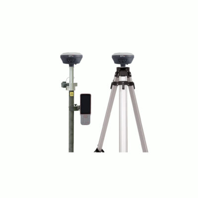
GPS Accessories for Surveying: The Must-Have Tools for Accurate Results
The advancements in technology have made GPS accessories more affordable and accessible. Today, there are [...]

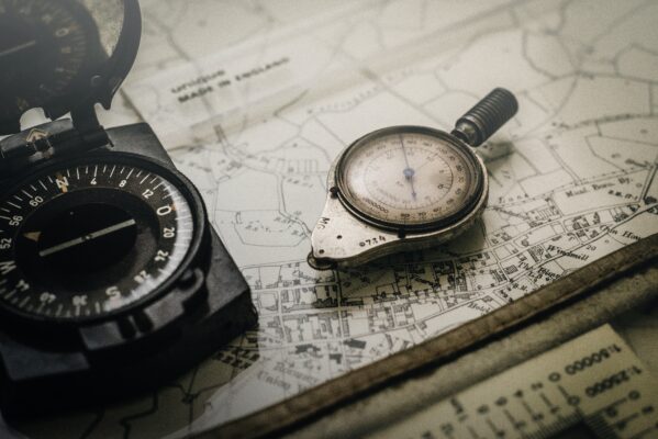
Coordinate Datum Transformation: Understanding the Importance of Accurate Spatial Data
Coordinate datum transformation is a crucial step in ensuring the accuracy of spatial data. By [...]

GNSS Timing and Atmospheric interferences: How GNSS is Solving These Problems
Atmospheric interference is a significant source of error in GNSS positioning and timing, but GNSS [...]

Understanding RTK VRS Networks
RTK VRS networks are a powerful and versatile tool that can be used to provide [...]
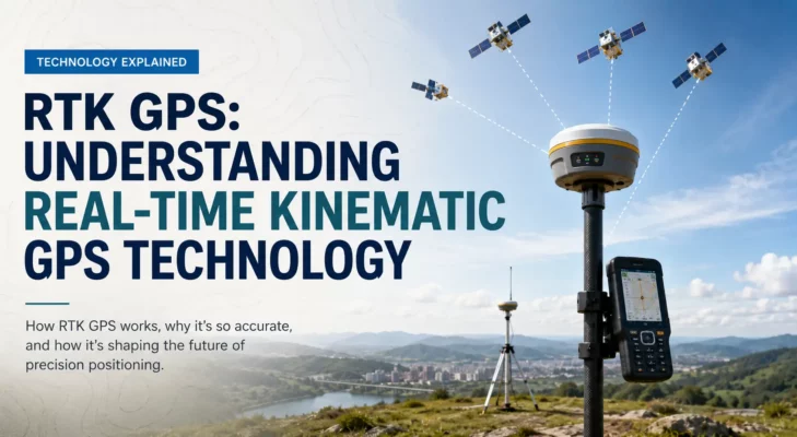
RTK GPS: Understanding Real-Time Kinematic GPS Technology
Real-time kinematic (RTK) GPS is a powerful technology that is used to provide highly accurate [...]
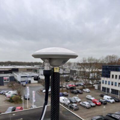
What is RTK VRS: A Guide on the technology
RTK VRS is a powerful technology that offers a cost-effective, accurate, and flexible solution for [...]

IMU Tilt Compensation in GNSS Surveying: What It Means and Why It Matters
IMU tilt compensation allows a GNSS rover to measure accurate ground points even when the [...]
 GPS & GNSS
 Total Stations
 Data collectors
 Software
 Correction services
 Machine control
 External radio
 Marine
 Accessories