


 GPS & GNSS
 Lidar scanning
 Total Station

Marine
Marine
Marine
Marine
Marine
Marine Surveying Equipment for Hydrographic and Bathymetric Work
Marine surveying equipment combines accurate positioning with depth measurement to help surveyors, engineers and hydrographic teams understand what is happening below the water surface. These systems are commonly used for bathymetric surveying, dredging projects, harbour inspections, river and canal surveys, reservoir mapping, construction work and environmental monitoring.
The Marine range at Global GPS Systems includes dedicated echo sounders for measuring water depth and USV systems that can carry surveying equipment across the water without requiring a surveyor to operate from a conventional boat. The right solution depends on the water environment, required survey accuracy, project size and how the collected data will be used.
Echo Sounders for Water Depth Measurement
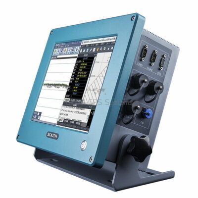
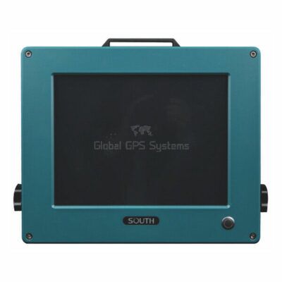
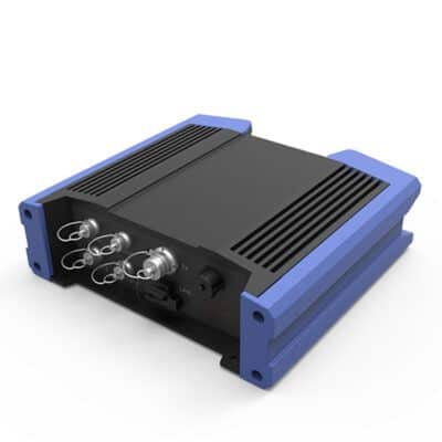
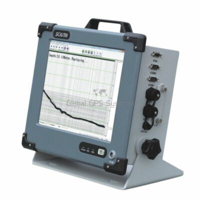
An echo sounder determines water depth by transmitting an acoustic signal toward the bottom and measuring how long the returning signal takes to reach the sensor. This makes echo sounding a practical method for creating depth profiles and bathymetric datasets across rivers, lakes, canals, reservoirs and coastal areas.
For survey work, depth measurements normally need to be combined with accurate position information. GNSS positioning allows each measured depth to be connected to a geographic coordinate, producing data that can later be processed into profiles, contour maps, digital terrain models or other hydrographic deliverables.
When comparing echo sounders, consider the expected water depth, bottom conditions, measurement frequency, positioning requirements, communication interfaces and the software workflow used to record and process the data. Shallow inland water surveys can have very different requirements from deeper marine or harbour work.
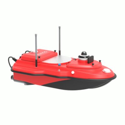
USV Unmanned Survey Vessels
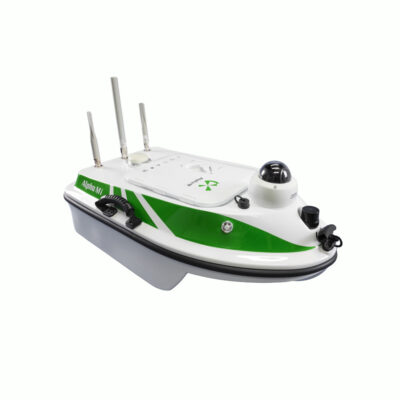
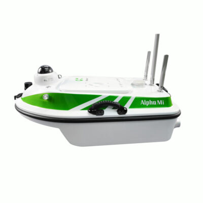
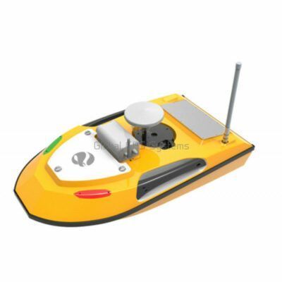
A USV, or unmanned surface vessel, provides a mobile platform for collecting survey data on water. Survey instruments such as GNSS receivers and echo sounders can be integrated with the vessel so that positioning and depth measurements are collected while it follows a planned survey route.
USVs are particularly useful where conventional boat surveying is inefficient, difficult or undesirable. Examples include shallow reservoirs, canals, ponds, mining sites, rivers and construction areas where access can be restricted. They can also help survey teams collect systematic measurements along planned lines while operators remain on shore.
Important factors when selecting a USV include:
- Survey payload: Check which echo sounders, GNSS equipment and additional sensors the vessel can support.
- Positioning: Accurate GNSS or RTK positioning is important when depth data must be tied to precise coordinates.
- Water conditions: Vessel dimensions, propulsion and control characteristics should suit the expected current, waves and working environment.
- Operating range: Consider communication range, battery capacity and the practical size of the survey area.
- Mission planning: Automated route planning can make it easier to create consistent survey lines and repeat measurements.
Common Applications for Marine Survey Equipment
Marine surveying systems are used by survey companies, civil engineering contractors, dredging specialists, environmental organisations and public authorities. Typical projects include measuring riverbeds before construction, checking dredging progress, calculating reservoir or sediment volumes, mapping waterways and documenting underwater terrain around infrastructure.
Construction teams can use repeated bathymetric measurements to compare conditions before, during and after a project. Hydrographic surveyors may require more detailed datasets for modelling the seabed or riverbed, while environmental teams may use repeatable survey routes to monitor changes over time.
Choosing the Right Marine Surveying System
Start with the required final result rather than choosing equipment based only on individual specifications. A project that only requires occasional depth measurements has different requirements from a complete bathymetric survey where thousands of depth observations must be accurately positioned and processed.
Consider the required accuracy, water depth, survey area, water conditions, GNSS correction method, sensor integration and software workflow. For precise bathymetric work, the relationship between the GNSS antenna, echo sounder transducer and water level is particularly important because all of these measurements affect the final elevation or depth result.
Also consider how the system will be transported and deployed. A compact solution can be valuable for teams moving between smaller sites, while larger projects may benefit from a more capable USV platform with greater operating endurance and payload capacity.
GNSS Positioning for Marine Surveys
Accurate positioning is an important part of most professional hydrographic surveys. RTK GNSS can provide centimetre-level positioning under suitable operating conditions and with an appropriate correction source. This allows the survey team to determine where individual depth measurements were collected and makes it possible to create repeatable survey lines.
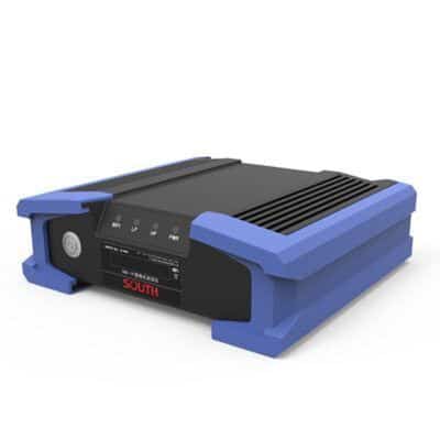
Depending on the project, marine equipment may therefore be used together with professional GNSS receivers, RTK correction services, data collection software and post-processing software. A well-integrated workflow reduces the amount of manual data handling between field collection and the final survey drawing or model.
Marine Survey Equipment from Global GPS Systems
Global GPS Systems supplies marine surveying solutions for professional users who need reliable depth and position data in practical field conditions. The available range includes echo sounders and USV platforms for different types of hydrographic and bathymetric surveying.
When choosing a system, it is useful to look at the complete workflow rather than the instrument alone. Consider how positioning, depth measurement, communication, data collection and processing will work together on your projects. Global GPS Systems can help buyers compare marine equipment based on the type of waterway, required measurements and existing surveying setup.
Marine Surveying Equipment FAQ
Marine Surveying Basics
What is marine surveying equipment used for?
Marine surveying equipment is used to measure water depth, determine accurate positions and map underwater terrain. Common applications include bathymetric surveys, dredging, harbour work, river and canal surveys, reservoir mapping, construction projects and environmental monitoring.
What is a bathymetric survey?
A bathymetric survey measures the depth and shape of underwater terrain. Depth observations from an echo sounder are normally combined with GNSS position data to produce profiles, contours, terrain models or other maps of the riverbed, lakebed or seabed.
Who uses marine surveying equipment?
Marine survey systems are used by hydrographic surveyors, construction companies, civil engineers, dredging contractors, environmental organisations, port authorities and other professionals who need accurate information about water depth or underwater terrain.
Echo Sounders
How does an echo sounder measure water depth?
An echo sounder sends an acoustic pulse toward the bottom and measures the time required for the reflected signal to return. The instrument uses this information to calculate the distance between the transducer and the underwater surface.
Does an echo sounder also provide a GPS position?
An echo sounder primarily measures depth. For professional mapping, it is commonly combined with GNSS positioning so that every depth measurement can be linked to an accurate geographic coordinate.
What should I consider when choosing an echo sounder?
Consider the expected water depth, bottom conditions, required measurement accuracy, operating frequency, communication interfaces, GNSS integration and the software used to collect and process your survey data.
USV Survey Boats
What is a USV?
A USV is an unmanned surface vessel that can carry surveying sensors across the water without requiring a surveyor to be physically on the vessel. Survey USVs are commonly equipped with GNSS positioning and echo sounding equipment.
When is a USV useful for surveying?
A USV can be useful for shallow water, reservoirs, rivers, canals, ponds, industrial sites and other locations where using a conventional survey boat is inefficient or difficult. Automated route planning can also help collect measurements along consistent survey lines.
Can a USV work with RTK GNSS?
Many professional survey workflows use RTK GNSS with a USV to provide accurate positioning for depth measurements. Compatibility depends on the specific vessel, GNSS receiver, correction source and software configuration.
Selecting a Marine Survey System
Which marine survey equipment do I need?
The right equipment depends on your required accuracy, survey area, water depth, water conditions and final deliverables. An echo sounder may be sufficient for straightforward depth measurements, while larger bathymetric projects can benefit from a complete USV, GNSS and echo sounder workflow.
Why is GNSS important for bathymetric surveying?
GNSS provides the position associated with each depth measurement. Accurate positioning is essential when creating bathymetric maps, comparing repeated surveys or linking underwater measurements to a construction or engineering coordinate system.
Can Global GPS Systems help me choose a marine surveying setup?
Yes. Global GPS Systems can help compare marine surveying equipment according to your project type, water environment, positioning requirements and existing survey workflow so that the selected system fits the work you need to perform.
 GPS & GNSS
 Total Stations
 Data collectors
 Software
 Correction services
 Machine control
 External radio
 Marine
 Accessories