

 GPS & GNSS
 Lidar scanning
 Total Station
User stories
Helping Avallo Advies Measure and Document Groundwater Monitoring Points
Avallo Advies specialises in groundwater management and geohydrology. The company helps public authorities, land managers, research institutes and private clients understand current groundwater and surface-water conditions.
Its work covers the complete monitoring process. Avallo designs and installs monitoring networks, collects and validates measurement data, makes that information accessible through online portals and provides analysis and advice. This data is used for subjects such as water management, nature restoration, climate adaptation, sustainable food production and spatial development.
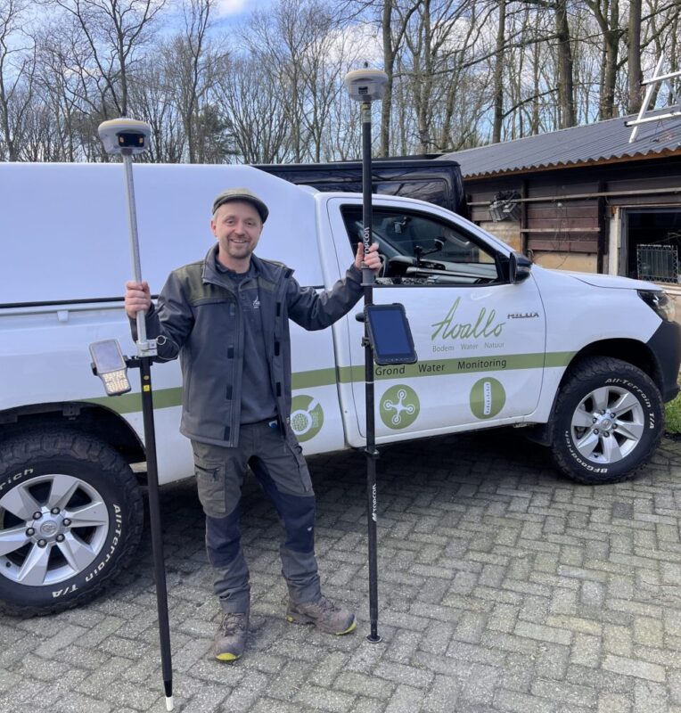
Accurate positioning is an important part of this work. When a monitoring point is installed, Avallo documents its location together with information about the installation, measuring equipment and surrounding conditions.
A Specific Requirement for Fieldwork
Avallo approached Global GPS Systems while looking for a GNSS receiver that met a particular practical requirement: it needed to have removable batteries.
The receiver Avallo was looking for was not listed in the standard online range. However, Global GPS Systems is not limited to the products displayed on its website. Its wider supplier network made it possible to look beyond the regular catalogue and source equipment based on Avallo’s requirements.
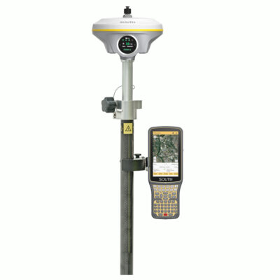
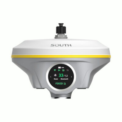
After comparing the available options, the South INNO7 was selected.
Why the South INNO7 Was Chosen
The removable batteries were an important reason for choosing the South INNO7. In addition, the receiver is equipped with a tilt sensor.
Tilt compensation allows measurements to be taken when the surveying pole is not held completely vertical. The calculated position still corresponds to the tip of the pole. This provides more flexibility when measuring around installed monitoring equipment or at locations where space is limited.
For a company whose field teams work at many different sites, equipment needs to be practical as well as technically capable. The INNO7 provides the combination of features Avallo was looking for without forcing the company to select a receiver simply because it happened to be included in an online catalogue.
GPS Rover Sets


Familiar South Surveying Software
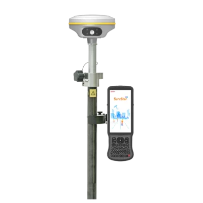
The South INNO7 uses the same surveying software as the South Galaxy G7. This software contains the functionality required for positioning and surveying work in the Netherlands, while also supporting projects outside the country.
Using established field software gives Avallo access to the necessary measurement functions without introducing an entirely separate workflow for the receiver.
Supporting Avallo’s Monitoring Process
Avallo carries out the complete process from installing a monitoring point in the field to analysing and presenting the resulting water data. Locations, installation details, photographs and other metadata are documented so that every measuring point can be properly identified and managed.
The South INNO7 supports the positioning part of that process. It gives field employees a suitable instrument for recording locations while working on groundwater and surface-water monitoring networks.
Global GPS Systems helped by focusing on Avallo’s actual equipment requirements rather than limiting the choice to products already displayed online. This resulted in a receiver with the requested removable batteries, tilt functionality and suitable surveying software.
For Avallo, the outcome was a GNSS solution that fits into its fieldwork and supports the accurate documentation of monitoring points—an essential step in turning measurements in the field into reliable and accessible water data.
 GPS & GNSS
 Total Stations
 Data collectors
 Software
 Correction services
 Machine control
 External radio
 Marine
 Accessories