

 GPS & GNSS
 Lidar scanning
 Total Station
User stories
How Van Baarsen Made RTK GNSS Part of Its Daily Fieldwork
Van Baarsen Buisleidingen has worked in underground infrastructure for more than seventy years. With over 300 experienced employees, the company installs, connects and replaces cables and pipelines for network operators, municipalities and businesses.
Its work ranges from individual utility connections to transport pipelines for entire residential areas. Van Baarsen is involved throughout the process, from engineering and construction to final as-built documentation. Accurate surveying data is important at almost every stage.
Finding a System That Works in Practice
Van Baarsen’s projects are spread across different regions, and field teams often work to tight schedules. The company therefore needed a surveying solution that could be used quickly and reliably by employees with different levels of GNSS experience.
Several RTK GNSS brands had already been tested, but each presented practical limitations. Some receivers were not robust enough for intensive daily use. Other systems produced unstable results when measuring with a tilted pole, or used software that was too complicated for employees with limited surveying experience.
When Van Baarsen contacted Global GPS Systems, the first step was to understand how measurements were being carried out in the field and how the resulting data moved through the organisation. This made it possible to select equipment that suited the company’s actual workflow.
EFIX F7 for Everyday Surveying
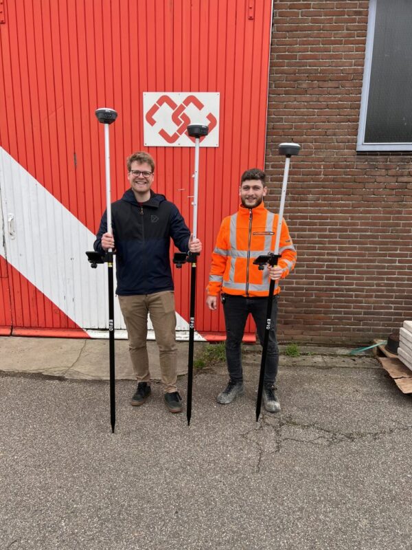
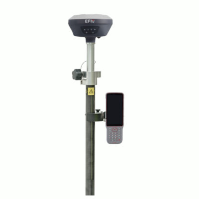
Van Baarsen now works with twenty EFIX F7 rover sets. These are mainly used for daily field measurements, where speed and straightforward operation are particularly important.
Each set includes tilt functionality. This allows employees to measure points even when the surveying pole cannot be held completely vertical. That is useful alongside buildings, between obstacles and inside trenches—situations that occur regularly during underground infrastructure work.
Being able to measure with a tilted pole reduces the time required at each location and helps avoid positioning errors. Employees do not need to find complicated ways to place the pole vertically when access to a point is restricted.

GPS Rover Sets
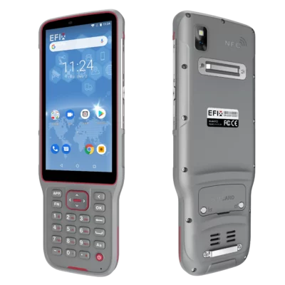
GPS & GNSS
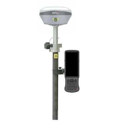
Visual Support with the EFIX F6
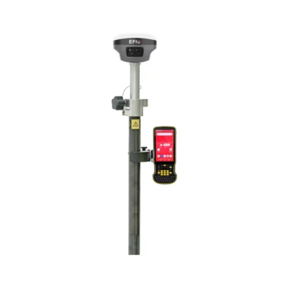
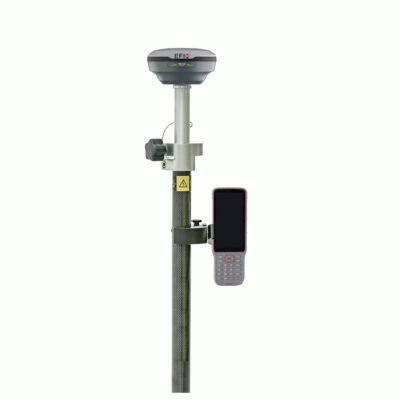
The company also uses five EFIX F6 rover sets. These systems have an additional role within the organisation and are mainly used where more guidance and visual confirmation are required.
Alongside tilt compensation, the EFIX F6 includes a stakeout camera. The camera provides visual guidance when locating and setting out a point. This makes the process easier to follow for employees who have less experience with GPS surveying.
The visual feedback helps users confirm that they are moving towards the correct position. It also reduces the amount of training required before a new user can start working with the equipment.
Connecting Fieldwork with the Office
Hardware was only part of the solution. The surveying software also needed to fit the CAD system already used by Van Baarsen.
The selected software allows measurement data to move directly into the company’s existing engineering and operational workflow. This avoids unnecessary intermediate steps and makes field data available to the people responsible for engineering, execution and as-built documentation.
By connecting field measurements with its internal systems, Van Baarsen can process data more consistently across different projects and teams.
Support During and After Implementation
Global GPS Systems assisted Van Baarsen with selecting and introducing the new equipment. Support continued after the initial rollout, with remote assistance available when field teams had questions or encountered an unusual situation.
This ongoing support helps prevent surveying questions from holding up work on site. Employees can rely on the equipment during daily operations while still having access to specialist assistance when required.
Surveying Available to More Employees
Van Baarsen now has an RTK GNSS solution that is robust enough for intensive field use, straightforward enough for employees without a surveying background and accurate enough for modern infrastructure projects.
The combination of EFIX receivers, accessible software and direct support has made surveying available to a wider group of employees. Measuring and staking out are no longer tasks that can only be performed by experienced specialists.
As a result, Van Baarsen can work faster and more consistently while using its field teams more flexibly. The technology supports shorter turnaround times and a smoother flow of information between the construction site, engineering department and project execution.
 GPS & GNSS
 Total Stations
 Data collectors
 Software
 Correction services
 Machine control
 External radio
 Marine
 Accessories