


 GPS & GNSS
 Lidar scanning
 Total Station
Data collectors
Data collectors
Data collectors
EFIX FC2 Data Collector for GNSS Surveying and Field Mapping
Data collectors

Data collectors

Data collectors


Data collectors

Data collectors
Data collectors
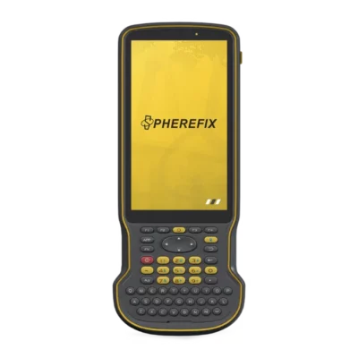
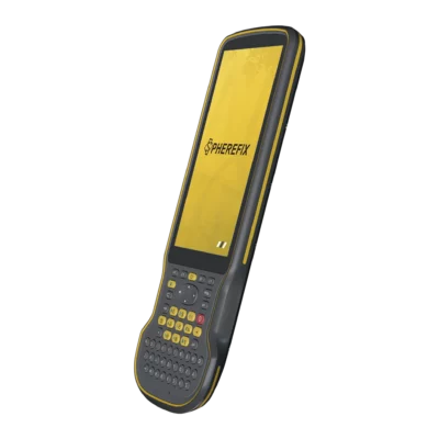
Survey Controllers for GNSS and Total Station Fieldwork
A survey controller is a rugged handheld computer used to operate professional measuring equipment in the field. It provides the interface between the operator and equipment such as an RTK GNSS receiver or total station, allowing measurements, project settings and field data to be managed from one portable device. For surveyors and construction professionals, the right controller can make everyday point collection and stakeout much more efficient.
Unlike a standard smartphone, professional survey controllers are developed around field use. Depending on the model, they can offer rugged housings, physical keyboards, programmable buttons, large batteries and communication options for connecting directly to survey instruments. This makes them suitable for repeated use on construction sites, engineering projects, cadastral surveys and GIS mapping work.
Using a Controller with an RTK GNSS Receiver
RTK GNSS surveying is one of the most common applications for a field controller. The controller normally connects to the receiver through Bluetooth or another supported wireless connection. Survey software installed on the controller can then be used to configure the rover, select coordinate systems, check the RTK solution, record points and perform stakeout.
During a typical survey, the operator can see point coordinates, receiver status and measurement quality directly on the controller. Points can be given codes or descriptions while they are measured, helping create a structured dataset that can later be transferred to CAD, GIS or other office software.
When network RTK is used, a compatible controller can also help provide the internet connection required for NTRIP correction data. Models with mobile-data support are therefore particularly useful for users who regularly work with RTK correction networks instead of setting up their own base station.
Controllers for Construction Stakeout
Construction crews use survey controllers to transfer digital design information into the field. Coordinates for foundations, utilities, roads, structures and other design elements can be loaded into compatible field software and then staked out with an RTK GNSS receiver or total station.
A controller shows the operator how far and in which direction to move to reach the required design point. This provides a practical workflow for workers who need accurate positioning on site without constantly returning to paper plans or an office computer. A clear display and straightforward software interface are especially valuable for users who perform setting-out work throughout the day.
Survey Controllers with Physical Keypads
Many professional surveyors prefer controllers with physical buttons or a full alphanumeric keypad. A keypad can make it faster to enter point numbers, descriptions and numerical values, particularly when the same commands are used repeatedly.
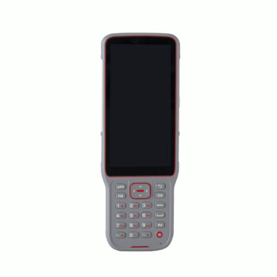
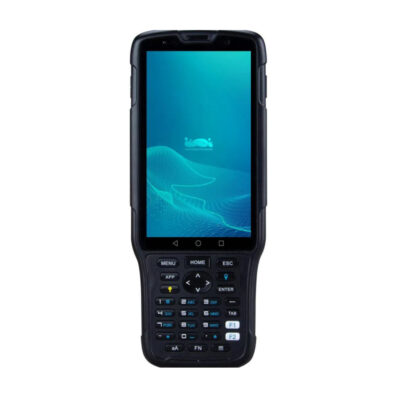
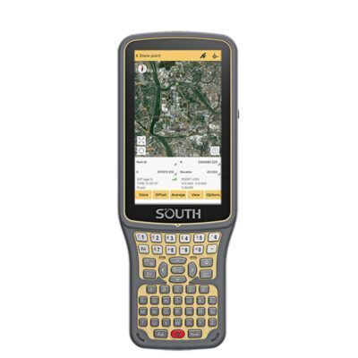
Physical controls are also useful in situations where touchscreen operation becomes less convenient, such as when wearing gloves or working in rain, cold weather or dusty conditions. Controllers such as the SOUTH H-series and comparable field models combine touchscreen operation with physical controls so operators can use whichever method suits the task.
Android Survey Controllers
Android is widely used in modern GNSS data collectors. An Android survey controller combines a familiar touchscreen environment with hardware designed for professional field use. Depending on the software installed, the controller can support GNSS setup, point measurement, feature coding, stakeout, background maps, coordinate-system configuration and project import or export.
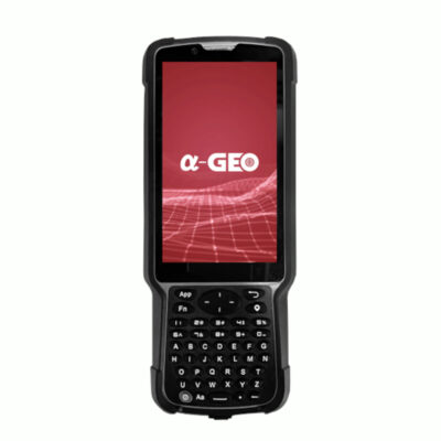
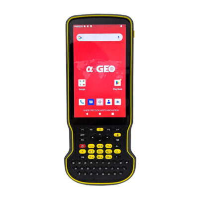
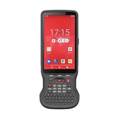
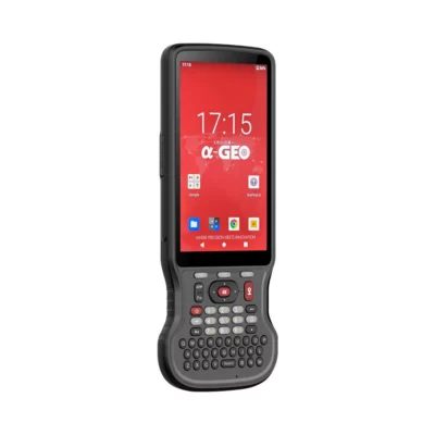
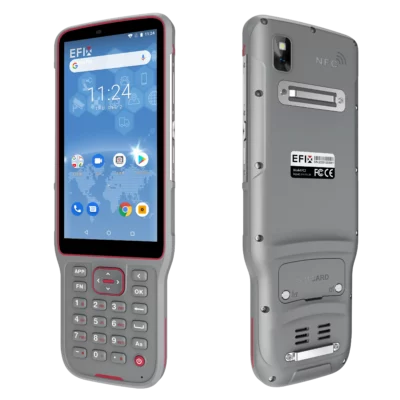
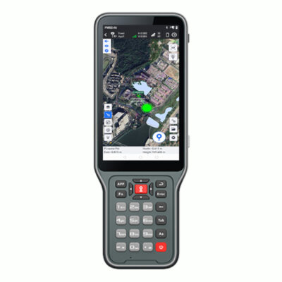
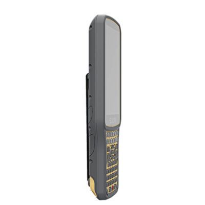
The controllers available from Global GPS Systems include models such as the SOUTH H6, H9 and H10, EFIX FC2, Satlab SHC55, AlphaGeo controllers, Spherefix C100 and C500 series and other field data collectors. Different models provide different combinations of screen size, keypad layout, operating system, connectivity and ruggedness, so the best option depends on the equipment and software you intend to use.
What to Look for When Choosing a Survey Controller
Compatibility should be the first consideration. A controller needs to communicate correctly with your GNSS receiver or total station and run the field software required for your workflow. Once compatibility has been confirmed, you can compare the physical characteristics and features that affect everyday use.
- Instrument compatibility: check support for the GNSS receiver, total station or other equipment you use.
- Field software: confirm that your preferred surveying or GIS application runs on the controller.
- Screen size: compact displays reduce bulk, while larger screens make maps and graphical stakeout easier to view.
- Keypad: physical buttons can make repetitive survey work and numerical entry faster.
- Connectivity: Bluetooth, Wi-Fi and mobile data can be important for instruments, cloud services and NTRIP corrections.
- Ruggedness: consider protection against dust, water, drops and normal construction-site conditions.
- Battery life: choose a controller that can support the length of your normal working day.
Controller or Rugged Tablet?
A handheld controller is usually the better choice when portability is important. Surveyors can mount a compact controller on a GNSS pole and comfortably carry it throughout a full day of point collection or stakeout. Physical buttons can also make a handheld controller especially convenient for traditional surveying workflows.
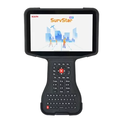
A rugged tablet provides more display space and can be preferable when operators regularly work with large maps, CAD drawings, aerial imagery or detailed site information. Construction and GIS users in particular may value the larger visual workspace. The trade-off is that a tablet is normally larger to carry and mount.
Controllers for Total Stations
Compatible controllers can also operate manual and robotic total stations. With suitable field software, the same controller may be used to collect total station measurements, stake design points and manage project files. This is particularly useful for surveyors who combine GNSS and optical surveying on the same project.
For example, GNSS can be used in open areas where satellite reception is good, while a total station can take over near buildings, below structures or in other areas where GNSS visibility becomes difficult. Using the same software environment can help keep point numbers, codes and project data organised across both measurement methods.
Controllers for GIS and Asset Mapping
GIS fieldwork often requires more than simply recording coordinates. Operators may also need to enter asset names, condition information, codes, photographs or other attributes. A rugged controller running suitable field software can combine the positional measurement and descriptive information in one workflow.
This is useful for mapping utilities, inspection points, street furniture, environmental features and other assets where accurate GNSS coordinates must be connected to structured field information.
Choosing a Controller from Global GPS Systems
Global GPS Systems offers survey controllers for a wide range of GNSS, total station, construction and mapping workflows. Before selecting a model, start with the instruments and software you already use or plan to purchase. Then compare factors such as display size, keypad design, operating system, connectivity and environmental protection.
For a lightweight GNSS rover setup, a compact handheld controller with physical keys can be the most practical option. Users who work more extensively with maps and graphical information may prefer a larger touchscreen controller. Matching the controller to the receiver, software and actual field workflow is more important than selecting a device based on specifications alone.
Survey Controllers FAQ
Survey Controller Basics
What is a survey controller?
A survey controller is a rugged handheld computer used to operate equipment such as RTK GNSS receivers and total stations. It runs field software for configuring instruments, measuring points, entering codes, performing stakeout and managing project data.
Who uses survey controllers?
Survey controllers are commonly used by land surveyors, construction crews, civil engineers, GIS professionals and other field workers who need to operate precision positioning or surveying equipment on site.
Why use a survey controller instead of a normal smartphone?
A professional survey controller is designed specifically for fieldwork. Depending on the model, it can provide rugged construction, physical controls, better pole-mount compatibility, specialised communication options and support for professional surveying software and instruments.
GNSS and RTK Use
Can a survey controller work with an RTK GNSS receiver?
Yes. Operating an RTK GNSS rover is one of the main uses of a survey controller. The controller can display the RTK status, configure the receiver, collect points, enter feature codes and guide the operator during stakeout.
Can a controller connect to an NTRIP correction service?
Many modern survey controllers can connect to the internet through Wi-Fi or mobile data and can be used with compatible software to receive NTRIP corrections. Exact functionality depends on the controller, receiver and field application.
Does the controller determine GNSS accuracy?
The GNSS receiver performs the satellite positioning, so the controller itself does not determine RTK accuracy. The controller is used to configure the receiver, manage corrections and record measurements. Correct project settings and field procedures are still important for accurate results.
Choosing a Controller
Should I choose a controller with a physical keypad?
A physical keypad is useful if you frequently enter point numbers, coordinates or codes. It can also make field operation easier when wearing gloves or working in conditions where touchscreen input is less convenient.
What screen size is best for a survey controller?
A smaller controller is convenient for pole-mounted GNSS surveying because it is easier to carry. A larger display gives more space for maps, plans and graphical stakeout information. The best choice depends on the type of fieldwork you perform most often.
What should I check before buying a GNSS controller?
Check compatibility with your receiver or total station, supported field software, operating system, display and keypad design, wireless connectivity, mobile-data options, battery capacity and protection against normal field conditions.
Software and Instrument Compatibility
Can one controller work with different GNSS receiver brands?
Potentially, but compatibility depends on the field software and communication protocols being used. Do not assume that every controller can operate every receiver. Confirm the supported equipment before selecting a controller.
Can the same controller operate a GNSS receiver and total station?
Yes, when the controller software supports both instruments. This can be useful for surveyors who switch between GNSS and total station measurements while keeping their project information in the same field environment.
How do I choose the right survey controller for my equipment?
Start by identifying your GNSS receiver or total station and the field software it requires. Then compare controllers that support that combination. Global GPS Systems can help match a suitable controller to your instruments, software and typical field workflow.
 GPS & GNSS
 Total Stations
 Data collectors
 Software
 Correction services
 Machine control
 External radio
 Marine
 Accessories