


 GPS & GNSS
 Lidar scanning
 Total Station
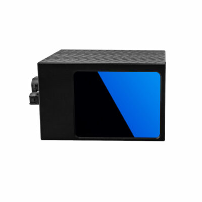
Lidar & 3D scanning
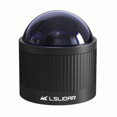
Lidar & 3D scanning
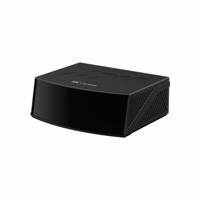
Lidar & 3D scanning
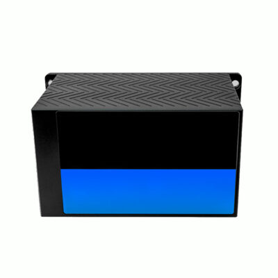
Lidar & 3D scanning
Lidar & 3D scanning
Lidar & 3D scanning
Lidar & 3D scanning
Lidar & 3D scanning
Lidar & 3D scanning

Lidar & 3D scanning
Lidar & 3D scanning
Lidar & 3D scanning
LiDAR sensors for mapping, surveying and system integration
LiDAR sensors use laser measurements to determine the distance between the sensor and surrounding surfaces. By taking large numbers of measurements across a defined field of view, a LiDAR can create detailed information about terrain, buildings, vehicles, vegetation, objects and other parts of the environment. Depending on the sensor design, the output can range from a simple 2D scan profile to a dense three-dimensional point cloud.
Unlike a complete handheld 3D scanner, a standalone LiDAR sensor is normally intended to become part of a larger measurement or perception system. It can be integrated with equipment such as a GNSS receiver, IMU, camera, onboard computer, data logger or processing software. This flexibility makes LiDAR sensors suitable for professional mapping equipment, drones, mobile mapping platforms, robotics, autonomous machinery and fixed monitoring installations.
How does a LiDAR sensor work?
A LiDAR sensor emits laser light towards an object and measures the returned signal. The measured travel time is used to determine the distance to the surface. Repeating this measurement rapidly across different directions creates a digital representation of the surrounding environment.
For professional users, the practical value is the amount of spatial information that can be captured automatically. Instead of measuring individual surfaces or objects manually, a LiDAR can continuously collect distance measurements while a vehicle, drone, robot or mapping platform moves through the project area.
2D and 3D LiDAR sensors
Not every LiDAR sensor produces the same type of data. A 2D LiDAR generally scans across a single plane and is commonly used for navigation, obstacle detection, positioning and industrial automation. A 3D LiDAR sensor measures across both horizontal and vertical directions, allowing it to create a three-dimensional view of the environment.
For surveying, mobile mapping and drone applications, 3D sensors are usually more relevant because terrain, structures and objects need to be represented in three dimensions. For robotics or machine control, a 2D sensor can still be a practical choice where the system mainly needs to detect objects at a particular height or navigate across a relatively flat environment.
Mechanical, hybrid solid-state and solid-state LiDAR
LiDAR sensors are available with different scanning architectures. Traditional mechanical sensors rotate optical components to provide wide or complete horizontal coverage. These systems are commonly used where a broad view of the surroundings is required.
Hybrid solid-state designs reduce the amount of mechanical movement while providing dense measurements within a defined field of view. For example, sensors such as the LS Lidar CH128 Series combine a 128-channel architecture with a forward-looking field of view for perception, navigation and mapping applications. Different designs involve different trade-offs between coverage, packaging, range, point density and integration requirements.
LiDAR sensors for surveying and mapping
LiDAR sensors can form the measurement component of a mobile mapping or surveying system. When combined with positioning hardware, the measurements can be transformed from sensor-relative distances into spatial coordinates that represent the surveyed environment.
Typical applications include topographic mapping, road surveys, corridor mapping, stockpile measurement, terrain modelling, infrastructure documentation and asset capture. The LiDAR provides the dense surface measurements, while other components determine where those measurements are located in the project coordinate system.
LiDAR sensors for drones
Drone LiDAR systems allow terrain and objects to be measured from the air. A suitable sensor can be integrated with a UAV together with GNSS, an IMU, storage and processing hardware. This type of system can be useful for terrain mapping, forestry, infrastructure inspection, mining and other projects where collecting dense spatial data from above is more practical than measuring solely from the ground.
When selecting a sensor for a drone, weight and dimensions become especially important. Measurement range, point rate and field of view should also match the intended flying height and required point density. The LiDAR itself is only one part of the solution; accurate positioning and orientation are essential when the point cloud needs to be georeferenced.
LiDAR sensors for mobile mapping
A vehicle-mounted mapping system can combine one or more LiDAR sensors with GNSS and inertial positioning equipment. As the vehicle moves, the LiDAR continuously measures roads, buildings, signs, barriers, vegetation and other surrounding features. This can provide much greater spatial coverage than measuring every feature separately.
The required sensor depends on vehicle speed, expected object distance and the amount of detail needed. Wide fields of view are valuable when the system must see around the platform, while long-range sensors are useful when distant objects need to be detected. High point rates can provide denser datasets when travelling at higher speeds.
LiDAR for robotics and autonomous systems
Robots and autonomous machines use LiDAR to understand the geometry around them. Distance measurements can support obstacle detection, localization, navigation, collision avoidance and environmental mapping. Some sensors provide 360-degree horizontal coverage, while others concentrate measurements in a forward-facing area.
Short-range sensors can work well for indoor robots and slower-moving equipment, while autonomous vehicles and heavy machinery may require substantially longer detection distances. Current LiDAR ranges therefore include compact sensors for nearby environmental sensing as well as long-range multi-channel sensors intended for vehicle integration.
Understanding LiDAR detection range
Detection range tells you approximately how far the sensor can detect a suitable target, but maximum range should not be considered by itself. Dark surfaces generally reflect less laser energy than brighter or more reflective objects, so manufacturers may also specify range at a particular reflectivity.
In real applications, choose sufficient range for the distances that actually matter. An indoor robot may only need reliable information about nearby obstacles, while vehicle perception or large-scale mapping can require measurements at much greater distances.
Field of view
The field of view describes how much of the environment the sensor can observe horizontally and vertically. A rotating sensor may provide complete 360-degree horizontal coverage, while a directional sensor concentrates its measurements within a particular area.
A wider field of view helps reduce blind areas, but the best configuration depends on installation position and application. The LS Lidar CHR Series, for example, is designed around very wide horizontal and vertical coverage for close-range 3D perception, while other sensor families use narrower forward-facing fields of view for longer-distance applications.
Scan lines and channels
Multi-line LiDAR sensors use multiple measurement channels to capture vertical information. A higher channel count can generally provide more detailed vertical sampling, but channel count alone does not determine overall data quality.
Angular resolution, scanning pattern, point rate and field of view also affect how densely objects are represented. A 128-channel sensor may be appropriate for detailed perception applications, while a lower-channel system may provide sufficient data for simpler navigation or mapping tasks.
Point rate and point cloud density
The point rate indicates how many measurements a LiDAR can generate per second. Higher rates can create denser point clouds and help capture more detail when the sensor platform is moving quickly. However, they also produce more data that must be transferred, stored and processed.
For example, current sensors in this category range from application-focused compact units to high-density models capable of generating hundreds of thousands or millions of points per second. The LS-S1 Series is designed around very high point-cloud density and long-distance sensing, while the CH128 Series provides 760,000 points per second in a compact hybrid solid-state design.
Accuracy and resolution
Accuracy describes how closely a measured distance corresponds to the actual distance, while resolution describes how finely the sensor samples its surroundings. Both matter, but the required values depend heavily on the application.
A surveying or mapping system also has other sources of error. GNSS positioning, IMU orientation, calibration between sensors, timing synchronization and processing all affect the final point cloud. A highly accurate LiDAR sensor therefore does not automatically guarantee that the complete mapping system achieves the same accuracy.
GNSS and IMU integration
LiDAR measures geometry relative to the sensor itself. If the final point cloud must be positioned in real-world coordinates, the system normally needs additional positioning information. An RTK or GNSS receiver can establish geographic position outdoors, while an IMU measures changes in orientation and movement.
Synchronizing these measurements allows mapping software to determine where each LiDAR point belongs. The quality of the complete GNSS/IMU/LiDAR integration is particularly important for drone and vehicle-based mapping, where the sensor is constantly moving during data collection.
Using LiDAR sensors with SLAM
LiDAR can also be used as an input for SLAM, or Simultaneous Localization and Mapping. SLAM algorithms compare surrounding geometry while the platform moves, allowing a robot or mobile scanner to estimate its trajectory and build a map at the same time.
This is useful indoors and in other areas where GNSS reception is poor or unavailable. A LiDAR intended for SLAM should provide suitable environmental coverage, measurement frequency and point density for the movement and surroundings involved.
Important considerations when choosing a LiDAR sensor
Start with the actual environment and intended result rather than choosing solely by the largest specification values. A long-range autonomous-vehicle sensor has very different requirements from a compact indoor robotics sensor or a LiDAR being integrated into a UAV mapping payload.
- Detection range: choose a practical working range for the expected target distances and surfaces.
- Field of view: determine whether you need 360-degree environmental coverage or a focused viewing area.
- Channels and resolution: consider the level of vertical and horizontal detail required.
- Point rate: match data density to platform speed and the detail required in the final point cloud.
- Accuracy: consider both individual range accuracy and the complete system accuracy after positioning and processing.
- Size and weight: particularly important for drones, robots and other payload-limited platforms.
- Interfaces: confirm that communication, timing and data connections are compatible with the rest of the system.
Choosing between a LiDAR sensor and complete 3D scanner
A standalone LiDAR sensor is normally the right choice when you are developing or integrating your own mapping, robotics, navigation or perception platform. It gives the system designer flexibility to select separate positioning, computing and software components.
A complete handheld or SLAM scanner is usually more appropriate when the priority is a ready-to-use field workflow. These systems combine the LiDAR with other sensors, computing and software so an operator can begin collecting point cloud data without designing the complete sensing platform independently.
LiDAR sensor integration with Global GPS Systems
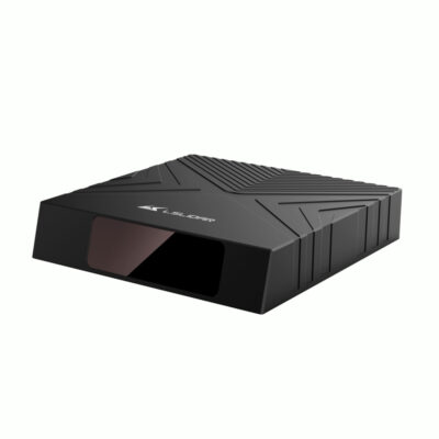
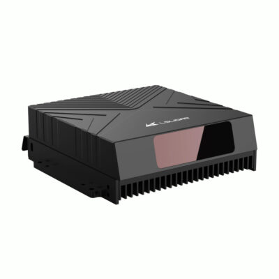
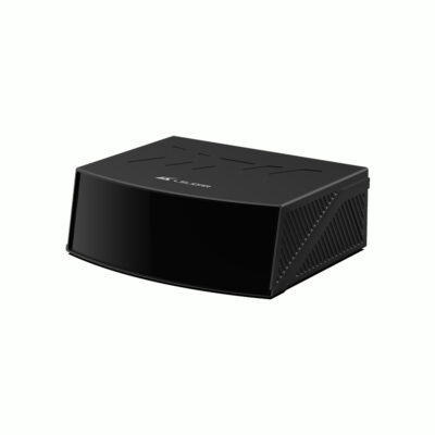
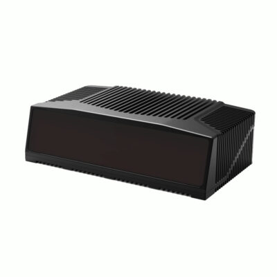
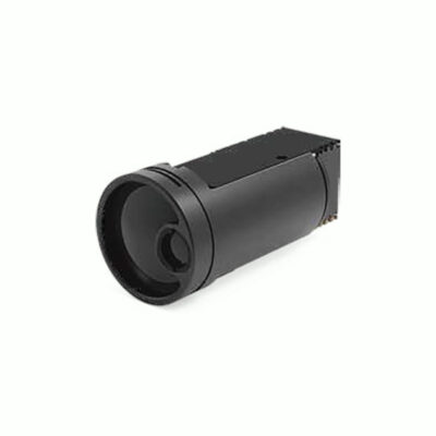
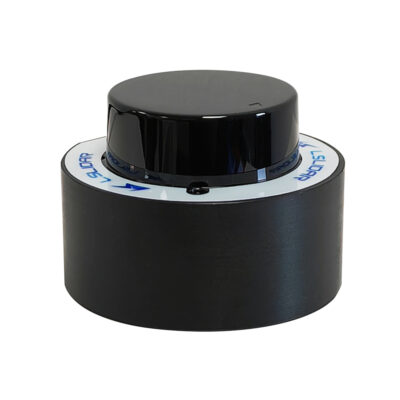
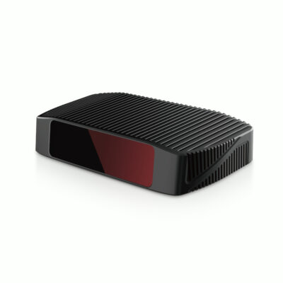
Global GPS Systems offers LiDAR sensors covering different ranges, fields of view and integration requirements, including multiple LS Lidar sensor families. The current category includes solutions such as the CH128 Series, CHR Series, CX Series, HS1, LS-S1 Series, LS25D, LS500W1, LS74A, MS06, N Series and Terminator 1.
When comparing sensors, consider the complete system rather than LiDAR specifications alone. Surveyors, drone operators, GIS teams, engineers and system integrators may also need GNSS, IMU, SLAM processing, computing and suitable software to produce a useful final dataset. Selecting these components together helps create a workflow that fits the required accuracy, environment and final deliverable.
LiDAR Sensors FAQ
LiDAR sensor basics
What is a LiDAR sensor?
A LiDAR sensor uses laser light to measure distances between the sensor and surrounding surfaces. Large numbers of these measurements can be combined into a 2D scan or three-dimensional point cloud for mapping, navigation, object detection and measurement.
What is the difference between a LiDAR sensor and a LiDAR scanner?
A standalone LiDAR sensor is normally a component designed for integration into a larger system. A complete LiDAR scanner generally combines the sensing hardware with positioning, computing, storage and software to provide a more complete field workflow.
What is the difference between 2D and 3D LiDAR?
A 2D LiDAR generally measures across one scanning plane, while a 3D LiDAR also captures vertical information. Three-dimensional sensors are commonly selected for mapping and environmental perception where objects and terrain need to be represented in full 3D.
Specifications and selection
How much LiDAR range do I need?
Choose the range according to the maximum distance at which useful measurements are required. Indoor robotics may only need short-range sensing, while vehicle perception, terrain mapping and infrastructure applications can require considerably longer ranges. Also check the specified performance on low-reflectivity targets.
What does LiDAR field of view mean?
Field of view describes the horizontal and vertical area that the sensor can measure. Some sensors provide 360-degree horizontal coverage, while others focus measurements into a forward-facing area. The best configuration depends on the installation and application.
Does a higher point rate always mean a better LiDAR?
No. A higher point rate can create denser data, but range, accuracy, angular resolution, field of view, scanning pattern and integration requirements are equally important. The correct sensor is the one whose complete specification matches the application.
GNSS, IMU and SLAM integration
Does a LiDAR sensor need GNSS?
Not for basic distance measurement. GNSS is required when a moving outdoor mapping system needs to determine where the LiDAR measurements are located geographically. For accurate mobile mapping, GNSS is commonly combined with an IMU and suitable processing software.
Why combine LiDAR with an IMU?
An IMU measures movement and orientation. When a LiDAR is installed on a moving drone, vehicle or mapping platform, IMU information helps determine the sensor's orientation when each measurement is collected.
Can a LiDAR sensor be used for SLAM?
Yes. LiDAR data can be used by SLAM algorithms to compare surrounding geometry, calculate the movement of a robot or scanner and build a map. This is particularly useful indoors and in other environments where GNSS positioning is unavailable.
Applications and integration
Can LiDAR sensors be used on drones?
Yes. LiDAR sensors can be integrated into UAV mapping payloads together with positioning, orientation, computing and storage hardware. For drone integration, weight, dimensions, power consumption, range and the required mapping accuracy should all be considered.
Can LiDAR sensors be used for surveying?
Yes. LiDAR sensors are widely used as part of mobile, aerial and other mapping systems. For survey work, the LiDAR measurements normally need to be combined with accurate positioning, calibration and processing to produce a correctly georeferenced point cloud.
What do I need besides the LiDAR sensor?
This depends on the application. A complete mapping system may require a GNSS receiver, IMU, computer, data logger, camera, power supply, mounting hardware and processing software. Robotics and autonomous applications may instead combine the sensor with an onboard computer and navigation or perception software.
 GPS & GNSS
 Total Stations
 Data collectors
 Software
 Correction services
 Machine control
 External radio
 Marine
 Accessories