


 GPS & GNSS
 Lidar scanning
 Total Station


GPS Rover Sets


GPS Rover Sets
GPS Rover Sets
GPS & GNSS


GPS Rover Sets


GPS Rover Sets

GPS Rover Sets
GPS & GNSS

GPS Rover Sets


GPS Rover Sets
GPS Rover Sets


GPS Rover Sets
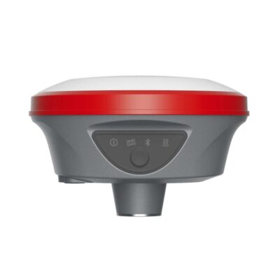
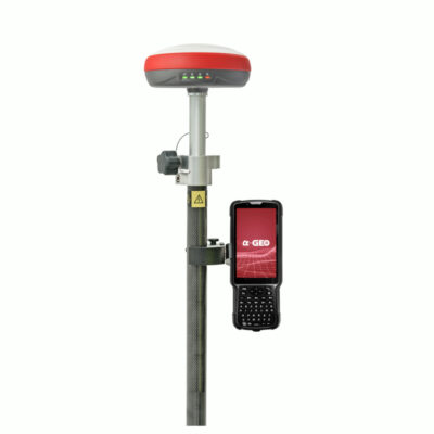
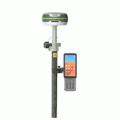
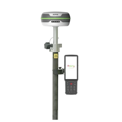
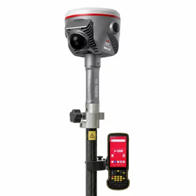
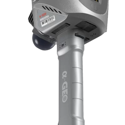
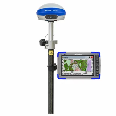
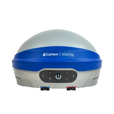
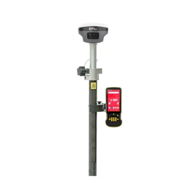
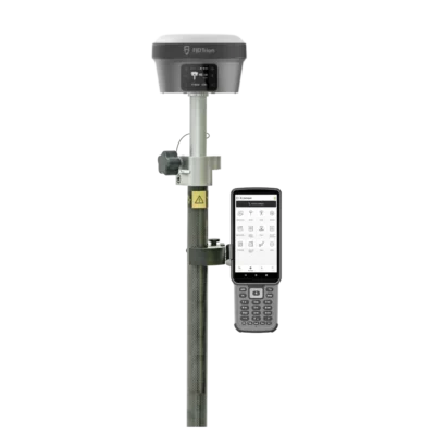
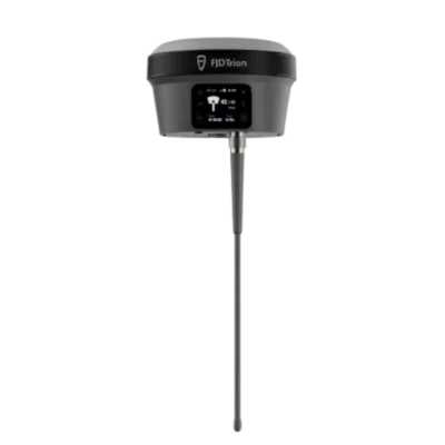
A GPS rover set, also called a GNSS rover set or RTK rover set, is a complete field surveying solution for collecting accurate position data and staking out points on site. These systems are used by surveyors, contractors, engineers, utility companies, drone mappers and construction professionals who need centimetre-level positioning in the field. Modern RTK GNSS rover sets are no longer limited to a receiver, pole and controller. Many current systems include advanced features such as IMU tilt compensation, visual stake-out cameras, laser measurement, AR stake-out and integrated LiDAR or SLAM technology. This makes it easier to measure points near walls, fences, trenches, trees, traffic, buildings and other hard-to-reach locations.
What is a GPS Rover Set?
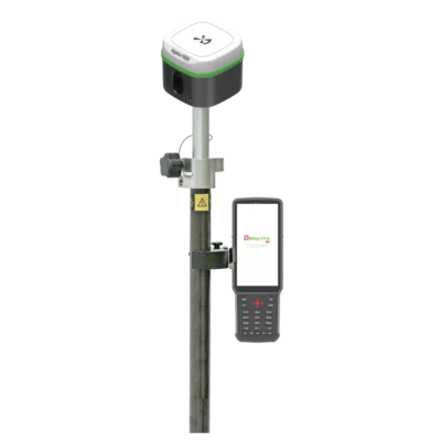
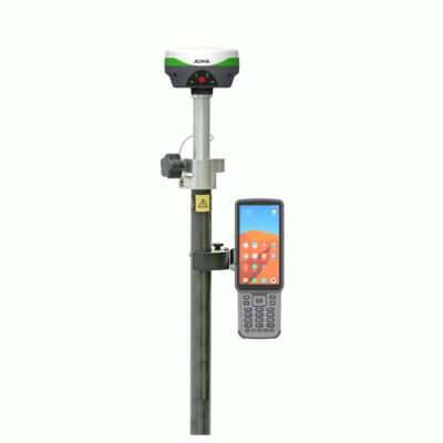
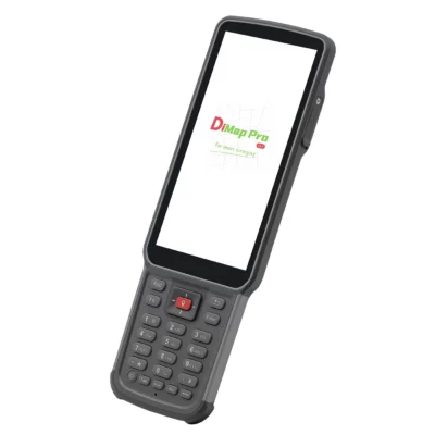
A GPS rover set is the equipment you use to measure, map or stake out points in the field. In most cases, a rover set includes a GNSS receiver, data collector or controller, field software, pole, bracket and the accessories needed to start surveying. Most professional rover sets use RTK corrections to reach centimetre-level accuracy. These corrections can come from an RTK network through NTRIP, from a local base station, or from another correction service depending on your region and project requirements.
Rover Set or Rover and Base Set?
A rover-only set is the best choice when you have access to a reliable RTK network, VRS network, CORS network or correction service. In this setup, you only need one receiver in the field. The rover receives correction data through the internet, usually via the controller, receiver modem or a mobile hotspot. A rover and base set is better when there is no reliable RTK network available, when you work in remote areas, or when you want to operate independently from third-party correction services. In this setup, one receiver works as the base station and the second receiver is used as the rover.
What Can You Use an RTK GNSS Rover For?
RTK GPS rover sets are commonly used for land surveying, construction layout, road work, utility mapping, earthworks, drainage, agriculture, mining, landscaping and infrastructure projects. They are also used to measure boundaries, collect terrain points, create digital terrain models, record cables and pipes, set out foundations, and place Ground Control Points for drone mapping. Collected field data can often be exported to formats such as DXF, CSV, LandXML or other CAD and GIS formats, depending on the field software used.
Useful Features in Modern GNSS Rover Sets
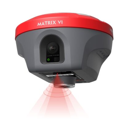
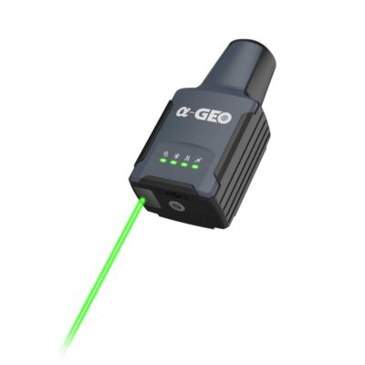
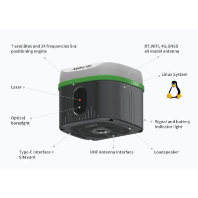
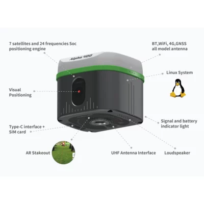
IMU tilt compensation allows you to measure accurately without keeping the pole perfectly level. This saves time and makes difficult points easier to reach. Camera and AR stake-out systems help guide the user visually to the correct point, which is especially useful for construction layout and field teams with less surveying experience. Laser GNSS receivers allow non-contact measurement of points that are unsafe or impossible to reach directly, such as walls, edges, slopes or objects behind obstacles.Integrated LiDAR or SLAM rover systems are useful when you need more than single point measurements. They can help capture point clouds, scan complex environments, or continue collecting data in areas where GNSS performance is limited.
What Determines the Price of a GNSS Rover Set?
The price of a GNSS rover set depends on the receiver, controller, software and included accessories. Important differences include the number of GNSS channels, supported satellite constellations, IMU quality, internet and radio options, battery life, ruggedness, software compatibility, camera or laser features, and whether the system includes LiDAR or SLAM technology. Entry-level RTK rover sets are suitable for standard surveying and stake-out work. More advanced systems are designed for users who need faster workflows, tilt measurement, visual stake-out, laser measurement, stronger performance near obstacles, or hybrid GNSS and LiDAR data collection.
Which GPS Rover Set Should I Choose?
The best RTK rover set depends on how and where you work. For standard outdoor surveying, a reliable GNSS rover with IMU tilt compensation is often enough. For construction layout, a rover with visual stake-out or AR guidance can make fieldwork faster. For hard-to-reach points, a laser GNSS rover may be the better choice. For complex sites, urban areas, indoor-outdoor workflows or point cloud capture, a GNSS rover with integrated LiDAR or SLAM can be worth considering.Need help choosing? Compare the rover sets above or contact Global GPS Systems for advice based on your country, correction network, software preference and type of work.
 GPS & GNSS
 Total Stations
 Data collectors
 Software
 Correction services
 Machine control
 External radio
 Marine
 Accessories