


 GPS & GNSS
 Lidar scanning
 Total Station
Software
Software

Software

Software for GPS

Software
Software
Software
Software
Software
Software

Software for GPS and GNSS Surveying
Professional GPS surveying software turns a GNSS receiver into a practical field measurement system. It allows surveyors, construction workers, engineers and GIS professionals to configure their receiver, connect to RTK corrections, measure coordinates, stake out points and organise collected data directly in the field.
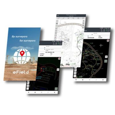
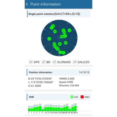
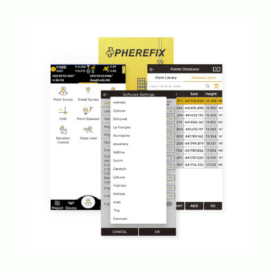
At Global GPS Systems you can find GPS and GNSS software for a wide range of surveying workflows. The selection includes applications such as a-GEO SurPro, Aplitop TcpGPS, Carlson SurvCE, Carlson SurvPC, Carlson SurveyGNSS, EFIX eField, EGStar, MicroSurvey FieldGenius, SatLab SatSurv, SOUTH SurvStar, South GIStar and SurvX. The right choice depends on your GNSS receiver, data controller, operating system and the type of work you need to perform.
What can GPS surveying software be used for?
Field software is the interface between the operator and the GNSS equipment. Instead of only displaying a position, professional software helps turn GNSS coordinates into usable survey information. A construction worker may use it to stake out foundation points, while a land surveyor may use the same type of software for topographic measurements, control points or boundary surveys.
Common applications include topographic surveying, construction stakeout, road and infrastructure work, utility mapping, GIS data collection, earthworks, site preparation and general RTK GNSS measurement. Depending on the software, users may also be able to work with lines, surfaces, coordinate geometry, background maps, CAD files and coded point libraries.
Typical field functions
- Measure and store GNSS points, lines and features.
- Stake out coordinates, lines, offsets and construction positions.
- Connect to RTK correction services or a local GNSS base station.
- Manage coordinate systems, projections and localisation parameters.
- Import and export common surveying and CAD data formats.
- Add point codes, descriptions and GIS attributes during measurement.
Why the software matters in an RTK GNSS workflow
The GNSS receiver determines the satellite observations and positioning performance, but the software determines how efficiently the operator can use those measurements. A clear field interface can make routine jobs such as measuring a point, entering an antenna height or navigating to a stakeout position considerably easier.
For RTK work, the software is also commonly used to configure the correction source. This can include connecting to an NTRIP network through mobile internet or working with corrections from a nearby GNSS base receiver. The software then shows the current positioning status so the operator can check whether the receiver has obtained the required solution before recording a measurement.
Choosing the right GPS surveying software
Compatibility should be the first consideration. Surveying applications do not automatically support every GNSS receiver or controller. Check which receiver brands, communication methods and operating systems are supported before selecting a software package.
The second consideration is the work you perform. For straightforward point measurement and stakeout, a simple field workflow may be preferable to a package with a large number of advanced functions. Surveyors who perform more complex projects may require coordinate geometry, surface tools, road functions, CAD support or detailed coding options.
Also consider how field data needs to move into the rest of your workflow. If measurements are regularly transferred to CAD, GIS or office surveying software, suitable import and export formats can save considerable processing time. Construction teams may instead prioritise simple drawing import and quick stakeout procedures.
Controller and operating system compatibility
Many modern GNSS field packages run on rugged Android data controllers, while other professional survey applications are designed for Windows-based controllers or tablets. The operating system should therefore be checked together with receiver compatibility. Hardware such as a rugged controller, tablet or GNSS receiver may work perfectly in the field but still require a specific software version or licence.
Coordinate systems and localisation
Surveying software should support the coordinate system required for the project. This is especially important when GNSS measurements need to match local construction drawings, engineering coordinates or national mapping systems. Depending on the workflow, localisation or site calibration functions may also be required to relate GNSS coordinates to an existing local site grid.
GPS software for construction and stakeout
Construction teams often use GNSS software to transfer design positions from a drawing directly into the field. Once the required coordinates are loaded, the controller can guide the operator towards the point and display the remaining distance in the relevant directions. This makes RTK GNSS useful for tasks such as positioning foundations, utilities, kerbs, roads, earthworks and other site elements.
For these users, an uncomplicated stakeout interface is particularly important. Software that clearly displays direction, distance and height differences can make it easier for operators who use GNSS as part of their daily construction work without being dedicated land surveyors.
GPS software for professional surveying
Land surveyors typically require more control over measurement settings, coding, coordinate systems and data processing. Survey software can support workflows ranging from collecting individual points to measuring complete topographic surveys. Functions for linework, offsets, coordinate calculations and point coding can reduce the amount of editing required after returning to the office.
For survey companies using different instruments, it can also be useful to consider software that fits into a wider equipment workflow. Some surveying packages support GNSS together with other surveying instruments, allowing field crews to use a familiar interface across different types of measurement work.
GPS software for GIS and asset mapping
GIS users often need more than a coordinate. They may also need to record information about the object being measured, such as an asset number, condition, material or inspection note. Suitable GNSS field software can combine accurate positioning with attribute collection so geographical and descriptive information can be captured during the same field visit.
This type of workflow is useful for mapping utilities, infrastructure, environmental features, public assets and other objects that need to be stored in a GIS database.
Using GPS surveying software with RTK GNSS receivers
For centimetre-level RTK work, the complete setup normally consists of a compatible GNSS receiver, field controller, surveying software and a source of RTK corrections. Corrections may come from an internet-based RTK service or from your own rover-base configuration. Each part of the setup should work together correctly.
When comparing software, it is therefore useful to consider the complete field system rather than the application alone. Global GPS Systems can help buyers match suitable field software with compatible RTK GNSS receivers and data controllers based on their intended workflow.
Related equipment for GPS surveying
GPS surveying software is commonly used together with RTK GNSS receivers, GPS rover sets, rover-base sets and rugged data collectors. Users who work through an internet correction network may also require an RTK correction service. Selecting compatible hardware, software and corrections as one system helps create a more efficient workflow from field measurement through to final data processing.
Finding the right GNSS field software
There is no single GPS surveying application that is best for every user. A construction crew may value fast setup and simple stakeout functions, while a professional surveyor may require extensive coordinate, coding and CAD tools. GIS users may place greater importance on attribute collection and data exchange.
Before choosing, identify which GNSS receiver and controller you will use, which operating system it runs, which coordinate systems are required and which files need to be imported or exported. Matching these requirements to the available software makes it much easier to select a practical solution for everyday fieldwork.
Software for GPS FAQ
GPS Surveying Software Basics
What is GPS surveying software?
GPS surveying software is a field application used to control a GPS or GNSS receiver and manage measurement tasks. It can be used to collect coordinates, stake out positions, configure RTK corrections, manage coordinate systems and export survey data.
What is the difference between GPS software and GNSS software?
The terms are often used interchangeably in surveying. Modern professional receivers usually track several satellite constellations and are therefore technically GNSS receivers. Software for GPS surveying commonly supports these multi-constellation GNSS systems.
Do I need special software to use an RTK GNSS receiver?
For professional surveying and stakeout work, a compatible field application is normally required. The software provides the interface for configuring the receiver, connecting to RTK corrections, measuring points and managing project data.
Compatibility and Controllers
Does all surveying software work with every GNSS receiver?
No. Receiver compatibility varies between software packages. Always check whether the application supports your specific receiver brand and model as well as the required Bluetooth, serial or other communication method.
Can GPS surveying software run on Android?
Yes. Many modern GNSS surveying applications are designed for Android controllers and rugged tablets. Other applications run on Windows-based surveying controllers, so the required operating system should be checked before choosing a licence.
Can I use surveying software on a normal smartphone or tablet?
This depends on the software and the required hardware connection. Some Android applications can operate on compatible mobile devices, but professional fieldwork usually benefits from a rugged controller designed for outdoor conditions and reliable GNSS communication.
RTK, Surveying and Stakeout
Can GPS software connect to an NTRIP RTK correction service?
Many professional GNSS field applications can connect to NTRIP correction services through an internet connection. The exact connection options depend on the software and GNSS receiver being used.
Can I use GPS surveying software for construction stakeout?
Yes. Construction stakeout is one of the most common applications. Suitable software can guide the operator to design coordinates and show the remaining horizontal and vertical distance to the required position.
Can surveying software work with local coordinate systems?
Professional survey applications generally provide tools for coordinate systems, projections and site localisation. The available systems and transformation options vary, so they should be checked against the requirements of your project.
Choosing and Using GPS Software
How do I choose the right GPS surveying software?
Start with receiver and controller compatibility. Then compare the functions required for your work, such as point measurement, stakeout, coding, CAD import, coordinate geometry, road functions or GIS attributes. Also check which import and export formats you need.
Which GPS software is suitable for construction workers?
Construction users generally benefit from software with a clear interface, straightforward drawing or coordinate import and simple stakeout guidance. More advanced survey functions may be useful but are not always necessary for routine positioning work.
Which GPS software is suitable for professional surveyors?
Surveyors often require more extensive control over coordinate systems, coding, data formats, calculations and survey routines. Applications such as Carlson SurvCE, Carlson SurvPC, MicroSurvey FieldGenius and other professional GNSS packages are designed for these types of field workflows, subject to receiver and controller compatibility.
 GPS & GNSS
 Total Stations
 Data collectors
 Software
 Correction services
 Machine control
 External radio
 Marine
 Accessories