

GNSS
How Does a GPS Receiver Determine the Distance Between You and the Satellites?
GPS, or Global Positioning System, is a technology that uses a network of satellites to provide location and navigation information to users. GPS receivers use a process called trilateration to determine the distance between the user and the satellites. In this article, we will explore how a GPS receiver determines the distance between you and the satellites.
What is GPS and how does it work?
GPS is a global navigation satellite system that provides location and time information anywhere on or near the Earth. The GPS system is operated by the United States government and is freely accessible to anyone with a GPS receiver.
GPS works by transmitting signals from a network of satellites orbiting the Earth to a GPS receiver on the ground. The GPS receiver uses the signals to determine its location, speed, and time. The system uses a constellation of 24 GPS satellites, each of which orbits the Earth twice a day at an altitude of approximately 12,500 miles.
How does trilateration work?
Trilateration is a process used by GPS receivers to determine the distance between the user and the satellites. To understand how trilateration works, imagine you are standing on a street corner, and you want to find your location on a map. You know the location of three landmarks, each with a known distance from your location. By measuring the distance to each landmark, you can use trilateration to determine your location on the map.
In the case of GPS, the landmarks are the GPS satellites, and the distances are measured using the time it takes for the GPS signals to travel from the satellite to the receiver. The GPS receiver uses a mathematical formula to calculate the distance to each satellite based on the time it takes for the signal to reach the receiver.
How does a GPS receiver calculate the distance to a satellite?
To calculate the distance to a satellite, the GPS receiver uses a process called pseudoranging. Pseudoranging is the process of measuring the time it takes for the GPS signal to travel from the satellite to the receiver. The GPS signal travels at the speed of light, which is approximately 186,282 miles per second. By measuring the time it takes for the signal to travel from the satellite to the receiver, the GPS receiver can calculate the distance to the satellite.
What is the role of the GPS clock in distance calculation?
The GPS clock plays a crucial role in the distance calculation process. Each GPS satellite has an atomic clock that is used to measure the time it takes for the GPS signal to travel from the satellite to the receiver. The GPS receiver also has a clock that is used to measure the time it takes for the signal to reach the receiver.
However, the clocks in the GPS satellites and the GPS receiver are not perfectly synchronized. Even a small difference in time can result in a large error in the distance calculation. To account for this, the GPS receiver uses a process called differential GPS, which compares the time from the GPS receiver’s clock to the time from a ground-based GPS reference station. By comparing the two times, the GPS receiver can calculate and correct any time errors, resulting in a more accurate distance calculation.
How does the GPS receiver use the distance measurements to determine its location?
Once the GPS receiver has calculated the distance to at least four GPS satellites, it can use trilateration to determine its location on the Earth. Trilateration involves using the distance measurements to determine the intersection point of three spheres, each with a radius equal to the distance from the GPS receiver to a GPS satellite.
In reality, the intersection point of the three spheres is not a point but a sphere, and the GPS receiver’s location is somewhere on the surface of the sphere. To narrow down the location, the GPS receiver uses additional satellite measurements to refine the location estimate. Once the GPS receiver has at least four satellite measurements, it can use a process called least squares estimation to calculate its location. Least squares estimation involves finding the location that minimizes the sum of the squares of the differences between the estimated distances to the satellites and the actual distances to the satellites.
What are some of the factors that can affect the accuracy of GPS measurements?
Several factors can affect the accuracy of GPS measurements. These include:
-
Number of satellites: The more GPS satellites a receiver can detect, the more accurate its location estimate will be. In general, a GPS receiver needs at least four satellite measurements to calculate its location accurately.
-
Satellite geometry: The arrangement of the GPS satellites in the sky can affect the accuracy of GPS measurements. If the satellites are clustered together in a small area of the sky, it can be more challenging for the GPS receiver to determine its location accurately.
-
Signal interference: Signal interference from buildings, trees, and other obstacles can affect the accuracy of GPS measurements. The GPS signal can also be affected by atmospheric conditions such as ionospheric delay and multipath errors.
-
Receiver quality: The quality of the GPS receiver can also affect the accuracy of GPS measurements. Higher quality GPS receivers tend to be more accurate and have better signal processing capabilities.
Conclusion
In conclusion, GPS receivers use a process called trilateration to determine the distance between the user and the GPS satellites. Trilateration involves measuring the time it takes for the GPS signal to travel from the satellite to the receiver and using this time to calculate the distance to the satellite. Once the GPS receiver has calculated the distance to at least four GPS satellites, it can use trilateration to determine its location on the Earth. Several factors can affect the accuracy of GPS measurements, including the number of satellites, satellite geometry, signal interference, and receiver quality.
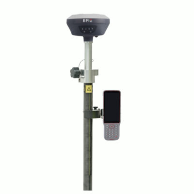
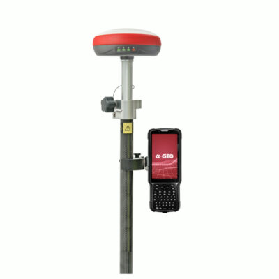
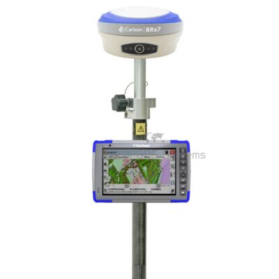
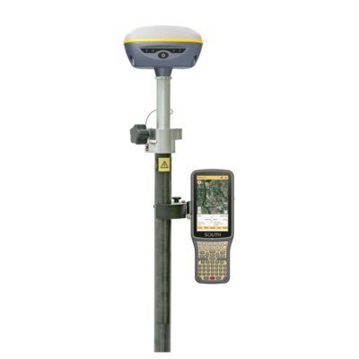
some popular gps rover sets
GPS & GNSS