

GNSS
RTK GPS: Understanding Real-Time Kinematic GPS Technology
Real-time kinematic (RTK) GPS is a powerful technology that is used to provide highly accurate positioning and navigation data. This technology is used in a wide range of applications, from surveying and mapping to agriculture and construction. In this article, we will explore the basics of RTK GPS technology, including how it works, its key features, and some of the ways it is being used today.
What is RTK GPS?
Real-time kinematic GPS is a type of GPS technology that uses a combination of GPS signals and a local base station to provide highly accurate positioning data. Unlike traditional GPS systems, which rely on data from satellites alone, RTK GPS systems use additional data from a nearby base station to improve the accuracy of the GPS data. This can provide positioning data that is accurate to within centimeters, making it ideal for a wide range of applications. Traditional GPS accuracy is typically between 3 and 10 meters. That may be acceptable for car navigation or smartphone applications, but it is not nearly accurate enough for surveying, machine control, precision farming, or drone mapping. RTK GPS bridges this gap by providing reliable centimeter-level measurements that professionals can trust.
How Does RTK GPS Work?
RTK (Real-Time Kinematic) GPS improves standard GNSS positioning by combining satellite signals with real-time correction data. Instead of relying only on satellite calculations, an RTK system uses a fixed reference point to identify and correct positioning errors, allowing the rover receiver to achieve centimeter-level accuracy in real time.
An RTK system typically consists of two main components: a base station and a rover receiver. The base station is installed at a precisely known location. Because its exact coordinates are already established, it can compare its known position with the position calculated from incoming GNSS satellite signals. Any difference between these positions represents errors caused by atmospheric conditions, satellite clock inaccuracies, orbital deviations, and signal interference.
The base station continuously calculates these errors and sends correction data to the rover receiver through a radio link, mobile internet connection, or an NTRIP correction service. The rover simultaneously receives both the satellite signals and the correction data. By applying the corrections instantly, the rover can determine its exact position with very high precision.
Modern RTK systems use multiple satellite constellations, including GPS, GLONASS, Galileo, and BeiDou, to improve satellite coverage and reliability. Multi-frequency GNSS receivers further enhance performance by reducing initialization times, improving signal stability, and maintaining accuracy even in challenging environments.
Unlike traditional GPS methods that may require post-processing after data collection, RTK applies corrections in real time. This allows surveyors, construction professionals, machine control operators, and mapping specialists to work immediately with highly accurate positioning data in the field.
Why is RTK GPS so accurate?
RTK GPS achieves centimeter-level accuracy by correcting the errors that affect standard GNSS positioning. Normal GPS signals are influenced by atmospheric interference, satellite orbit inaccuracies, clock timing errors, and signal reflections from nearby objects. These issues can reduce standard GPS accuracy to several meters.
RTK systems solve this problem by using a base station at a known fixed location. Because the base station already knows its exact position, it can detect errors in the satellite signals it receives and send correction data to the rover receiver in real time. The rover applies these corrections instantly to calculate a much more precise position.
A major advantage of RTK is its use of carrier-phase measurements instead of relying only on standard code-based positioning. Carrier-phase tracking measures the actual radio wave transmitted by GNSS satellites, allowing the system to detect very small distance changes with extreme precision.
Modern RTK receivers also use multiple satellite constellations such as GPS, GLONASS, Galileo, and BeiDou, along with multi-frequency GNSS signals. This improves satellite availability, increases reliability, and reduces initialization times.
The result is fast, stable, and highly accurate positioning that is essential for applications such as surveying, construction, machine control, precision agriculture, and drone mapping.
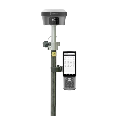
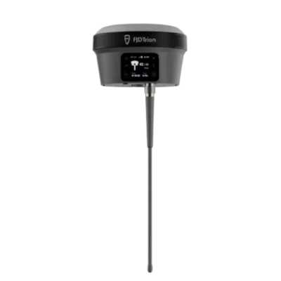
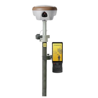
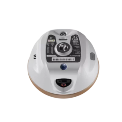
some popular rtk gps systems
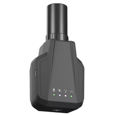
Handheld GPS
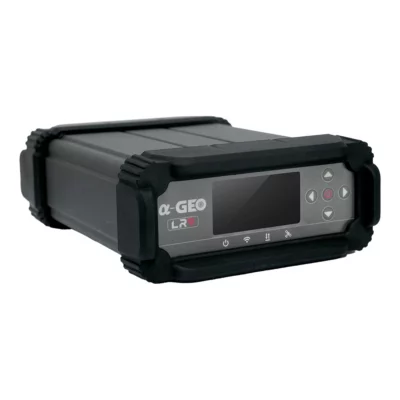
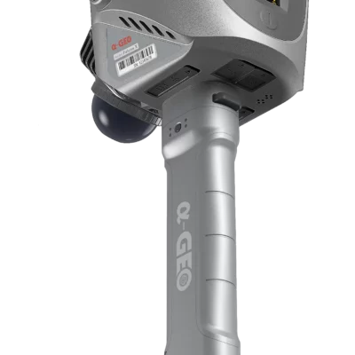
GPS & GNSS
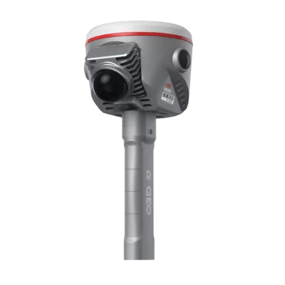
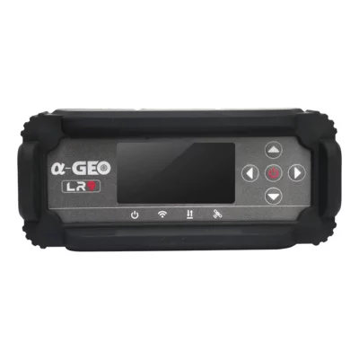
GPS & GNSS


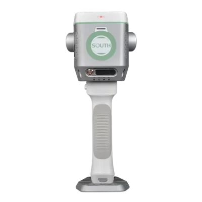


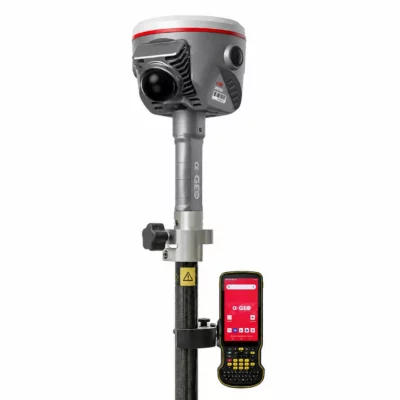
GPS & GNSS


GPS & GNSS
Network RTK and NTRIP Services
Many modern RTK systems no longer require users to install and manage their own physical base station. Instead, they connect to permanent RTK correction networks through the internet using NTRIP services. NTRIP, which stands for Networked Transport of RTCM via Internet Protocol, allows GNSS receivers to receive real-time correction data over mobile internet or wireless connections.
Network RTK systems use multiple continuously operating reference stations distributed across a region or country. These stations constantly monitor GNSS satellite signals and generate correction data that is delivered to rover receivers in real time. Because the network combines data from several reference stations, it can provide highly accurate corrections over much larger areas than a single local base station.
This approach makes RTK GPS much easier and more accessible for surveyors, construction professionals, farmers, and drone operators. Users no longer need to transport, configure, or maintain their own base station in the field. In many countries, nationwide RTK correction networks are available through subscription-based services, allowing users to achieve centimeter-level positioning almost anywhere with mobile internet coverage.
Limitations of RTK GPS
Although RTK GPS provides extremely accurate positioning, its performance depends on several environmental and technical factors. One of the biggest requirements is clear satellite visibility. Dense forests, tall buildings, tunnels, mountains, or other obstructions can block GNSS signals and reduce positioning quality.
RTK systems also rely on a stable communication link between the rover receiver and the correction source. When using NTRIP services, poor mobile internet coverage can interrupt correction data, especially in remote or rural areas. If correction signals are lost, the receiver may temporarily fall back to lower-accuracy positioning modes.
Distance from the base station also affects accuracy. In traditional single-base RTK systems, performance is usually best within 10 to 20 kilometers of the base station. As the distance increases, atmospheric differences between the base and rover become larger, reducing correction accuracy.
Despite these limitations, modern multi-frequency GNSS receivers, improved antennas, and advanced RTK correction networks have greatly increased reliability and performance in challenging environments.
The Future of RTK GPS Technology
RTK GPS technology continues to evolve rapidly as GNSS infrastructure improves worldwide. Modern receivers are becoming faster, more reliable, and more affordable, making high-precision positioning accessible to more industries than ever before.
The growing demand for automation is driving RTK adoption in construction, agriculture, robotics, surveying, and drone operations. Manufacturers are increasingly integrating RTK technology into machine control systems, autonomous vehicles, smart farming equipment, and commercial drone platforms.
At the same time, global correction networks are expanding, improving coverage and making centimeter-level positioning available in more locations. Multi-constellation GNSS support, multi-frequency tracking, and advanced positioning algorithms are further increasing accuracy, stability, and initialization speed.
As these technologies continue to develop, RTK GPS is expected to play a major role in the future of autonomous systems, smart infrastructure, and real-time geospatial applications.

Applications of RTK GPS
RTK GPS technology is used in a wide range of applications, from surveying and mapping to agriculture and construction. Some of the most common applications include:
-
Surveying and mapping: RTK GPS is widely used in surveying and mapping applications because of its high accuracy and real-time capabilities. It is often used to create detailed maps of land, buildings, and other structures, as well as for land surveying and engineering projects.
-
Agriculture: RTK GPS is also used in agriculture, particularly for precision farming. It can be used to accurately map fields, measure crop yields, and guide tractors and other equipment. This allows farmers to optimize their crop yields and reduce costs by using less fertilizer and other inputs.
-
Construction: RTK GPS is used in construction projects to ensure that buildings and other structures are built to precise specifications. It is often used to guide heavy machinery, such as excavators and bulldozers, as well as for site surveys and building inspections.
-
Autonomous vehicles: RTK GPS is used in autonomous vehicles, such as drones and self-driving cars, to provide real-time navigation data. This allows these vehicles to navigate accurately and safely, even in challenging environments.
-
Search and rescue: RTK GPS is also used in search and rescue operations, particularly for tracking and locating people in wilderness or other difficult-to-navigate environments.
Conclusion
Real-time kinematic (RTK) GPS is a powerful technology that is used to provide highly accurate positioning and navigation data. It is used in a wide range of applications, from surveying and mapping to agriculture and construction. By using a local base station in addition to satellite signals, RTK GPS systems can correct for any errors that may be present in the GPS data, providing positioning data that is accurate to within centimeters. Additionally, the system offers real-time data, long battery life, robustness, and low cost. With the increasing demand for high-accuracy navigation, RTK GPS technology is sure to play an important role in many industries in the future.
However, it’s worth noting that RTK GPS systems are not without their limitations. For example, they rely on a clear line of sight between the mobile unit and the base station, which can be disrupted by tall buildings or other obstacles. They also require a steady data connection between the mobile unit and the base station, which can be affected by poor cellular coverage or other network issues. Additionally, RTK GPS systems can be more expensive than traditional GPS systems, which can be a barrier for some users.
Despite these limitations, RTK GPS technology is a powerful tool that can be used to achieve high-accuracy positioning and navigation data. With its ability to provide real-time data, long battery life, robustness, and low cost, it is an ideal solution for many industries. As the technology continues to evolve, we can expect to see even more applications for RTK GPS in the future. From self-driving cars to precision farming and many other industries, the potential of RTK GPS technology is limitless.
In conclusion, RTK GPS technology is a powerful tool that can be used to achieve highly accurate positioning and navigation data. With its ability to provide real-time data, long battery life, robustness, and low cost, it is an ideal solution for many industries. As the technology continues to evolve, we can expect to see even more applications for RTK GPS in the future. It’s important to note that RTK GPS systems are not without their limitations, but with the increasing demand for high-accuracy navigation, RTK GPS technology is sure to play an important role in many industries in the future.
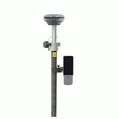
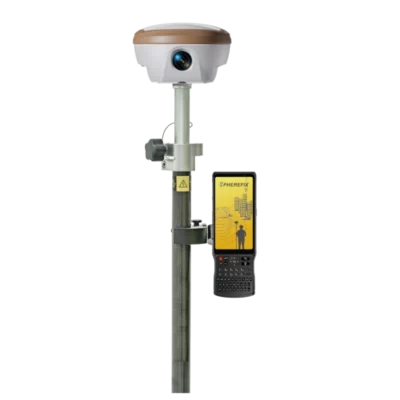
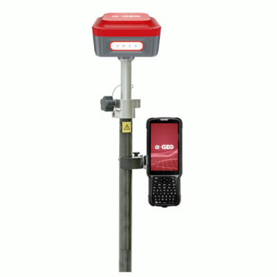
some popular rtk gps rover sets


GPS & GNSS
GPS & GNSS

GPS & GNSS

GPS Rover Sets

GPS & GNSS
GPS & GNSS