GNSS
GNSS Timing and Atmospheric interferences: How GNSS is Solving These Problems
Global Navigation Satellite Systems (GNSS) have become an essential part of our daily lives, from providing location-based services on our smartphones to guiding autonomous vehicles and synchronizing critical infrastructure. However, as we rely more heavily on GNSS, it becomes increasingly important to understand and mitigate the sources of error that can affect the accuracy and reliability of the signals. In this article, we will explore the various types of errors that can occur in GNSS timing and the ways in which GNSS is working to solve these problems.
Understanding GNSS Timing Errors
GNSS timing errors can be broadly classified into two categories: those that affect the user’s receiver and those that affect the satellite’s clock. Receiver-related errors include multipath, atmospheric effects, and interference, while satellite-related errors include clock drift and ephemeris errors.
Receiver-related Errors
One of the most common receiver-related errors is multipath, which occurs when the GNSS signal is reflected off of buildings, mountains, or other objects before reaching the receiver. This can cause the signal to arrive at the receiver at slightly different times, resulting in a timing error. To mitigate multipath errors, receivers use advanced signal processing techniques such as filtering, correlation, and phase tracking.
Another type of receiver-related error is caused by the Earth’s atmosphere, which can delay or distort the GNSS signal as it passes through the ionosphere and troposphere. These errors can be corrected using techniques such as ionosphere and troposphere modeling and real-time data from meteorological sources.
Interference from other sources, such as radio frequency interference (RFI) from other electronic devices, can also cause timing errors. To mitigate these errors, receivers use techniques such as filtering, correlation, and signal power measurement.
Satellite-related Errors
Satellite-related errors are caused by inaccuracies in the satellite’s clock and the satellite’s ephemeris (the satellite’s position and velocity). Clock drift occurs when the satellite’s atomic clock is not perfectly accurate, which can result in timing errors. To mitigate clock drift errors, GNSS systems use multiple satellites and advanced algorithms to determine the most accurate clock.
Ephemeris errors occur when there are inaccuracies in the satellite’s position and velocity, which can result in timing errors. To mitigate ephemeris errors, GNSS systems use advanced algorithms to correct for these inaccuracies and use multiple satellites to determine the most accurate ephemeris.
Solving GNSS Timing Errors
To solve GNSS timing errors, GNSS systems use advanced algorithms, multiple satellites, and real-time data from other sources. One of the most promising ways to solve GNSS timing errors is through the use of multiple GNSS constellations. This involves using signals from different GNSS systems, such as GPS, GLONASS, Galileo, and BeiDou, to provide more accurate and reliable positioning and timing.
Another way to solve GNSS timing errors is through the use of real-time data from other sources, such as meteorological data for atmospheric corrections or RFI data for interference corrections. This data can be used to improve the accuracy of GNSS positioning and timing in real-time.
Finally, GNSS systems can also use advanced algorithms to improve the accuracy of the signals and correct for errors. These algorithms include Kalman filtering, least-squares estimation, and Bayesian estimation.
Understanding and Mitigating Atmospheric Interference in GNSS
Atmospheric interference is one of the most significant sources of error in Global Navigation Satellite Systems (GNSS) positioning and timing. The Earth’s atmosphere can delay or distort the GNSS signal as it passes through the ionosphere and troposphere, resulting in errors in the positioning and timing information received by the user’s receiver. In this article, we will explore the different types of atmospheric interference that can occur in GNSS and the ways in which GNSS systems are working to mitigate these errors.
Types of Atmospheric Interference
There are two main types of atmospheric interference that can affect GNSS signals: ionospheric and tropospheric interference.
Ionospheric Interference
Ionospheric interference occurs when the GNSS signal passes through the ionosphere, a layer of charged particles in the Earth’s upper atmosphere. The ionosphere can delay the GNSS signal, causing a timing error, or it can scatter the signal, causing a positioning error. These errors can be particularly severe at high latitudes and during solar flares.
Tropospheric Interference
Tropospheric interference occurs when the GNSS signal passes through the troposphere, the layer of the Earth’s atmosphere closest to the surface. The troposphere can cause a delay in the GNSS signal, resulting in a timing error. This type of interference is particularly prevalent in areas with high humidity, such as near coastlines, and during adverse weather conditions, such as heavy rain or snow.
Mitigating Atmospheric Interference
To mitigate atmospheric interference, GNSS systems use a variety of techniques, including ionosphere and troposphere modeling, real-time data from meteorological sources, and advanced signal processing.
Ionosphere and Troposphere Modeling
Ionosphere and troposphere modeling involves using mathematical models to predict the delay caused by the ionosphere and troposphere. These models take into account factors such as the time of day, the location, and the solar activity. By using these models, GNSS systems can correct for the delay caused by the atmosphere and improve the accuracy of the positioning and timing information.
Real-Time Data from Meteorological Sources
Real-time data from meteorological sources, such as weather radar, can also be used to correct for atmospheric interference. This data can be used to improve the accuracy of the ionosphere and troposphere models in real-time.
Advanced Signal Processing
Advanced signal processing techniques, such as Kalman filtering and least-squares estimation, can also be used to correct for atmospheric interference. These techniques involve analyzing the GNSS signal in real-time and using mathematical algorithms to correct for the errors caused by the atmosphere.
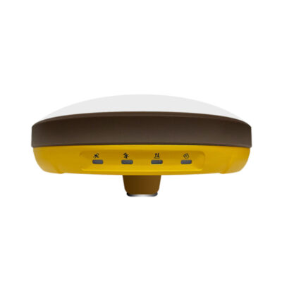
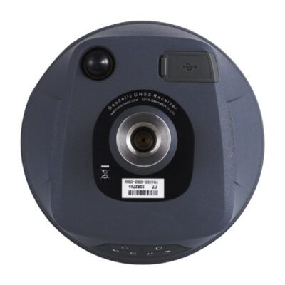
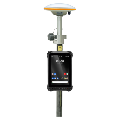
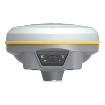
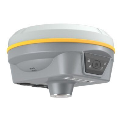
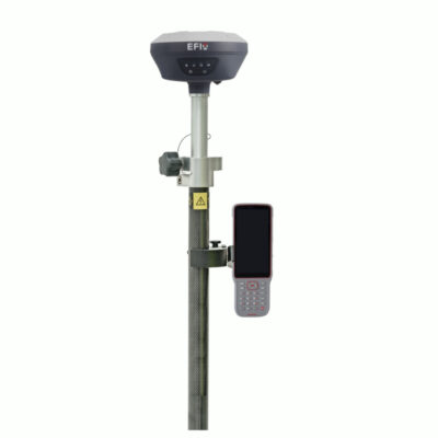
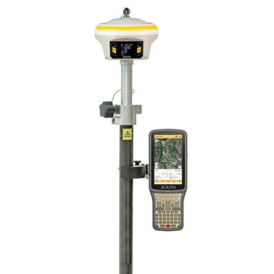
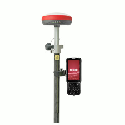
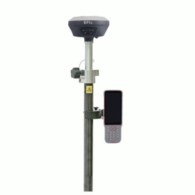
some popular gnss rover sets
Conclusion
Atmospheric interference is a significant source of error in GNSS positioning and timing, but GNSS systems are working to mitigate these errors through the use of ionosphere and troposphere modeling, real-time data from meteorological sources, and advanced signal processing. By understanding and mitigating atmospheric interference, GNSS systems can provide more accurate and reliable positioning and timing information. As technology continues to advance, GNSS systems will become even more robust and able to handle a wider range of atmospheric errors.
GNSS timing errors can have a significant impact on the accuracy and reliability of GNSS signals, but there are a number of ways in which GNSS systems are working to solve these problems.
By using multiple GNSS constellations, real-time data from other sources, and advanced algorithms, GNSS systems can improve the accuracy and reliability of their signals.
As technology continues to advance, GNSS systems will become even more robust and able to handle a wider range of errors. For example, new techniques such as using multiple frequencies, multiple signal processing and advanced modulation schemes, will help to mitigate errors caused by the atmosphere and interference.
Additionally, the development of new satellite technologies, such as the use of atomic clocks, will greatly improve the accuracy of GNSS timing. The use of hydrogen maser clocks, which are even more accurate than atomic clocks, is already being tested in some GNSS systems.
Despite these advancements, GNSS timing errors will still be present to some extent, it is important for users to understand the potential sources of error and take appropriate measures to mitigate them. This includes selecting the right receiver, using advanced signal processing techniques, and using real-time data from other sources.
In conclusion, GNSS timing errors are a complex and multifaceted problem, but with the use of advanced technologies, multiple GNSS constellations and real-time data from other sources, GNSS systems are working to solve these errors and provide more accurate and reliable signals. The future of GNSS is bright and it will continue to play an important role in our daily lives and critical infrastructure.


