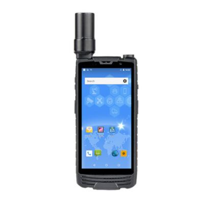
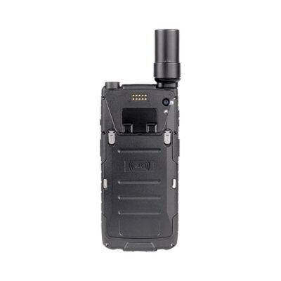
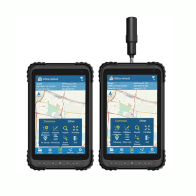
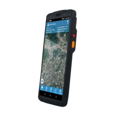
Handheld GPS
Handheld GNSS receivers are used for GIS and Mapping applications when decimeter accuracy is required. Mostly used for archeological or geographical purposes like mapping the location of trees, vegetation, and other natural recourses. It is also useful when the relative position of infrastructure assets like street lights and park benches is needed. The data is collected with your surveying and mapping software which is installed on your device itself. You can then export this data for example with .CSV .DXF or .SHP files into an asset management system like GeolinQ or ArcGIS. The data you’ve collected needs to be managed or stored somewhere so when selecting the data collection software make sure that the files you export are compatible with your current asset management system. The same counts for the actual coordinates. There are tools where you can translate coordinates from one system to another. For example from WGS84 to RDNAP 2018 for The Netherlands. Easiest however is when your software allows this right from the start so no transformation in needed afterwards.