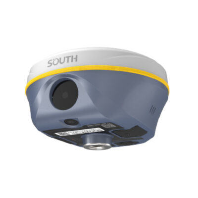
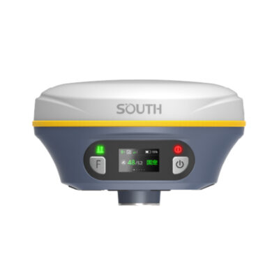
Survey grade RTK GNSS Receivers
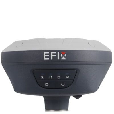
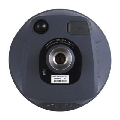
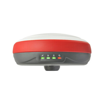
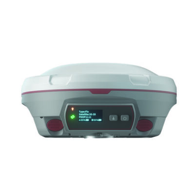
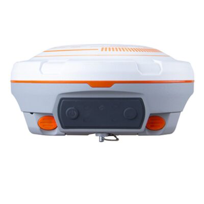
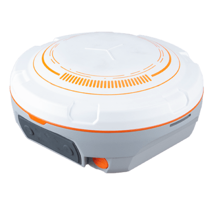
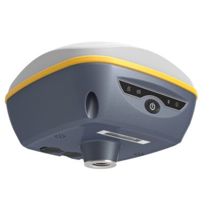
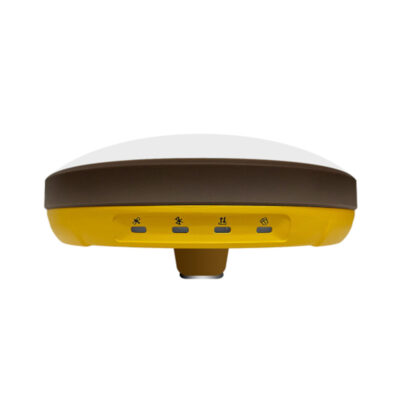
More commonly known as RTK GPS Receivers, these GNSS antenna’s are used for Land surveying applications, as well as GIS and Mapping survey since they can achieve high accuracy. Generally speaking GNSS RTK is around 1 – 2 centimeter accurate. When it comes to determining the location of pipes, cables, infrastructure, roads, buildings and other objects while doing GPS survey, these GNSS receivers are the way to go. A GNSS RTK antenna often go combined with GPS SURVEYING SOFTWARE to collect points or stakeout your digital terrain models (DTM) indoor local coordinate system. You can then export or import your data in for example .DXF .SHP . TXT or .CSV files. The two most common setups surveyors go for are the GPS rover sets and rover base GPS.
CUSTOMER REVIEWS
Global GPS Systems
4.76 store rating (533 reviews) | 4.66 product rating
RTK GNSS Receiver Systems
Highly technical RTK GNSS equipment is the most popular choice for any land surveyor seeking the greatest level of accuracy. The category features robust models including the
Carlson BRx7 that are particularly suited to working in the most hostile environments. A GNSS receiver works in conjunction with a GPS system, but delivers a superior accuracy of ten millimetres.
What GNSS Systems are Used for
GNSS RTK systems are perfect for all types of GPS mapping surveys as they can analyse the area's infrastructure in minute detail. They are valuable tools for land surveyors when identifying the position of cables, pipes, buildings and any other infrastructure. RTK GNSS can also be used for mapping the natural landscape accurately for geographical surveys or the preparation of land when planning roads or buildings.
Why RTK GNSS Systems are Superior
An RTK (Real-Time Kinematic) GNSS antenna enhances the signal results from a GPS receiver. It uses a reading from a fixed base station to make real-time corrections that are transmitted wirelessly to a moving receiver. By using signals from multiple satellites such as Galileo GPS Galileo and BeiDou, it constantly adjusts the accuracy of the GPS antenna to one centimetre ensuring a faultless performance every time.
Recommended RTK GNSS Antenna for any Land Surveyor
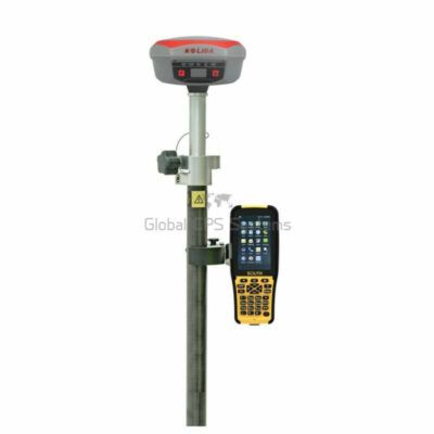
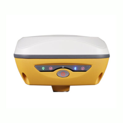
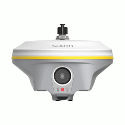
The Topcon HiPer VR is a high-performance GNSS RTK model that is compact and lightweight. Its robust, waterproof casing is built to withstand the most gruelling conditions a land surveyor might encounter. It contains an advanced, state of the art GNSS chipset. This versatile feature has the ability to track any satellite signal, even those that are not yet available. The Kolida K5 IMU GNSS antenna offers a versatile RTK GNSS solution when working in crowded urban areas. It has an inbuilt SDL400 radio that can send signals through obstructions such as vehicles up to a distance of seven kilometres. It's even compatible with several rovers at the same time. Other brands with high-performance capabilities include E-Survey, Emlid, South and Stonex.
The Price of a GNSS Receiver Explained
A GNSS receiver is usually more expensive than a comparable antenna with only a GPS structure. It's a sophisticated GNSS system that contains advanced technology for linking to multiple satellites, has a greater capacity for determining pathways through crowded environments and can calculate sub-meter positions. For an even more enhanced performance, choose surveying equipment with RTK GNSS capability that includes active, real-time corrections with pinpoint accuracy. It will receive the latest RTCM correction data from your local RTK network to calculate its centimetre accurate position. Connect your GNSS antenna to your data collector with GPS surveying software and start the import and export of your DTM (Digital Terrain Models) in files like .SHP, .DXF and .CSV files.
Which GNSS Systems should I Use as a Land Surveyor?
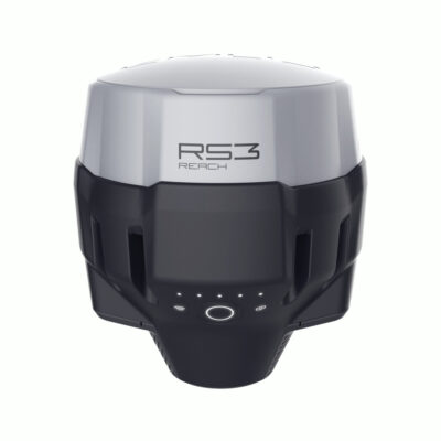
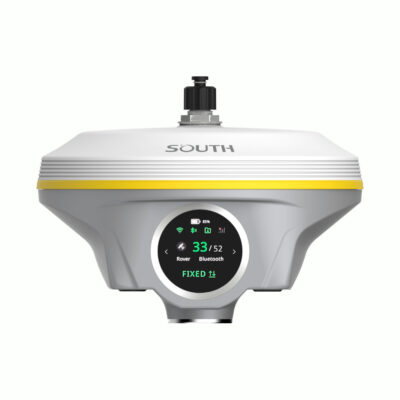
It's unusual to find an RTK GNSS antenna for less than €2,000, but the Emlid Reach RS2 is an ideal piece of equipment in this price range. It has excellent capabilities and tracks all the major satellite constellations including SBAS and QZSS. Its radio frequency is 868-915 MHz and its positional output includes NMEA and LLH/XYZ. It's accurate to within one centimetre, but it doesn't include a tilt sensor. In a price category of up to £4,000, there are several GNSS RTK models including the South Galaxy G1 PLUS which includes the advanced Trimble Everest Multipath-Rejection Technology. It's designed to improve stability by enhancing signals from low quality satellites. In the premium price range of up to €10,000 choose a Carlson such as the BRx7. It has a superior Athena GNSS engine and includes more than 800 channels. It's also equipped with SureFix technology that enables surveyors to work with the highest precision even when beneath overhanging canopies or connecting with low signal satellites.
Do I need a GNSS Rover or a GPS Rover and Base Station?
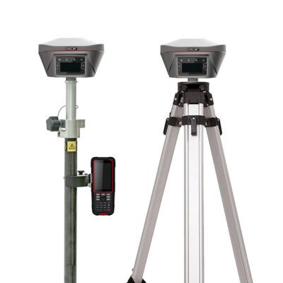
A GPS rover and base station setup is used primarily when there is no active Continuously Operating Reference Station (CORS) or VRS RTK network available. In this situation the GPS base will act as a local GNSS reference station. This will be placed in a fixed position so it can then provide RTCM correction data to any of the GNSS rovers nearby via the build-in UHF radio. Wether you will need just the GNSS rover all depends on the availability of an RTK network in your region. You can look on the
RTK FIX website to check if your country has Virtual reference station (VRS) RTK coverage. If you need to work quickly and accurately, particularly in busy or hazardous locations, it could be more worthwhile going for the GNSS rover with RTK network setup as setting up your own GPS base will take time.


