

Geosun GS-2000N
This product is Available
Contact our experts for the best possible price and configuration.
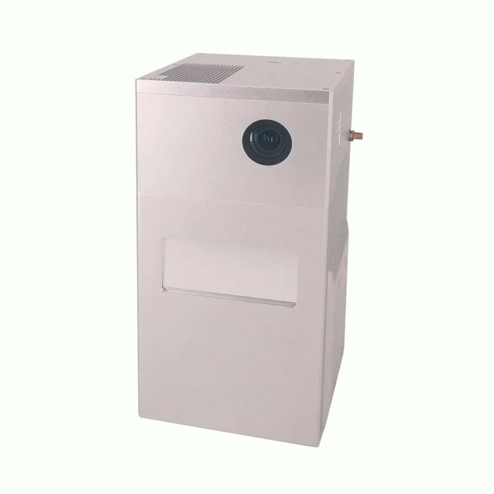
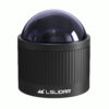
The GS-2000N LiDAR scanning system stands as an independently developed UAV/vehicle measurement solution by Geosun company. This system seamlessly integrates a laser scanner, GNSS satellite positioning system, INS inertial navigation system, and a full-frame camera, enabling the rapid acquisition of high-precision laser point cloud data. Its versatile applications span across digital city construction, industrial settings, land surveying, forestry, and agriculture.
Valued customers:


Find RTK Networks
Search NTRIP providers and connect to reliable RTK correction services.
Description
The gAirHawk GS-2000N UAV LiDAR Scanning System is a compact and long-range solution for acquiring LiDAR point cloud data. It integrates the FT-1500H long-range laser scanner, GNSS and IMU positioning, attitude determination system, and a storage control unit. This system excels in real-time, dynamic, and extensive collection of high-precision point cloud data and detailed image information. Its applications are diverse, ranging from surveying, electricity, forestry, agriculture, to land planning, facilitating the acquisition of 3D spatial information.
Applications
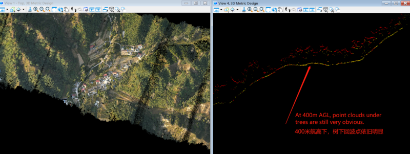
Forestry:
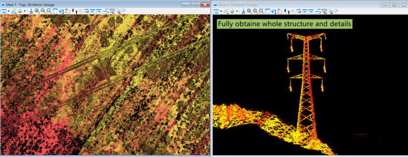
Power Line Patrol
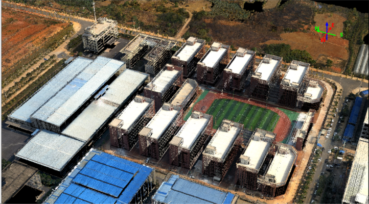
Topographic
Datasheets & Manuals
Datasheets and manuals
Datasheet
Reviews (0)
Only logged in customers who have purchased this product may leave a review.
Reviews
There are no reviews yet