


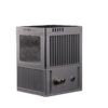
Geosun GS-100C series
Login to view pricing or to request a quote
Log in

Worldwide Shipping From The Netherlands
100% Shipping Insurance on Damage and Loss
Experts in Import / Export / Tax and Duties
Premium Support from Product Experts
Buyers Protection and Warranty on all Products
Need Help? Call us!
+31 (0)35 205 7939
Geosun GS-100C series
Login to view pricing or to request a quote
Log in

Request Pricing
[ggs_product_ai_chat]
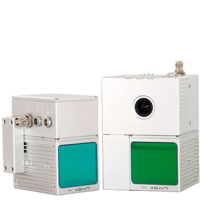
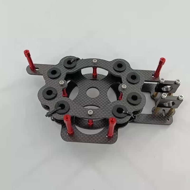
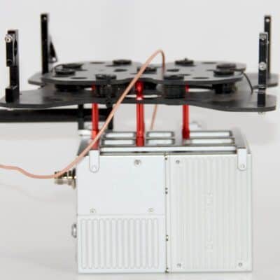
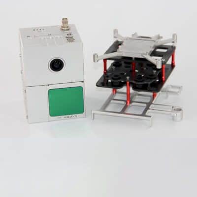
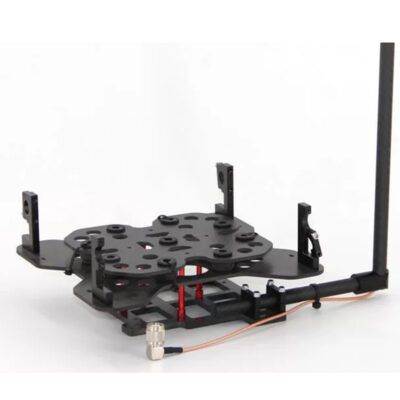
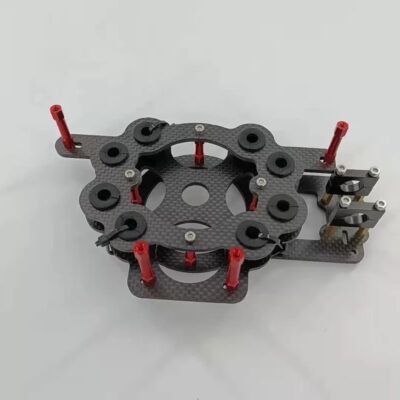
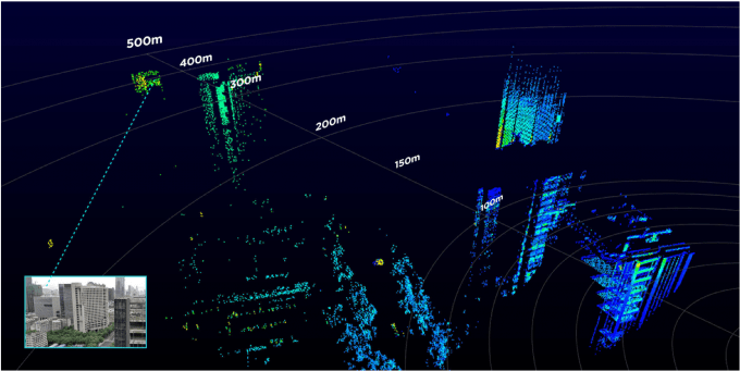
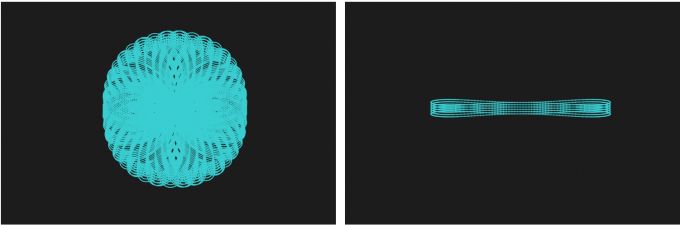
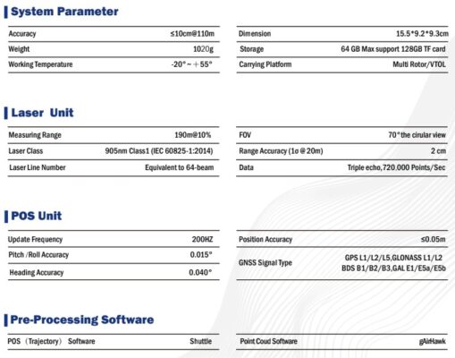
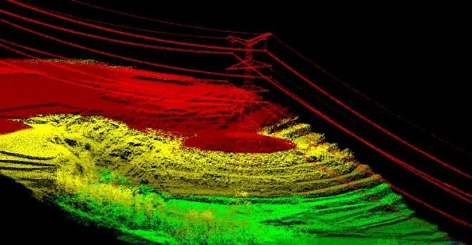
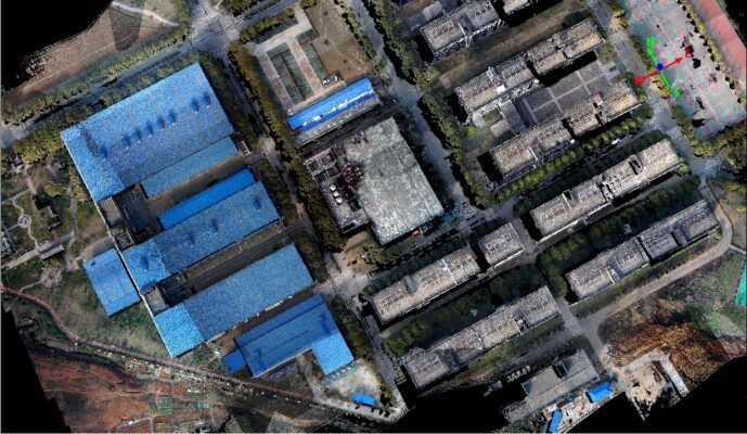
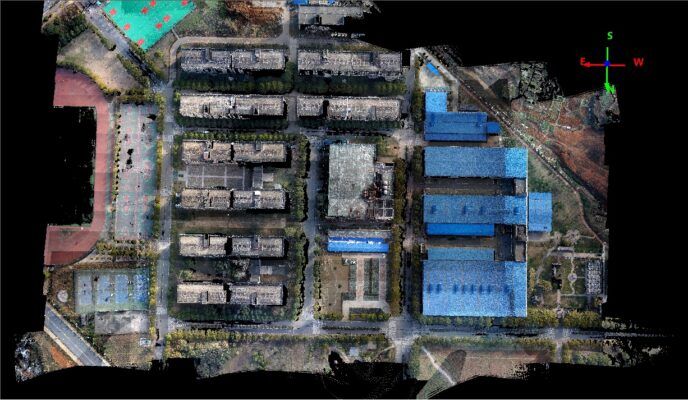
gAirHawk GS-100C is a kind of light compact LiDAR point cloud data acquisition system, integrated Livox new generation laser scanner, GNSS and IMU positioning and attitude determination system, and storage control unit, is able to real-time, dynamically, massively collect high-precision point cloud data and rich image information. It is widely used in the acquisition of 3D spatial information in surveying, electricity, forestry, agriculture, land planning.
Now available: The upgraded 100C+ version.
Geosun GS-100C+ Package Includes:
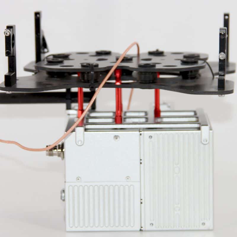
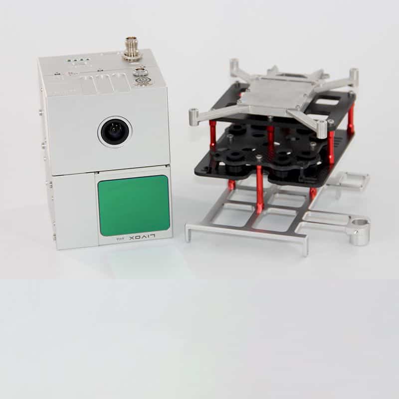
- 1x GS-100C UAV LiDAR scanning system (POS Unit & Livox Avia Laser )
- 1x Power Connection Cable
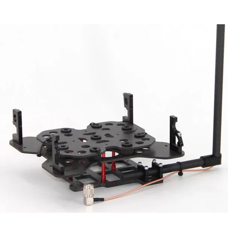
- 1x GNSS Aerial Antenna
- 1x GNSS Cable Connected LiDAR scanning system and Antenna
- 1x MICRO SD Card 128 GB
- 1x High precision GNSS positioning & orientation post-processing software (Shuttle software – Trajectory software)
- 1x LiDAR scanning system processing software (gAirhawk software – LAS output)
- 1x Carrying case
- 1x USB Drive
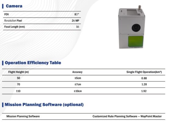
- 1x Build-in Camera with MP resolution & 83 degree FOV
Datasheets and manuals


RECOMMENDED ACCESSORIES:
Login to view pricing or to request a quote
Log in


Login to view pricing or to request a quote
Log in

Login to view pricing or to request a quote
Log in


Login to view pricing or to request a quote
Log in


Login to view pricing or to request a quote
Log in

Login to view pricing or to request a quote
Log in


Reviews
There are no reviews yet