Geosun GS-1500N
Login to view prices
Click here to login or register

Worldwide Shipping From The Netherlands

100% Shipping Insurance on Damage and Loss

Experts in Import / Export / Tax and Duties

Premium Support from Product Experts

Buyers Protection and Warranty on all Products
Need Help? Call us!
+31 (0)35 205 7939
Geosun GS-1500N
Login to view prices
Click here to login or register
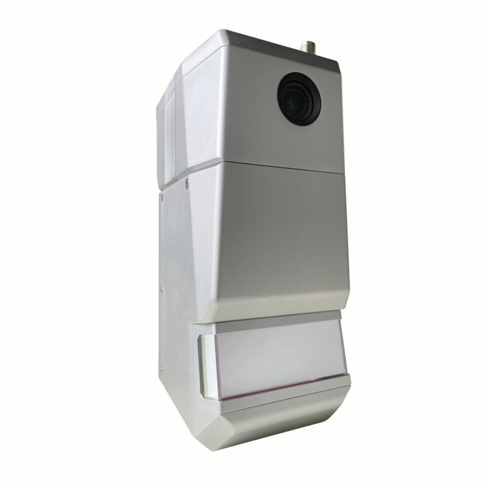
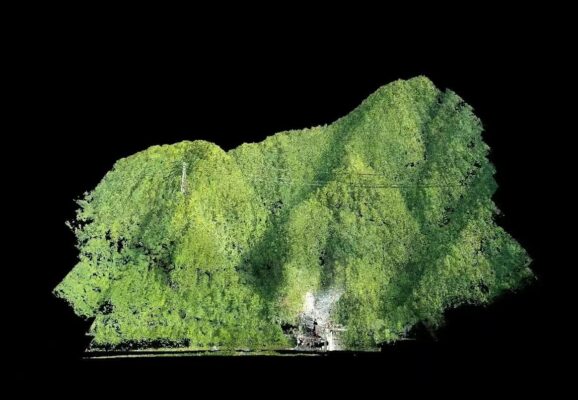
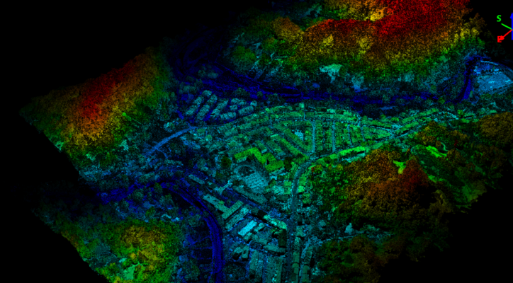
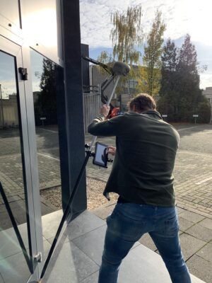
The GS-1500N LiDAR scanning system represents an autonomously developed UAV/vehicle measurement solution by Geosun company. This advanced system seamlessly incorporates a laser scanner, GNSS satellite positioning system, INS inertial navigation system, and a full-frame camera. With this integration, it enables the rapid acquisition of high-precision laser point cloud data. This versatile system finds applications across various domains, including digital city construction, industrial settings, land surveying, forestry, and agriculture.
Datasheets and manuals
Datasheet
RECOMMENDED DATA COLLECTORS:
Click here to login or register
Click here to login or register
Click here to login or register
Click here to login or register
Click here to login or register
RECOMMENDED SOFTWARE:
Click here to login or register
Click here to login or register
Click here to login or register
Click here to login or register
Click here to login or register
Click here to login or register
RECOMMENDED ACCESSORIES:
Click here to login or register
Click here to login or register
Click here to login or register
Click here to login or register
Click here to login or register
Click here to login or register












Reviews
There are no reviews yet.