


Geosun GS-260F
Login to view prices
Click here to login or register

Worldwide Shipping From The Netherlands
100% Shipping Insurance on Damage and Loss
Experts in Import / Export / Tax and Duties
Premium Support from Product Experts
Buyers Protection and Warranty on all Products
Global GPS Systems
What Our Clients Say
Need Help? Call us!
+31 (0)35 205 7939
Geosun GS-260F
Login to view prices
Click here to login or register
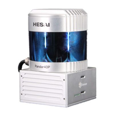
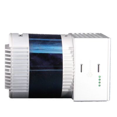
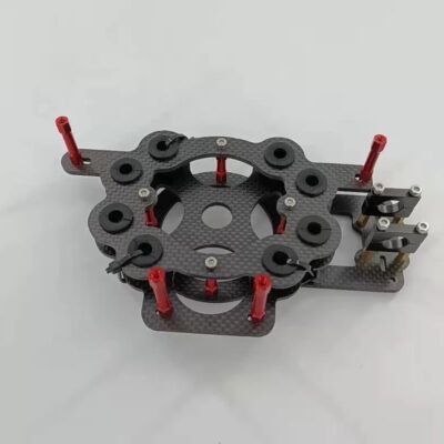
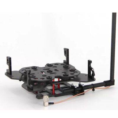
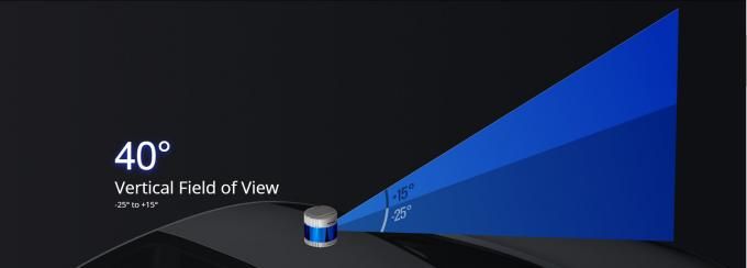
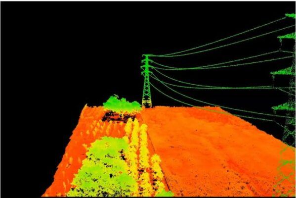
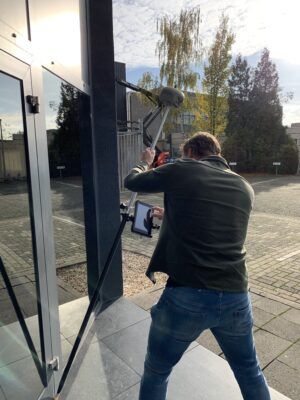
gAirHawk GS-260F is a kind of Mid-range, compact LiDAR point cloud data acquisition system, integrated HESAI Pandar 40P laser scanner, GNSS and IMU positioning and attitude determination system, and storage control unit, is able to real-time, dynamically, massively collect high-precision point cloud data and rich image information. It is widely used in the acquisition of 3D spatial information in surveying, electricity, forestry, agriculture, land planning.
Geosun GS-260F package includes:
- POS software
- Preprocessing point cloud software
- Laser sensor (pandar 40P)
Datasheets and manuals
Datasheet
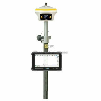
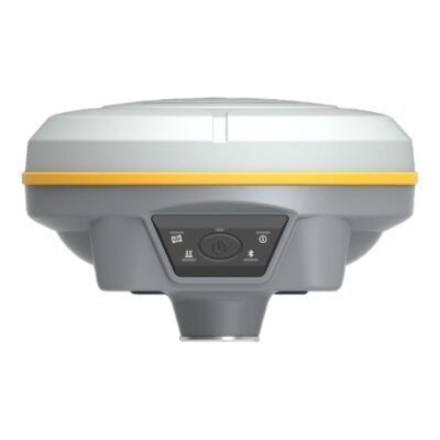
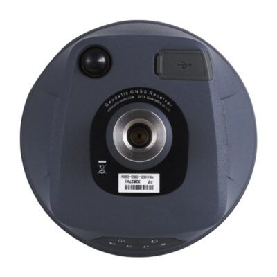
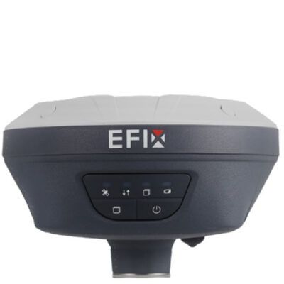
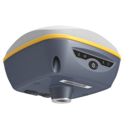
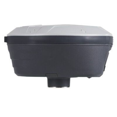
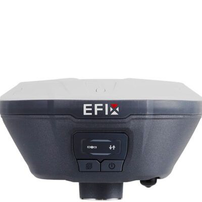
RECOMMENDED DATA COLLECTORS:


Login to view prices
Click here to login or register
Click here to login or register


Login to view prices
Click here to login or register
Click here to login or register


Login to view prices
Click here to login or register
Click here to login or register

Login to view prices
Click here to login or register
Click here to login or register

Login to view prices
Click here to login or register
Click here to login or register
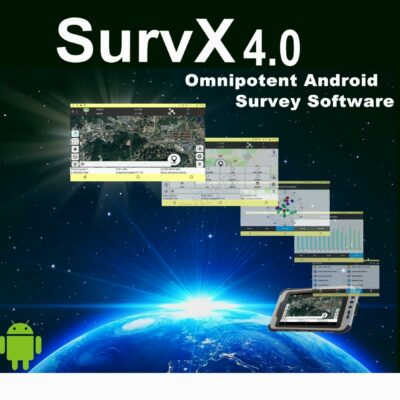
RECOMMENDED SOFTWARE:
Login to view prices
Click here to login or register
Click here to login or register
38%

Login to view prices
Click here to login or register
Click here to login or register
25%

Login to view prices
Click here to login or register
Click here to login or register

Login to view prices
Click here to login or register
Click here to login or register
Login to view prices
Click here to login or register
Click here to login or register

Login to view prices
Click here to login or register
Click here to login or register
RECOMMENDED ACCESSORIES:
Login to view prices
Click here to login or register
Click here to login or register


Login to view prices
Click here to login or register
Click here to login or register

Login to view prices
Click here to login or register
Click here to login or register


Login to view prices
Click here to login or register
Click here to login or register


Login to view prices
Click here to login or register
Click here to login or register

Login to view prices
Click here to login or register
Click here to login or register


Reviews
There are no reviews yet.