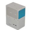
Geosun GS-300T

SKU: GS-300T Categories: ,
Brand:Geosun

Global GPS Systems
What Our Clients Say
4.76 store rating (533 reviews) | 4.66 product rating

Geosun GS-300T

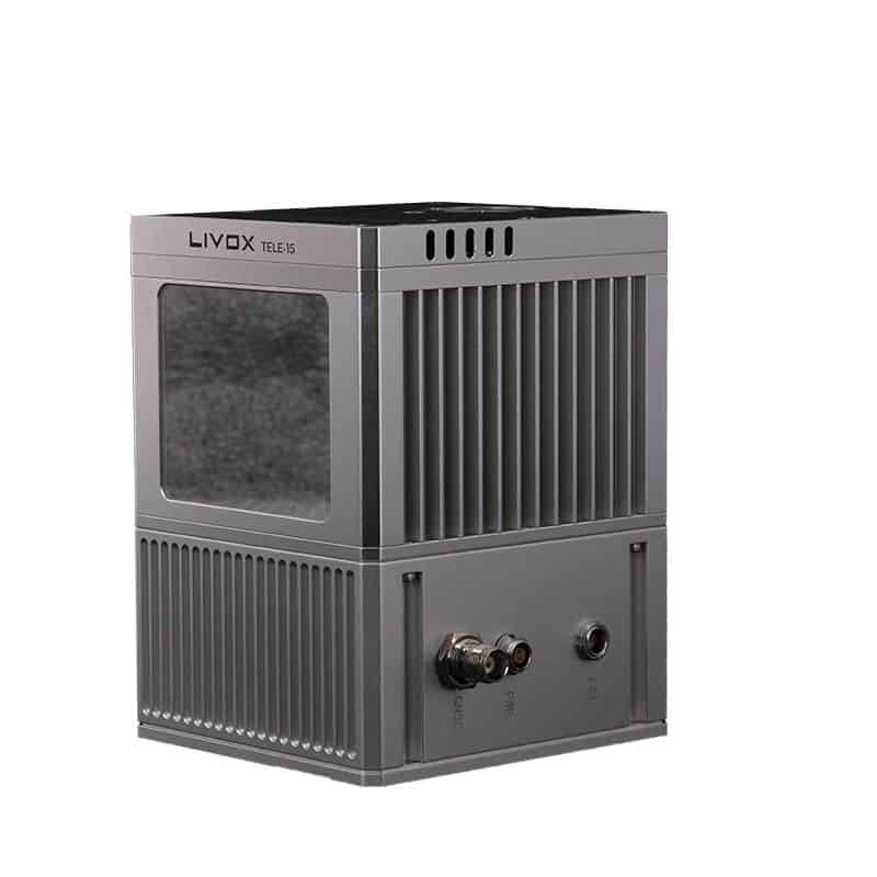
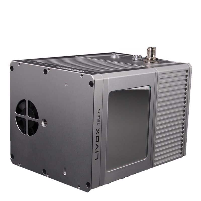
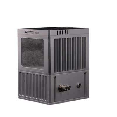
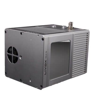
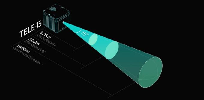
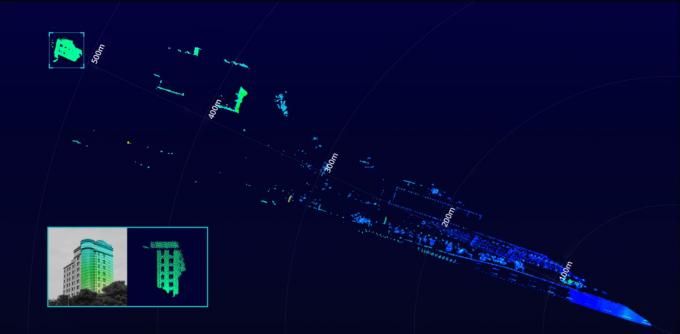
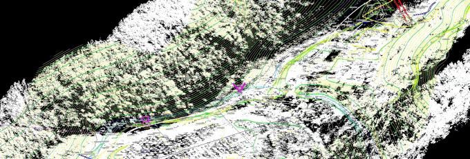
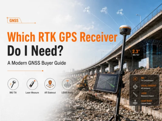
gAirHawk GS-300T is a kind of Mid-range, compact LiDAR point cloud data acquisition system, integrated Livox Tele-15 laser scanner, GNSS and IMU positioning and attitude determination system, and storage control unit, is able to real-time, dynamically, massively collect high-precision point cloud data and rich image information. It is widely used in the acquisition of 3D spatial information in surveying, electricity, forestry, agriculture, land planning.

Geosun GS-300T Package Includes:

  • POS software
  • Preprocessing point cloud software
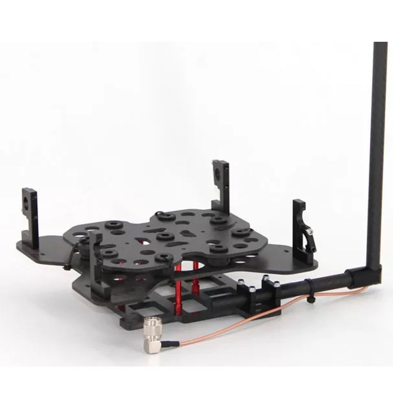
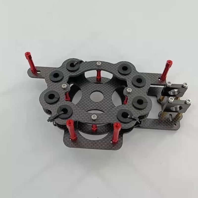
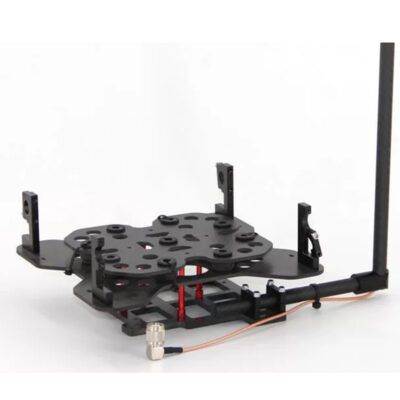
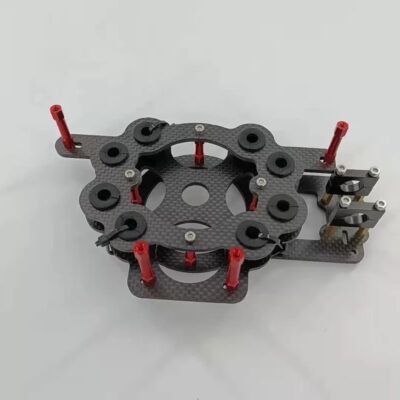
  • laser sensor (tele-15) mounted on VOTL Fixed wing drone

Datasheets and manuals

RECOMMENDED DATA COLLECTORS:

Login to view prices

Click here to login or register
Login to view prices

Click here to login or register
Login to view prices

Click here to login or register
Login to view prices

Click here to login or register

RECOMMENDED SOFTWARE:

Login to view prices

Click here to login or register
25%
Login to view prices

Click here to login or register
Login to view prices

Click here to login or register
Login to view prices

Click here to login or register

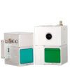
RECOMMENDED ACCESSORIES:

Login to view prices

Click here to login or register
Login to view prices

Click here to login or register
Login to view prices

Click here to login or register

Geosun GS-300T

SKU: GS-300T Categories: ,
Brand:Geosun

Global GPS Systems
What Our Clients Say
4.76 store rating (533 reviews) | 4.66 product rating

Description

Geosun GS-300T Product review

The Tele-15 uses a large-diameter double-aspheric lens and solves common defocusing facula problems in long focus optical design, offering a detection range of up to 500m. Even when target object reflectivity is as low as 10%, it can still reach a detection range of up to 320m. Tele-15 supports customized firmware to increase the detectable range limit to 1000 meters.

LONG RANGELONG RANGE

Geosun POS output from Shuttle Lidar Software


Specifications

gAirHawk GS-300T
Item Name System Parameters

GS-300T

Parameters

Weight 2.15 kg
Working temperature -20℃~55℃
Power range 12 V
Consumption 20 W
Carrier VTOL Fixed Wing drone
Storage 64 GB storage, maximum support 128GB TF card
OD 16 X 12.5 X 13.5 cm

Lidar Unit

Measuring Range 320m@10% Reflectivity, 500m@50% Reflectivity,
Laser class 905nm Class1 (IEC 60825-1:2014)
Laser line number 128 beam
Range Accuracy 2 cm
Pulse Frequency 240 KHz
Beam Divergence 0.02° * 0.12°
Data Rate Double echo 480,000 Points/Sec
FOV 14.5° * 16.2°
Laser sensor Livox Tele-15
POS Unit Update frequency 200HZ
Heading accuracy 0.017°
Pitch accuracy 0.005°
Rolling accuracy 0.005°
Position accuracy ≤0.05m
GNSS signal type GPSL1/L2 GLONASSL1/L2 BDS B1/B2a/B3
GNSS Motherboard OEM 719
IMU AGS 303
Pre-processing software POS software Output information: position, speed, attitude
Point cloud software Output point cloud data format: LAS format, custom TXT format


Application for Mapping & Survey

Application for Mapping & Survey

Specifications

Geosun GS-300T Specification

Weight 13 kg
Dimensions 60 × 50 × 25 cm
Reviews (0)

Reviews

There are no reviews yet.

Only logged in customers who have purchased this product may leave a review.

RTK GNSS With 60° tilt:

GPS receivers

South Galaxy G2

GPS receivers

South INNO7

RTK GNSS Receivers

Kolida K30

GPS receivers

Carlson BRX7

GPS receivers

Stonex S990A

42%

GPS receivers

Kolida K1 Pro

GPS receivers

South Galaxy G3

GPS receivers

EFIX F7

GPS receivers

South Galaxy G7

RTK GNSS With internet:

GPS receivers

South Galaxy G2

GPS receivers

South INNO7

RTK GNSS Receivers

Kolida K30

GPS receivers

Emlid Reach RS2+

GPS receivers

Tersus Oscar

GPS receivers

EFIX F4

GPS receivers

Carlson BRX7

GPS receivers

Stonex S990A

42%

GPS receivers

Kolida K1 Pro

Select your currency