


 GPS & GNSS
 Lidar scanning
 Total Station
Data collectors
Data collectors
Data collectors
Data collectors
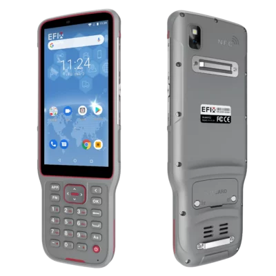
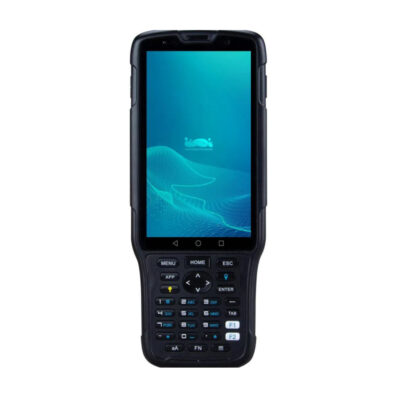
EFIX FC2 Data Collector for GNSS Surveying and Field Mapping
Data collectors

Data collectors

Data collectors


Data collectors

Data collectors
Data collectors
Data collectors
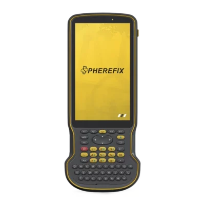
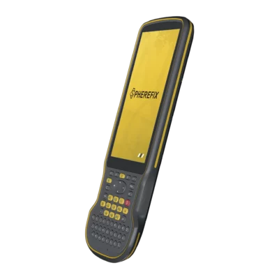
Data Collectors for GNSS Surveying and Fieldwork
A data collector is the working interface between the operator and professional surveying equipment. It allows you to control an RTK GNSS receiver or total station, view measurements, enter point information, perform stakeout and store project data while working in the field. Compared with a standard consumer smartphone or tablet, survey data collectors are designed around practical outdoor use, with rugged housings, field-oriented controls and connectivity for professional instruments.
Data collectors are commonly used by land surveyors, construction crews, GIS professionals and engineering teams. They are particularly useful when operating an RTK GNSS rover because the controller provides access to survey software, coordinate systems, NTRIP correction settings, point coding and stakeout functions from one portable device.
Controllers and rugged tablets
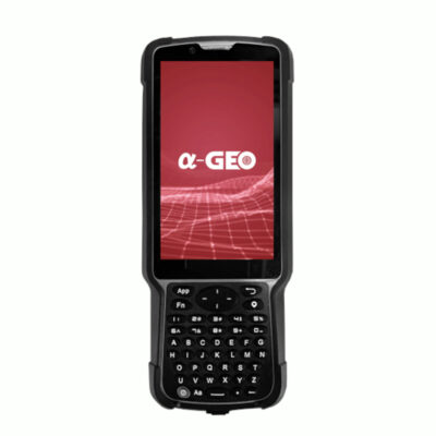
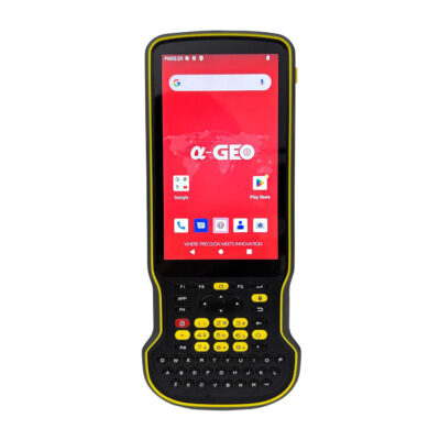
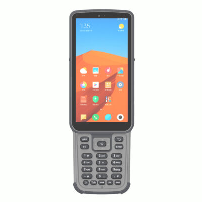
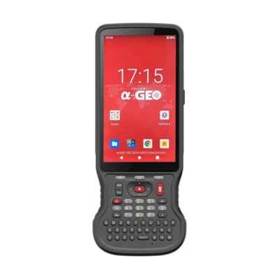
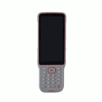
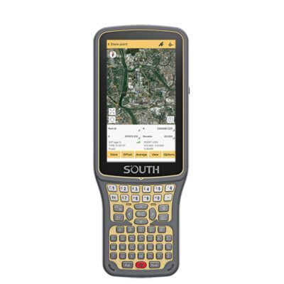
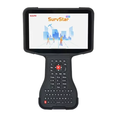
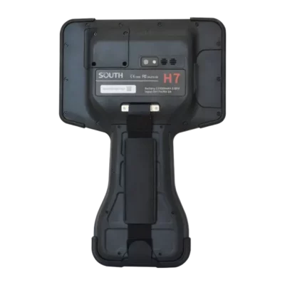
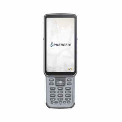
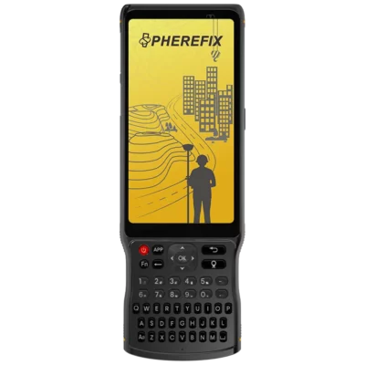
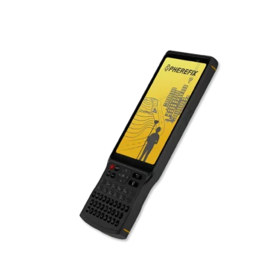
There are two main types of data collector: handheld survey controllers and rugged tablets. A traditional controller is compact enough to mount on a survey pole and is designed for one-handed field operation. Many models include physical buttons or a full keypad, which can be useful when entering point numbers and commands while wearing gloves or working in poor weather.
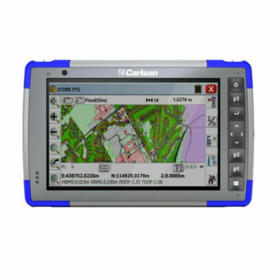
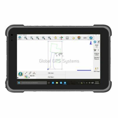
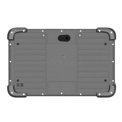
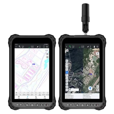
Rugged tablets provide a larger display and more screen space for maps, CAD drawings, imagery and detailed field software. They can be particularly practical for construction layout, GIS mapping and projects where the operator regularly works with graphical plans. The right format depends on whether portability and physical controls or a larger visual workspace are more important for your daily work.
Using a data collector with an RTK GNSS receiver
During an RTK survey, the data collector normally communicates with the GNSS receiver through Bluetooth, Wi-Fi or another supported connection. Survey software running on the controller displays the receiver status, satellite information, RTK solution and measured coordinates. The operator can then record points, add feature codes, create lines, import design coordinates or navigate towards a stakeout point.
For network RTK workflows, the controller can also provide the internet connection required for NTRIP corrections when supported by the hardware and software. Models with integrated 4G or other mobile connectivity are therefore useful for surveyors who regularly connect directly to correction networks in the field.
Data collectors for total stations
Many professional data collectors can also be used with compatible manual or robotic total stations. The field software determines which surveying functions and instruments are supported. With the correct combination, a single controller may be used for both GNSS and total station work, helping surveyors maintain the same point files, coding structure and project workflow across different measurement methods.
This can be particularly useful on construction and engineering projects where GNSS is used in open areas and a total station is used close to buildings, underneath structures or in other locations where satellite visibility is limited.
Important features when choosing a survey data collector
The best data collector is not simply the model with the largest display or highest hardware specification. It needs to work reliably with your receiver, field software and normal working conditions. Software compatibility should therefore be one of the first points you check.
- Operating system: choose a platform that supports the survey or GIS software you intend to use.
- Display size: compact screens are convenient on a survey pole, while larger displays make maps and drawings easier to work with.
- Physical controls: keyboards and programmable buttons can speed up repetitive field operations.
- Connectivity: Bluetooth, Wi-Fi and mobile data can be important for instrument communication and RTK correction services.
- Rugged construction: consider protection against dust, water, drops and the temperature conditions expected on site.
- Battery performance: a controller should comfortably support your normal working day without frequent charging.
Android survey data collectors
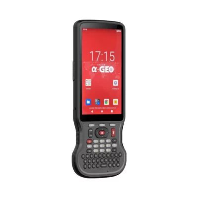
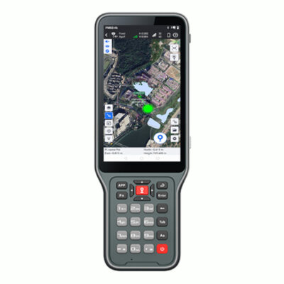
Android has become a common operating system for modern survey controllers. An Android data collector can provide a familiar touchscreen interface while still offering the rugged housing and specialised controls required for professional surveying. Depending on the software, these controllers can handle GNSS configuration, point collection, coding, stakeout, background maps and data export directly in the field.
Models within this category include compact handheld controllers as well as larger Android survey tablets. Available options include data collectors from brands such as SOUTH, EFIX, AlphaGeo, Satlab, Carlson, Spherefix and other manufacturers, making it possible to select a controller around both hardware requirements and software compatibility.
Which screen size is right for fieldwork?
For traditional GNSS surveying, a smaller handheld controller is often the most practical choice. It adds relatively little weight to the survey pole and keeps essential functions within easy reach. Surveyors who spend most of the day collecting and staking individual points often prefer this layout.
A larger rugged tablet is useful when plans and visual information play a bigger role in the job. Construction workers may want to inspect detailed drawings during stakeout, while GIS users can benefit from a larger map area for viewing features and attributes. Larger displays can also simplify touchscreen operation, although they result in a bigger device to carry or mount.
Choosing a data collector for construction and GIS
Construction workflows often benefit from a controller that can display design files clearly and withstand regular site use. Good battery life and reliable wireless communication are particularly important when the device is used throughout a full working day with an RTK rover or total station.
GIS users may place more emphasis on touchscreen usability, mobile connectivity, mapping software and efficient attribute entry. When large amounts of descriptive information must be attached to measured positions, a well-configured controller can make field data collection substantially more organised than recording coordinates and notes separately.
Survey data collectors from Global GPS Systems
Global GPS Systems supplies data collectors for a range of GNSS, total station, construction and mapping workflows. The available selection includes compact handheld controllers and rugged tablets, making it possible to choose a device around your existing surveying equipment rather than adapting your workflow to an unsuitable controller.
When comparing data collectors, check your GNSS receiver or total station first, followed by the field software you intend to use. Then consider screen size, keypad requirements, connectivity, battery life and environmental protection. Matching these factors correctly gives you a practical field setup that can be used efficiently throughout the working day.
Data Collectors FAQ
Data collector basics
What is a survey data collector?
A survey data collector is a rugged handheld controller or tablet used to operate professional surveying equipment and manage field measurements. It can be used to configure GNSS receivers, record points, perform stakeout, enter feature codes and store project information directly on site.
What is the difference between a data collector and a normal smartphone?
Professional data collectors are designed specifically for fieldwork. Depending on the model, they can offer more rugged construction, longer field-oriented battery life, physical buttons, pole-mount compatibility and dedicated connections or software support for GNSS receivers and total stations.
Who uses data collectors?
Data collectors are commonly used by surveyors, construction professionals, engineers and GIS field teams. They are also suitable for other users who need to operate precision GNSS or surveying equipment while collecting structured information outdoors.
GNSS and surveying
Can I use a data collector with an RTK GNSS receiver?
Yes. This is one of the most common applications. The controller connects to a compatible RTK receiver and runs field software for configuration, point collection, coordinate display, coding and stakeout.
Can a data collector connect to an NTRIP correction service?
Many modern controllers can provide an internet connection for network RTK corrections when used with compatible survey software. Controllers with mobile-data capability can be particularly convenient because they allow the rover setup to connect directly to an NTRIP service in the field.
Can the same controller work with GNSS and a total station?
Often yes, provided the field software supports both instruments. This can allow surveyors to keep project data in the same software environment while switching between GNSS and total station measurements.
Choosing a controller
Should I choose a handheld controller or rugged tablet?
A handheld controller is usually easier to carry or mount on a survey pole and is well suited to traditional surveying. A rugged tablet provides more screen space for maps, CAD drawings and detailed project information, which can be useful for construction and GIS applications.
Is a physical keypad useful for surveying?
It can be. Physical buttons make it easier to enter values and activate frequently used functions without relying entirely on the touchscreen. They can also be practical when working with gloves or in wet and cold field conditions.
What should I check before buying a data collector?
Check compatibility with your GNSS receiver or total station, the operating system required by your field software, screen size, communication options, mobile-data support, battery performance and environmental protection.
Software and field use
Which software runs on a survey data collector?
The available software depends on the operating system and controller model. Survey applications typically provide functions for GNSS configuration, point measurement, coding, stakeout, coordinate systems, maps and data import or export. Always confirm software compatibility before choosing the controller.
Are Android data collectors suitable for professional surveying?
Yes. Many current professional survey controllers use Android and combine a familiar touchscreen operating system with rugged hardware and specialist survey software. Suitability depends on the specific controller, software and equipment used in your workflow.
How do I choose the right data collector for my equipment?
Start with your GNSS receiver or total station and determine which field software and communication methods it supports. From there, compare controller size, keypad layout, connectivity and ruggedness. Global GPS Systems can help match a data collector to your existing surveying equipment and intended field workflow.
 GPS & GNSS
 Total Stations
 Data collectors
 Software
 Correction services
 Machine control
 External radio
 Marine
 Accessories