

 GPS & GNSS
 Lidar scanning
 Total Station
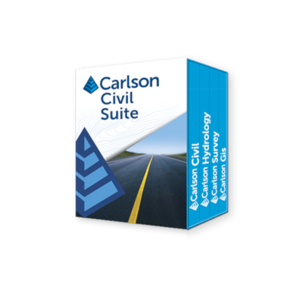


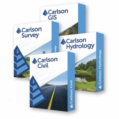
Carlson Civil Suite (Civil, Survey, Hydrology, GIS)
Get the best price for your setup
Contact our experts for the best possible price and configuration.
- Fast response
- Expert configuration advice
- No overpaying for features you do not need
Carlson Software’s Civil Suite is a powerful software bundle that includes Carlson Survey, Carlson Civil, Carlson Hydrology & Carlson GIS. These four civil-related modular programs, working together, will allow you to create all of your deliverables at a fraction of the long-term costs compared to other software alternatives.
You may also like…

Valued customers:










Find RTK Networks
Search NTRIP providers and connect to reliable RTK correction services.
Description
Carlson Software’s Civil Suite is a powerful software bundle made up of: Carlson Survey, Carlson Civil, Carlson Hydrology, and Carlson GIS. These four civil-related modular programs, working together, will allow you to create all of your deliverables at a fraction of the long-term costs compared to other software alternatives.
Road and Site Design Made Easy
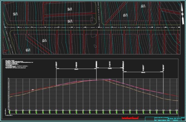
Carlson Civil provides the most robust automation and ease-of-use of any civil design solution available today, and it does dynamic updating without a single custom object. Carlson Civil’s wide selection of “power” tools enable users to increase their productivity as they create better road, site, and subdivision designs in less time.

Complete Hydrologic and Hydraulic Solution
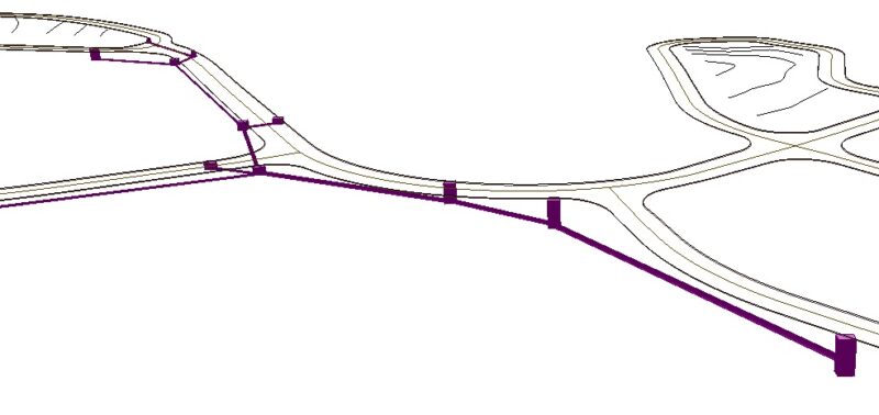
Carlson Hydrology is a comprehensive, yet easy-to-master hydrologic and hydraulic software solution that works simply in the commonly user CAD environment of polylines, text and layers. Carlson Hydrology provides site drainage and runoff analysis, plus storm drain system design and drafting, and pond design and sizing.
Put Your Designs on the Map
Providing tools for data capture and linking, data labeling, import/export of SHP files, polygon topology creation and analysis, and more, Carlson GIS is an awesome GIS “Swiss Army Knife” for the surveyor or engineer.

Work Seamlessly Between the Office and Field
A productive and intuitive survey solution with all versions complete with SurvNET Network Least Squares and drivers to connect to essentially every manufactures’ proprietary hardware and software, Carlson Survey is the #1 office software solution for surveyors in the United States and is gaining in popularity around the world.
Datasheets & Manuals
Reviews (0)
Only logged in customers who have purchased this product may leave a review.

 GPS & GNSS
 Total Stations
 Data collectors
 Software
 Correction services
 Machine control
 External radio
 Marine
 Accessories
Reviews
There are no reviews yet