


Echo Sounders for Marine Surveying: How They Work and Why They Matter
Marine surveying is an essential aspect of the maritime industry, involving the measurement and mapping [...]
Feb

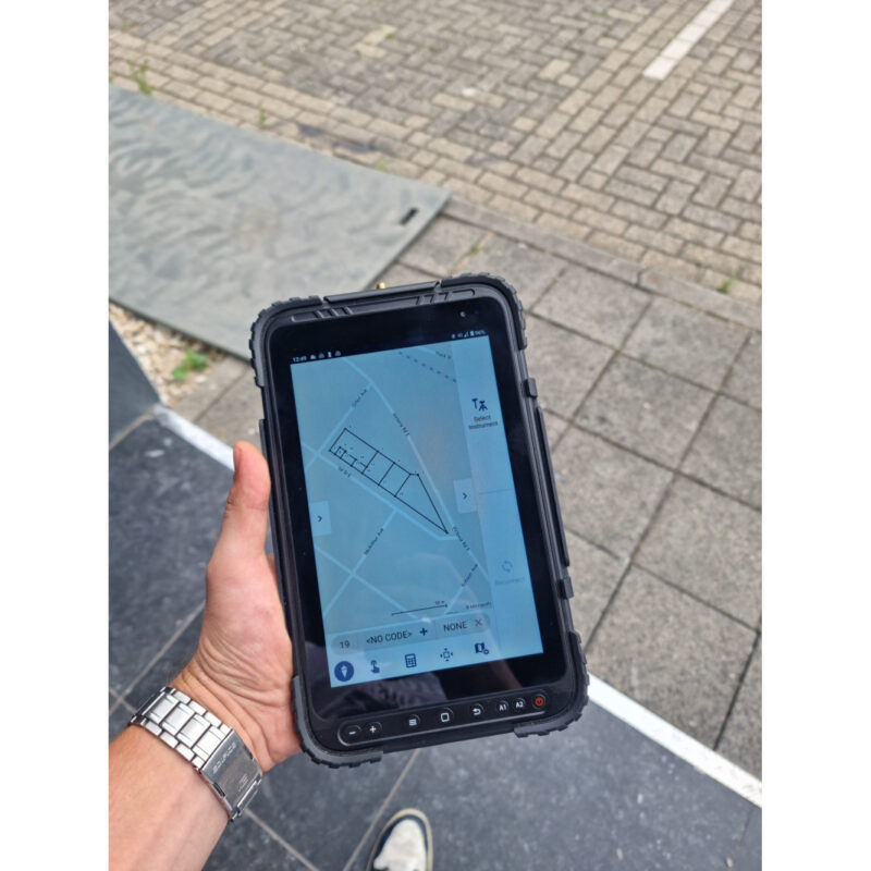
The Usage of Drones for Surveying and Mapping
Drones have revolutionized the way surveying is done. They provide a fast, efficient and cost-effective [...]
Feb

Coordinate Datum Transformation: Understanding the Importance of Accurate Spatial Data
Coordinate datum transformation is a crucial step in ensuring the accuracy of spatial data. By [...]
Jan

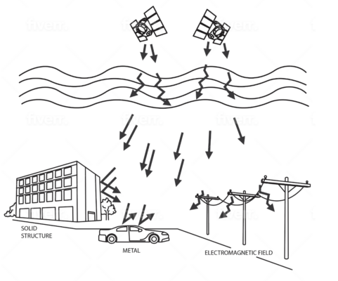
GNSS Timing and Atmospheric interferences: How GNSS is Solving These Problems
Atmospheric interference is a significant source of error in GNSS positioning and timing, but GNSS [...]
Jan

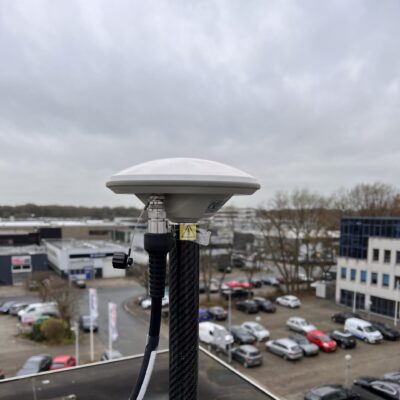
Understanding RTK VRS Networks
RTK VRS networks are a powerful and versatile tool that can be used to provide [...]
Jan
RTK GPS: Understanding Real-Time Kinematic GPS Technology
Real-time kinematic (RTK) GPS is a powerful technology that is used to provide highly accurate [...]
Jan
What is RTK VRS: A Guide on the technology
RTK VRS is a powerful technology that offers a cost-effective, accurate, and flexible solution for [...]
Jan
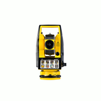
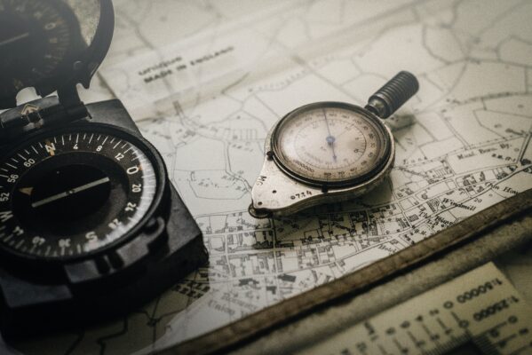
What is a Total Station? A Comprehensive Guide
A total station is a surveying instrument that combines an electronic theodolite and an electronic [...]
Jan