
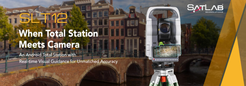
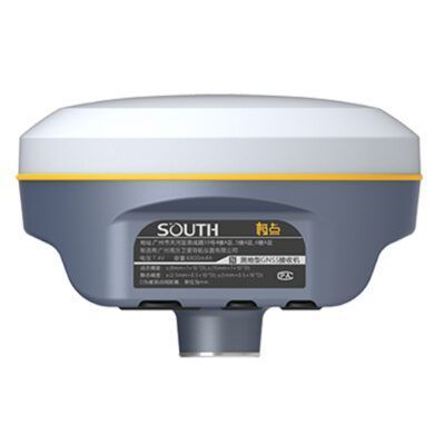
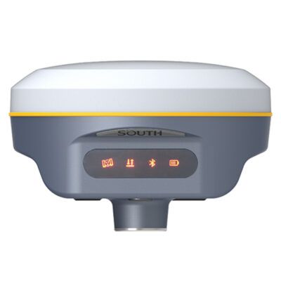
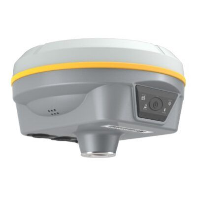
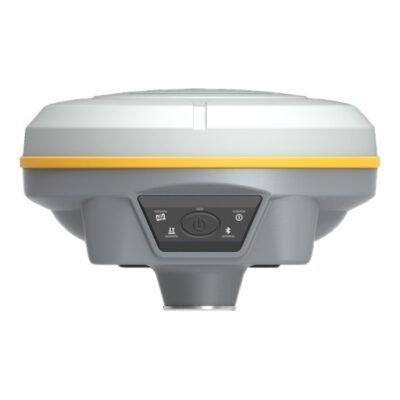
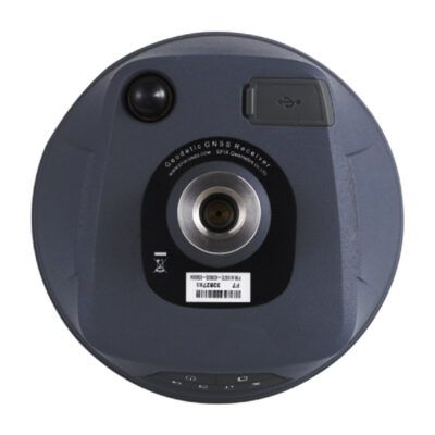
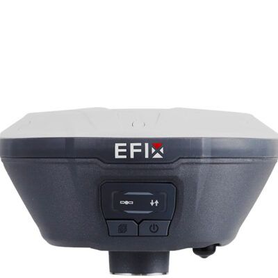
Satlab SLT12
Login to view prices
Click here to login or register

Worldwide Shipping From The Netherlands
100% Shipping Insurance on Damage and Loss
Experts in Import / Export / Tax and Duties
Premium Support from Product Experts
Buyers Protection and Warranty on all Products
Global GPS Systems
What Our Clients Say
Need Help? Call us!
+31 (0)35 205 7939
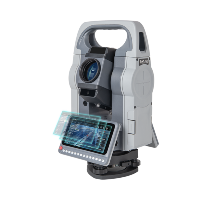
Satlab SLT12
Login to view prices
Click here to login or register
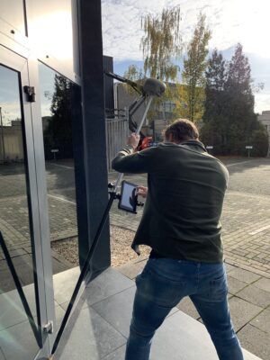
Featuring an integrated Android operating system and specialized software, the SLT12 seamlessly incorporates advanced technology into every measurement task. Its two high-definition touch displays enhance operational fluidity, and the built-in camera allows for AR stakeout, ensuring unparalleled precision and efficiency. The SLT12 is an essential tool for streamlining workflows and delivering exceptional results.
Applications:
- Construction Surveying
- Road, Bridge, Tunnel Works
- Mining
- Agriculture
Datasheets and manuals
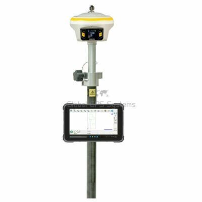
RECOMMENDED DATA COLLECTORS:


Login to view prices
Click here to login or register
Click here to login or register


Login to view prices
Click here to login or register
Click here to login or register


Login to view prices
Click here to login or register
Click here to login or register

Login to view prices
Click here to login or register
Click here to login or register

Login to view prices
Click here to login or register
Click here to login or register
RECOMMENDED SOFTWARE:

Login to view prices
Click here to login or register
Click here to login or register
38%

Login to view prices
Click here to login or register
Click here to login or register
25%

Login to view prices
Click here to login or register
Click here to login or register

Login to view prices
Click here to login or register
Click here to login or register
Login to view prices
Click here to login or register
Click here to login or register

Login to view prices
Click here to login or register
Click here to login or register
RECOMMENDED ACCESSORIES:
Login to view prices
Click here to login or register
Click here to login or register


Login to view prices
Click here to login or register
Click here to login or register

Login to view prices
Click here to login or register
Click here to login or register


Login to view prices
Click here to login or register
Click here to login or register


Login to view prices
Click here to login or register
Click here to login or register

Login to view prices
Click here to login or register
Click here to login or register


Reviews
There are no reviews yet.