We understand that with all the land surveying software for GPS on the market these days it can be very difficult to find the right one for you. Every land surveyor has different wants and needs and every job requires different solutions. In the end you just want the best land surveying software for the job and of course for the right price. We at Global GPS Systems are here to help you with your choice. The list won’t be a top 5 list with the best land surveying software for GNSS on top and the worst land surveying software for GNSS on the bottom. It will just be an overview with all the different aspects of the different types of software for GPS so you’ll have a nice overview to see which land surveying software is best for you. All the software in this list is available for purchase on this website. Click here for an overview of all our land surveying software for GPS.
We will look at 3 different aspects of every software:
- Extensiveness
- Price
- Operating System
With extensiveness we look into everything the land surveying software can do. From everything like collecting and plotting points, calculating volume and surface to importing and exporting different file types. Everything that can be of use for a land surveyor we’ll discuss.
With price we look of course at the price of the land surveying software for GPS and see if the price meets the extensiveness of the software. You’ll see most software is pretty much in the same price range but we’ll take a look at all the things a software can do compared to the price the land surveying software is.
And at last with operating system we simply look which operating system the land surveying software for GNSS uses. Is it an Android based software or a Windows (Mobile) based software. We will cover it all so you won’t have to check it for yourself.
So without further ado, let’s get into it!
MicroSurvey FieldGenius Android
| FieldGenius Android Key Points | |
|---|---|
| |
|

Most land surveyors will know FieldGenius, it’s one of the more popular land surveying software for GPS. It’s an easy to use land surveying software which reduces training time. MicroSurvey is continually improving FieldGenius for Android and are adding new features and enhancements based on cutomer feedback. FieldGenius isn’t the most extensive land surveying software for GNSS on the market, things like calculating volume and surfaces isn’t possible. But if you’re looking for a software that has a company behind it with decades of experience and is very easy to use, than FieldGenius might be the one for you. Are you looking for a more extensive land surveying software it will be better to look a little further.
The price of FieldGenius Android is discounted from €1295,- to €795,- and lies around the middle in price range for most land surveying software for GPS.
As the name says it, FieldGenius Android is an Android based software and thus a data collector with an Android operating system is needed.
There is also a Windows based version of FieldGenius which you can find here.

Here are some recommended rover sets with FieldGenius Android
RTK FIX G1 Rover set
A standard RTK GPS set for mapping your terrain, staking out or collecting points.
check optionsComnav N5 Rover set
A standard RTK GPS set for mapping your terrain, staking out or collecting points.
check optionsSouth SurvX
| SurvX Key Points | |
|---|---|
SurvX land surveying software for GPS is a lot more extensive than the FieldGenius surveying software. It has way more options and is also very easy to use. It’s maybe a bit more difficult to learn all the options but that’s also not so strange with a software that’s way more extensive. SurvX also has a company behind it with years of experience in the land surveying business. SurvX land surveying software for GNSS is from the brand South which also has it’s own high performing RTK GNSS receivers. Combining the SurvX software with their own GPS receivers makes a great combo for you land surveying jobs. (You can of course also combine SurvX with other brand GNSS receivers). So if you’re looking for a more extensive land surveying software SurvX can be a great option.
The price of the SurvX surveying software is €495,- and lies around the lower end of the price range of land surveying software for GPS.
SurvX is also an Android based surveying software so also for this software an Android data collector is needed.
Here are some recommended GPS receivers you can combine with SurvX

GPS & GNSS
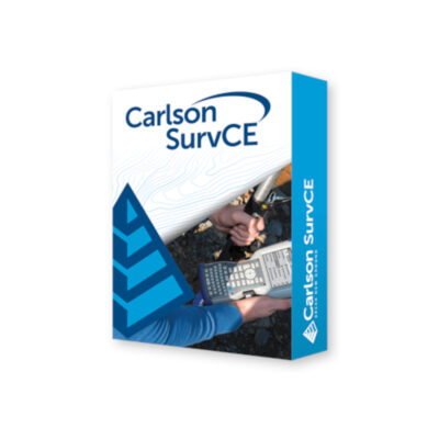
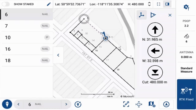
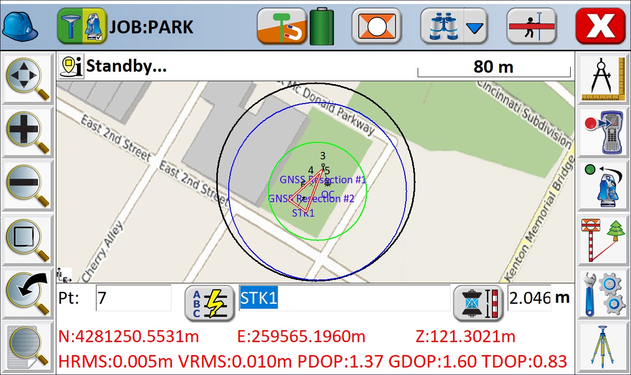
Carlson SurvCE/PC
| SURVCE KEY POINTS | |
|---|---|
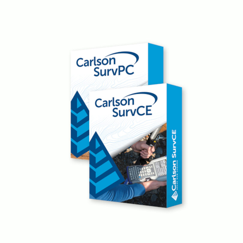
Carlson is mainly a software company from the United States but also has their own GNSS receivers. But their main focus is software. Their extremely popular Carlson SurvCE and SurvPC software comes in many forms, from SurvCE/PC Basic to SurvCE/PC Robotic to SurvCE/PC GPS Only and many more. The Carslon SurvCE land surveying software version is for Windows Mobile and their SurvPC land surveying software version is for Windows. They both support the widest range of popular and newly released GPS and (robotic) total stations.
Carlson’s SurvCE/PC is also a very extensive land surveying software for GNSS and has a lot of great features. From a highly graphical and intuitive user interface to strong GIS features and easy data exchange due to rich support of CAD file formats.
You’ll find the SurvCE/PC land surveying software a little more in the middle/high end of the price range of surveying software and lies between €500,- to €1750,- depending on what you need.
As we said before the Carlson SurvCE version is a Windows Mobile version and the SurvPC version is a Windows version of the software.
Here are some recommended Carlson set ups with SurvPC
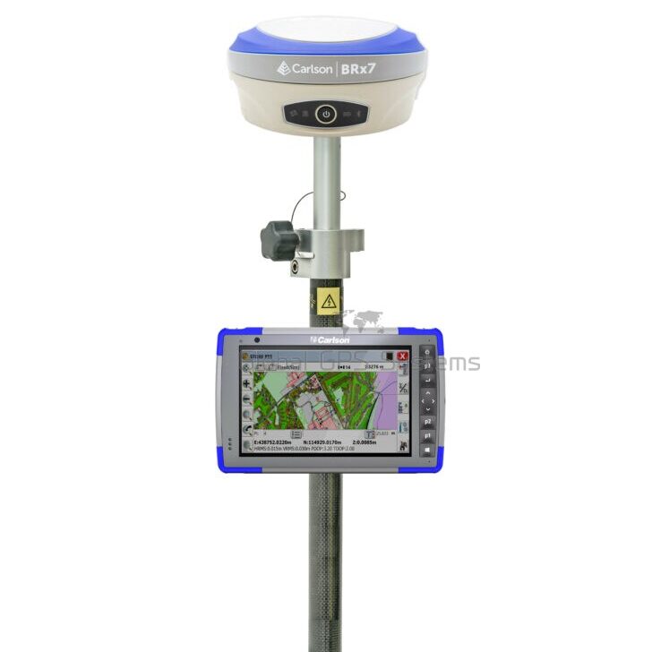
Carson BRx7 Rover set
A standard RTK GPS set for mapping your terrain, staking out or collecting points.
check options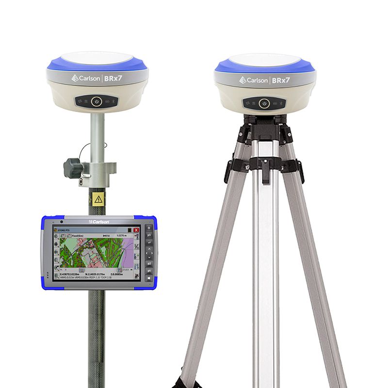
Carlson BRx7 Rover and Base set
When you live in a remote area a second GPS receiver is needed to act as a base station for correction data.
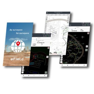
check optionsEFIX eField
| eField Key Points | |
|---|---|

The eField software from EFIX is a really easy-to-learn and easy-to-use land surveying software for GPS. There software works seemingly with their EFIX GNSS receivers. Their EFIX F7 RTK GPS receiver for instance is a really strong device with 824 channels and an IMU tilt sensor that let’s you tilt up to 60°. Combine this GNSS receiver with the eField land surveying software and you’ll have a great combo for your surveying jobs.
The eField surveying software is mainly known for its rich GIS and mapping features. From supporting CAD, ArcGIS and other base-map files to points and lines that can be selected and staked out directly from those base-maps to switching between online and offline Google Maps with just a few clicks. The structure and menu of the eField land surveying software for GNSS is optimized for users so they can quickly understand the application.
The eField surveying software is on the low-end price range of land surveying software for GPS and is €495,-. For a pretty low price you’ll have a really extensive land surveying software.
The eField software is an Andriod based software and thus an Android data collector is needed.
Here are some recommended rover sets with eField
EFIX F4 Rover set
A standard RTK GPS set for mapping your terrain, staking out or collecting points.
Check options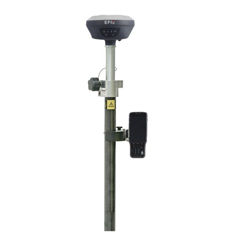
EFIX F7 Rover
A standard RTK GPS set for mapping your terrain, staking out or collecting points.
Check optionsSatlab SatSurv
| SATSURV KEY POINTS | |
|---|---|
The land surveying software for GPS from Satlab, called SatSurv, is again a very extensive software. It’s perfect for detail survey, data stakeout, cadastral surveying, road design and data management. Also for this land surveying software: combine it with a Satlab GNSS receiver and you’ll have a fully matched combo which will make your surveying jobs feel like a walk in the park.
On the right you see a list of all the options and features that comes with the SatSurv software for GNSS. As you can see it also supports a lot of different languages, import and export formats and COGO options. Long story short, a lot of land surveying jobs, if not all, can be done with the SatSurv land surveying software.
The SatSurv land surveying software for GPS has a price of €595,- which makes it a little higher than most of the land surveying software solutions in the low price range but it’s not quite enough to be in the middle price range.
The SatSurv surveying software is also an Android based software so for this land surveying software you’ll need an Android based data collector.
Here are some recommended Stonex S990A setups
Satlab SL700 Rover set
A standard RTK GPS set for mapping your terrain, staking out or collecting points.
check optionsSatlab SL800 Rover set
A standard RTK GPS set for mapping your terrain, staking out or collecting points.
check optionsThings to consider when choosing a land surveying software for GNSS.
1. Check if the things you want to do are possible with the land surveying software you want to buy.
Before you buy the surveying software, check thoroughly if the software can do what you want and need to do on your surveying jobs. It would be a shame if you’re all set and ready on your surveying job and you come to the conclusion that something you need to do in your surveying job isn’t possible with the land surveying software for GPS you chose.
2. Make sure that the operating system the land surveying software runs on matches your data collector’s operating system.
If your data collector has a Windows operating system and your land surveying software runs on Android, it won’t be possible to run the land surveying software on that data collector. Always check if the two operating systems match. Luckily we at Global GPS Systems have the Rover sets already matched with the right data collector and software. As you will notice the most land surveying software solutions and data collectors are Android based.