14%

cubic Orb Wms2Cad
Login to view prices
Click here to login or register

Worldwide Shipping From The Netherlands
100% Shipping Insurance on Damage and Loss
Experts in Import / Export / Tax and Duties
Premium Support from Product Experts
Buyers Protection and Warranty on all Products
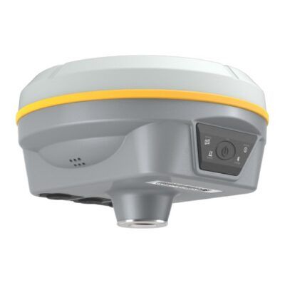
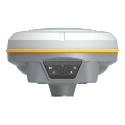
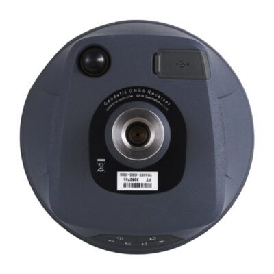
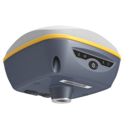
Global GPS Systems
What Our Clients Say
Need Help? Call us!
+31 (0)35 205 7939
cubic Orb Wms2Cad
Login to view prices
Click here to login or register
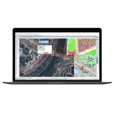
Wms2Cad is a software to display maps from WMS services made by Cubic Orb. Use it to quickly georeferencingly display the maps or other imaging on CAD drawings basing on coordinates in a known system. It allows additional information to be obtained from the services, like ordinates from a digital terrain model.
Wms2Cad has a huge base of predefined WMS, TMS and WMTS services. You may also easily add further services to the base!
Why land surveyors love Wms2Cad?
- displays raster images from WMS services in a CAD drawing in an extraordinarily easy manner
- supports WMS, TMS and WMTS services
- allows for connection with any WMS service if its owner shares publicly the service’s network address
- displays a single raster tile or a group of tiles (by a single click at a chosen place or by marking a selected area)
- many predefined connections to various map services, including Open Street Map
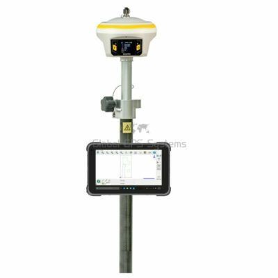
RECOMMENDED DATA COLLECTORS:


Login to view prices
Click here to login or register
Click here to login or register


Login to view prices
Click here to login or register
Click here to login or register


Login to view prices
Click here to login or register
Click here to login or register

Login to view prices
Click here to login or register
Click here to login or register

Login to view prices
Click here to login or register
Click here to login or register
RECOMMENDED SOFTWARE:

Login to view prices
Click here to login or register
Click here to login or register
38%

Login to view prices
Click here to login or register
Click here to login or register
25%

Login to view prices
Click here to login or register
Click here to login or register

Login to view prices
Click here to login or register
Click here to login or register
Login to view prices
Click here to login or register
Click here to login or register

Login to view prices
Click here to login or register
Click here to login or register
RECOMMENDED ACCESSORIES:
Login to view prices
Click here to login or register
Click here to login or register


Login to view prices
Click here to login or register
Click here to login or register

Login to view prices
Click here to login or register
Click here to login or register


Login to view prices
Click here to login or register
Click here to login or register


Login to view prices
Click here to login or register
Click here to login or register

Login to view prices
Click here to login or register
Click here to login or register


Reviews
There are no reviews yet.