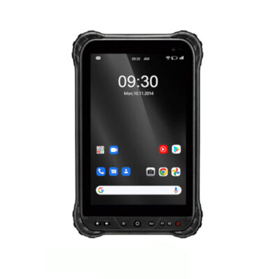
Total Station
What is a Total Station? A Comprehensive Guide
What is a Total Station?
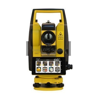
A total station is a surveying instrument that combines an electronic theodolite and an electronic distance meter (EDM) to provide accurate measurements of both horizontal and vertical angles as well as distances. It is commonly used in construction, engineering, and land surveying projects to collect data for creating detailed maps, plans, and 3D models.
How Does a Total Station Work?
A Total Station consists of a telescope, a computer, and a reflector. The telescope is used to aim at a target, and the EDM measures the distance to the target by sending out a laser beam and measuring the time it takes for the beam to be reflected back. This time is used to calculate the distance to the target.
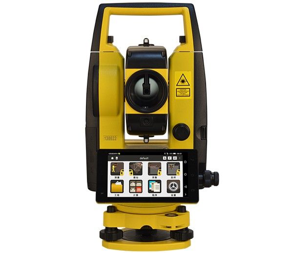
The telescope also has a built-in electronic theodolite that measures the horizontal and vertical angles to the target. The total station’s computer receives the data from both the EDM and the theodolite and processes it to give the user the information they need. The total station can also have the capability to store data on the instrument, allowing for easy transfer to a computer or other device for further analysis. Some total stations can also be controlled remotely, allowing the user to take measurements from a safe distance.
Some total stations have the capability to connect to external devices such as GPS receivers, which allows for the integration of total station data with GPS data, providing a more accurate and detailed survey. This feature is especially useful for large-scale projects where a high level of accuracy is required.
There are different types of total stations, and they can come with different features, such as robotic total stations, which are able to move the telescope and rotate the instrument to a new point with just one button press. They also have a built-in robotic controller, which allows the instrument to be controlled remotely from a data collector. This feature is especially useful for larger projects where multiple measurements need to be taken from different positions. Another example is the 3D total stations, which are able to measure angles and distances in three dimensions, providing users with a more complete picture of the area being surveyed.
Manual Total Stations
Manual total stations are the traditional type of total station that has been used for many years. They are operated by a human surveyor who manually points and shoots the instrument at each point to be measured. The surveyor then records the angle and distance measurements, which are then used to calculate the coordinates of the point.
One of the main advantages of manual total stations is their simplicity. They are easy to use and require minimal training. They are also relatively inexpensive, making them a good option for small-scale projects or for surveyors on a budget. However, manual total stations have some limitations. They are slower to operate than robotic total stations, and they are more prone to human error.
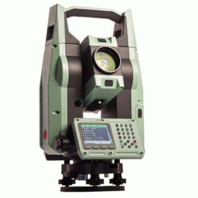
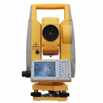
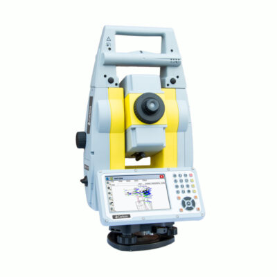
some popular manual total stations
Robotic Total Stations
Robotic total stations, on the other hand, are operated by a robotic arm that automatically points and shoots the instrument at each point to be measured. The surveyor controls the instrument remotely, using a computer or a handheld controller. This allows the surveyor to remain at a safe distance from the instrument and to take measurements from a more convenient location.
One of the main advantages of robotic total stations is their speed and efficiency. They can take measurements much faster than manual total stations, and they are less prone to human error. This makes them a good option for large-scale projects or for surveyors who need to collect a lot of data quickly.
Another advantage of robotic total stations is their flexibility. They can be used in a variety of environments, including challenging or dangerous locations, and they can be programmed to take measurements at specific intervals or to follow a predetermined survey plan. They can also be integrated with other equipment, such as GPS or laser scanners, to provide more accurate and detailed data.
However, robotic total stations also have some limitations. They are more expensive than manual total stations, and they require more training and expertise to operate. They are also more complex and require more maintenance than manual total stations.
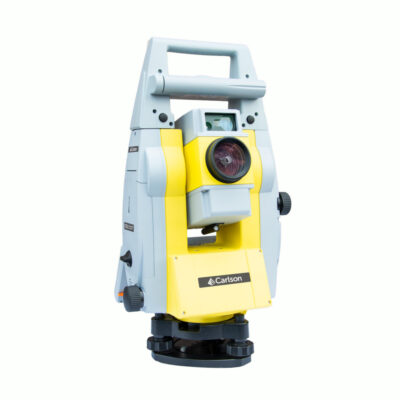
some popular robotic total stations
Comparison of Manual and Robotic Total Stations
When comparing manual and robotic total stations, it is important to consider several key factors, including cost, speed, accuracy, and ease of use.
-
Cost: As mentioned earlier, manual total stations are generally less expensive than robotic total stations. This makes them a good option for small-scale projects or for surveyors on a budget. However, if the project requires a large amount of data to be collected quickly and accurately, the added cost of a robotic total station may be justified.
-
Speed: Robotic total stations are much faster than manual total stations, allowing surveyors to collect data more quickly and efficiently. This is especially important for large-scale projects or for surveyors who need to collect a lot of data quickly.
-
Accuracy: Both manual and robotic total stations are capable of producing accurate data, but robotic total stations are less prone to human error. This is because the robotic arm automatically points and shoots the instrument, reducing the chance of operator error.
-
Ease of use: Manual total stations are generally easier to use than robotic total stations, and require minimal training. However, robotic total stations offer more flexibility and can be programmed to take measurements at specific intervals or to follow a predetermined survey plan.
Key Features of a Total Station
- High accuracy: Total stations are capable of measuring angles with an accuracy of up to 1 second of arc and distances with an accuracy of up to 2mm + 2ppm.
- Automatic target recognition: Many total stations have the ability to automatically recognize and lock onto the target, making it easy to take accurate measurements.
- Onboard data storage: Total stations have the ability to store data on the instrument, allowing for easy transfer to a computer or other device for further analysis.
- Remote control: Some total stations can be controlled remotely, allowing the user to take measurements from a safe distance.
- On-board software: Many total stations come with software that allows for advanced data processing and analysis, including the creation of 3D models and maps.
Applications of a Total Station
- Construction: Total stations are used to collect data for building construction, including the layout of foundations, walls, and roofs.
- Engineering: Total stations are used to collect data for the design and construction of roads, bridges, and other infrastructure projects.
- Land Surveying: Total stations are used for land surveying, including boundary surveys, topographic surveys, and property surveys.
- Mining: Total stations are used to collect data for mine planning, including the layout of underground tunnels and the location of mineral deposits.
- Archaeology: Total stations are used to collect data for the study of archaeological sites, including the mapping of ruins and the measurement of artifacts.
Advantages of Using a Total Station
- Efficiency: Total stations are able to measure both horizontal and vertical angles as well as distances in a single instrument, which eliminates the need for multiple instruments and saves time on the job site.
- Versatility: Total stations can be used for a variety of tasks, including layout, stakeout, and as-built surveys.
- Reduced human error: Total stations are equipped with automatic target recognition and remote control capabilities which reduce the risk of human error in taking measurements.
- Increased accuracy: Total stations have a high level of accuracy, which ensures that the data collected is reliable and can be used for detailed mapping and modeling.
- Cost-effective: Total stations are cost-effective in the long run as it eliminates the need for multiple instruments and reduces the need for manual labor.
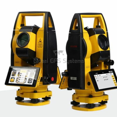
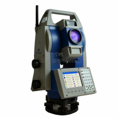
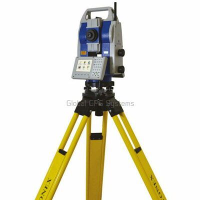
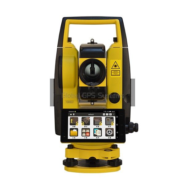
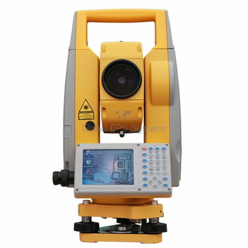
two popular south total stations
Advancements in Total Stations Technology
In recent years, there have been significant advancements in total stations technology, which has led to the development of more advanced and accurate instruments.
-
Reflectorless Total Stations: Reflectorless total stations use a laser beam to measure distances, rather than a traditional prism. This allows for measurements to be taken without the need for a reflector, which can be placed on the point to be measured. This technology is particularly useful in situations where a reflector cannot be placed, such as on a building or a tree.
-
3D Scanning Total Stations: 3D scanning total stations are able to capture a 3D point cloud of the area being surveyed. This technology is useful for creating detailed 3D models of buildings, landscapes, and other structures.
-
Bluetooth and Wi-Fi connectivity: Some of the latest total stations are equipped with Bluetooth and Wi-Fi connectivity, which allows for real-time data transfer to a computer or mobile device. This makes it easier for surveyors to share data and collaborate with others on a project.
-
GNSS integration: Some total stations are also now being integrated with Global Navigation Satellite System (GNSS) technology. This allows for more accurate and precise measurements, especially in challenging environments or remote areas where traditional survey methods may not be feasible.
Total Station Accessories
There are a number of accessories available for total stations that can enhance their functionality and make the surveying process more efficient. Some popular accessories include:
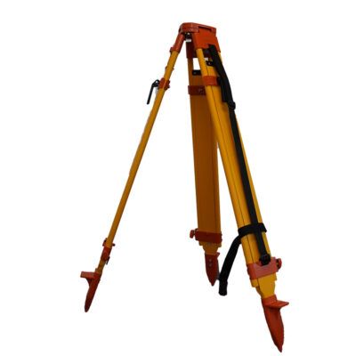
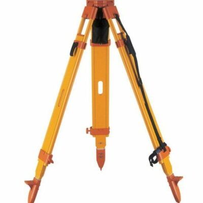
- Tripods: A sturdy tripod is essential for ensuring that the total station is stable and level when taking measurements.
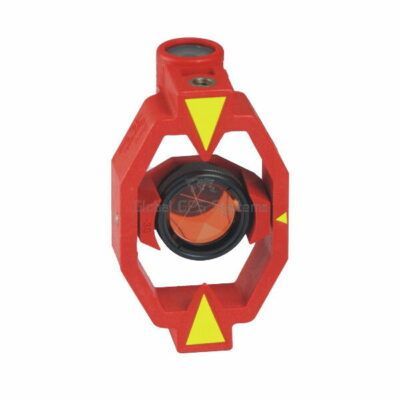
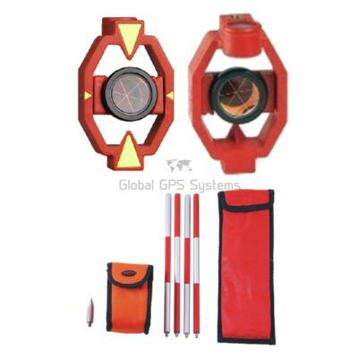
- Prisms: Reflective prisms can be attached to targets to improve the accuracy of measurements taken by the total station.
- Data collectors: A data collector can be connected to the total station to store and transfer data, which makes it easier to process and analyze.
examples of total station accessories
Choosing the Right Total Station for Your Project
When choosing a total station for your project, it is important to consider the specific needs of the project, as well as your budget and expertise. If you are working on a small-scale project and have a limited budget, a manual total station may be the best option. However, if you are working on a large-scale project and need to collect a lot of data quickly and accurately, a robotic total station may be a better choice.
It is also important to consider the advancements in total stations technology, such as reflectorless, 3D scanning, Bluetooth and Wi-Fi connectivity, and GNSS integration. These features can greatly enhance the accuracy and efficiency of your survey work.
It is always advisable to consult with professionals, manufacturers or suppliers before making a decision, they will be able to advise you on the best total station for your specific needs and help you choose the right one that meets your budget and expertise.
In conclusion, total stations are essential tools for surveyors and engineers. They provide accurate and detailed data that is used in a wide range of applications, including construction, land surveying, mining, and many more. The advancements in total stations technology have led to the development of more advanced and accurate instruments, such as reflectorless, 3D scanning, Bluetooth and Wi-Fi connectivity, and GNSS integration. When choosing a total station for your project, it’s important to consider the specific needs of the project, your budget and expertise, and the latest technology available.


