UAV
The Usage of Drones for Surveying and Mapping
Drones have revolutionized the way surveying is done. They provide a fast, efficient and cost-effective way of collecting data for surveying purposes. With their ability to capture high-resolution aerial imagery and data, drones have quickly become the go-to tool for surveyors. In this article, we will explore how drones are used in surveying and the benefits they provide.
What is surveying?
Before we delve into how drones are used in surveying, it is essential to understand what surveying is. Surveying is the process of measuring and mapping the physical features of the earth’s surface. This includes determining the boundaries of a piece of land, measuring the elevations of different points, and mapping out the topography of an area.
How are drones used in surveying?
Drones are used in surveying in a variety of ways. Here are some of the most common applications of drones in surveying:
Mapping
Drones can be used to create accurate maps of an area. By capturing aerial imagery of the terrain, drones can generate high-resolution orthomosaic maps. These maps provide a detailed view of an area, including its contours, elevation, and features. Surveyors can use these maps to identify areas that may require further examination, such as potential hazards or areas with unstable terrain.
Topography
Drones can also be used to map out the topography of an area. By using LiDAR technology, drones can generate detailed 3D models of the terrain. This information is valuable for construction projects as it helps in determining the best location for buildings, roads, and other structures.
Inspections
Drones can be used to inspect hard-to-reach areas, such as roofs, towers, and power lines. With their ability to capture high-resolution imagery, drones can detect any signs of wear and tear, damage or other issues. This information can help prevent accidents and ensure that the infrastructure is in good working condition.
Environmental monitoring
Drones can be used to monitor the environment and natural resources. For example, they can be used to map out the extent of forest fires, monitor the health of crops and vegetation, and track wildlife populations. This information can be used to develop strategies for protecting the environment and managing natural resources.
some popular rotary wing drones
Benefits of using drones in surveying
There are several benefits of using drones in surveying, including:
Efficiency
Drones can cover large areas in a short amount of time, making them a more efficient alternative to traditional surveying methods. With their ability to fly at different altitudes, drones can capture high-resolution imagery and data quickly and easily.
Cost-effectiveness
Using drones for surveying is also more cost-effective than traditional methods. With the ability to cover more ground in less time, surveyors can reduce the amount of time and resources required to complete a survey.
Accuracy
Drones can capture highly accurate data, which is critical for surveying purposes. With their advanced sensors and GPS technology, drones can capture data with sub-centimeter accuracy, ensuring that the survey data is precise and reliable.
Safety
Drones can be used to inspect hard-to-reach areas, reducing the need for surveyors to put themselves in potentially dangerous situations. By using drones, surveyors can reduce the risk of accidents and injuries.
some popular fixed wing drones
Choosing the right drone for surveying
When choosing a drone for surveying, there are several factors to consider. Here are a few important considerations:
Flight time and range
The flight time and range of a drone are important factors to consider when choosing a drone for surveying. You want to make sure that the drone can fly for a sufficient amount of time and cover the range required for the survey.
Payload capacity
The payload capacity of a drone is also an important consideration. Surveying often requires specialized sensors and cameras, which can be heavy. You want to make sure that the drone you choose can carry the required payload.
Stability and control
Stability and control are critical for capturing high-quality imagery and data. You want to choose a drone that is stable in flight and can be easily controlled to capture the required data.
Sensor and camera options
The sensors and cameras on a drone are essential for surveying purposes. You want to make sure that the drone you choose has the appropriate sensors and cameras for your specific surveying needs.
Training and certification
Finally, it is important to ensure that the surveyor or team operating the drone is properly trained and certified. Operating a drone for surveying purposes requires specialized skills and knowledge. You want to make sure that the surveyor or team operating the drone is properly trained and certified to ensure that the data collected is accurate and reliable.
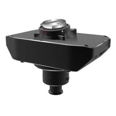
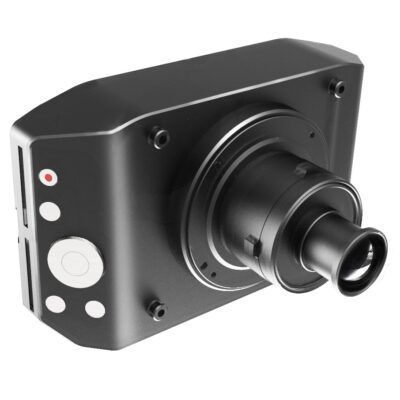
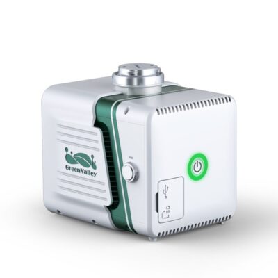
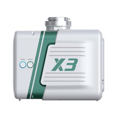
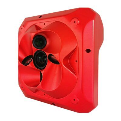
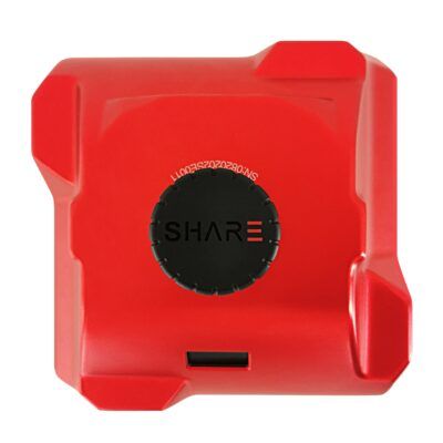
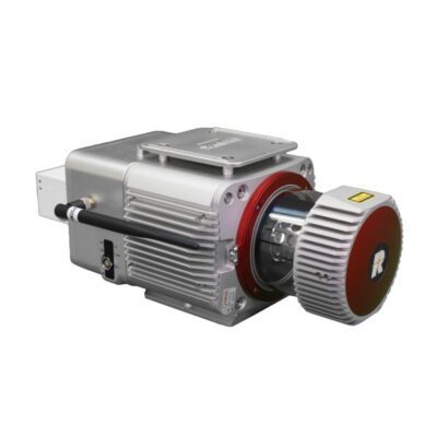
some popular payloads
Conclusion
Drones have revolutionized the way surveying is done. They provide a fast, efficient, and cost-effective way of collecting data for surveying purposes. Drones can be used for mapping, topography, inspections, and environmental monitoring. They offer several benefits, including efficiency, cost-effectiveness, accuracy, and safety. When choosing a drone for surveying, it is essential to consider factors such as flight time and range, payload capacity, stability and control, sensor and camera options, and training and certification. With their ability to capture high-resolution imagery and data, drones are poised to continue transforming the field of surveying for years to come.


