GNSS
When Was the GPS Invented? The Fascinating Evolution of GPS Technology
In the realm of modern navigation, the Global Positioning System (GPS) stands as a beacon of technological marvel and precision. Developed decades ago, GPS has transformed the way we perceive and interact with our world. Understanding its origins, historical significance, and its role in various professional domains provides insights into its widespread impact.
The Genesis of GPS: A Revolutionary Milestone in Navigation
GPS, the navigation system that has become an indispensable tool for countless individuals and industries, was first conceptualized in the early 1960s. The United States Department of Defense, recognizing the potential of satellite-based navigation, initiated the project with the primary aim of bolstering military capabilities. The origins of GPS can be traced back to the successful launch of the first satellite, Sputnik, by the Soviet Union in 1957. This groundbreaking achievement spurred the U.S. government to invest in satellite technology for navigation and positioning purposes.
After years of research and development, the U.S. Department of Defense finally launched the first prototype of GPS in 1978. It was initially intended for military applications, such as enhancing the precision of missile guidance systems and troop movements. However, as the technology advanced, its potential for civilian use became increasingly evident.

The Emergence of GPS in Land Surveying: Transforming Precision and Accuracy
GPS, initially restricted to military use, soon found its way into the realm of land surveying. In the late 1980s and early 1990s, as the technology became more accessible, land surveying professionals began to harness the power of GPS for their projects. The integration of GPS technology revolutionized traditional surveying methods, allowing for unprecedented accuracy and efficiency in determining precise locations and boundaries.
Land surveyors, who previously relied on manual and time-consuming techniques, now embraced GPS for its ability to provide accurate positioning data in real-time. The introduction of GPS in land surveying not only expedited the process but also significantly reduced the margin of error, leading to enhanced reliability and confidence in surveying outcomes.
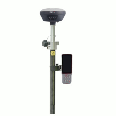
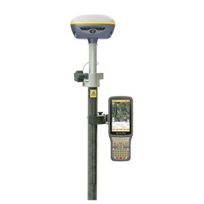
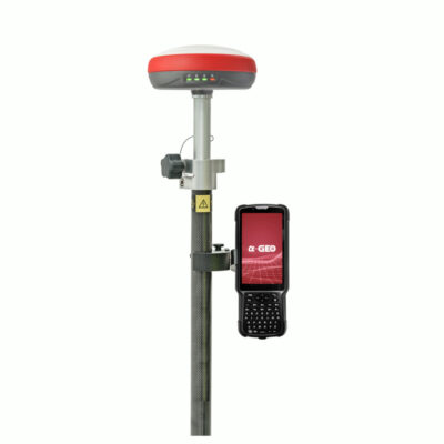
Some popular GPS rover sets for land surveying
The Diverse Applications of GPS Across Various Professions
Beyond its pivotal role in military and land surveying applications, GPS has permeated a multitude of professions, demonstrating its versatility and adaptability across diverse fields. Some of the notable professions that extensively utilize GPS technology include:
1. Agriculture:
In the realm of agriculture, GPS has facilitated precision farming techniques, enabling farmers to make data-driven decisions for crop management, irrigation, and yield optimization. By accurately mapping fields and monitoring crop health, farmers can maximize their productivity and minimize resource wastage.
Click here to check out our top 5 GPS receivers for agriculture.
2. Forestry:
GPS technology has revolutionized the forestry sector by providing accurate location data for mapping forest areas, tracking wildlife, and managing conservation efforts. Forestry professionals rely on GPS for efficient timber harvesting, habitat monitoring, and sustainable forest management practices.
Click here to check out our top 5 GPS receivers for forestry.
3. Construction and Infrastructure:
In the domain of construction and infrastructure, GPS plays a pivotal role in surveying, site planning, and equipment management. From ensuring precise land measurements to facilitating the construction of roads, bridges, and buildings, GPS technology enhances project efficiency, accuracy, and overall safety.
Click here to check out our top 5 GPS receives for construction and infrastructure.
The Ongoing Evolution of GPS: Paving the Way for Future Innovations
As technology continues to advance, the capabilities of GPS are expected to expand even further. Ongoing research and development efforts are geared towards enhancing the precision, reliability, and versatility of GPS systems, catering to the evolving demands of various industries and domains. With the advent of augmented reality, machine learning, and the Internet of Things (IoT), the integration of GPS with these technologies holds the potential for groundbreaking applications in the near future.

Conclusion
The invention of GPS marked a significant milestone in the history of navigation and has since become an indispensable tool for a wide array of professions. From its humble beginnings in military applications to its widespread use in land surveying, transportation, agriculture, geology, outdoor recreation, and urban planning, GPS continues to redefine the way we interact with our environment. As we look to the future, the evolution of GPS promises to unlock new possibilities and drive innovation across diverse industries, shaping the way we navigate and perceive the world around us.


