14%

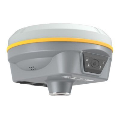
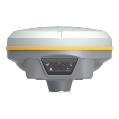
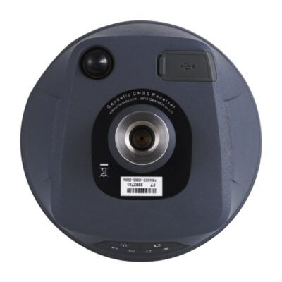
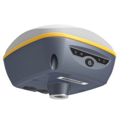
Cubic Orb RAWGNSS
Login to view prices
Click here to login or register

Worldwide Shipping From The Netherlands
100% Shipping Insurance on Damage and Loss
Experts in Import / Export / Tax and Duties
Premium Support from Product Experts
Buyers Protection and Warranty on all Products
Global GPS Systems
What Our Clients Say
Need Help? Call us!
+31 (0)35 205 7939
Cubic Orb RAWGNSS
Login to view prices
Click here to login or register
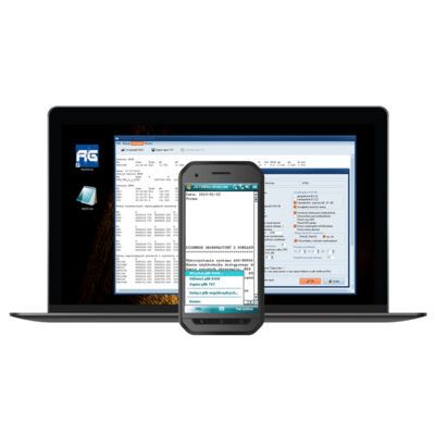
RawGNSS is an easy-to-use software created by Cubic Orb. You can use it to generate editable reports from GNSS measurements, basing on RAW / RW5, Land XML, Job XML (JXL) and CSV files. It has many tools to create personalized measurement reports, including averaged coordinates from multiple measurements or comparisons from control measurements.
Why Land Surveyors love RawGNSS?
- report generated in a convenient text file or optionally in the form of a HTML table
- works on both PCs and devices with Windows Mobile and Android (embedded in the QuickGNSS program)
- tools for automatic generation of average points, calculating differences from control measurements and control of measurements’ quality
- a number of available options allow you to customise the content and form of the report to individual needs
- semi-automatic correction of an incorrectly entered antenna height, together with the conversion of point elevations
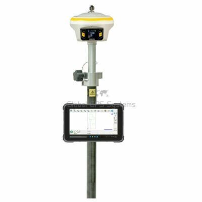
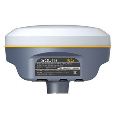
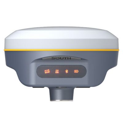
RECOMMENDED DATA COLLECTORS:


Login to view prices
Click here to login or register
Click here to login or register


Login to view prices
Click here to login or register
Click here to login or register


Login to view prices
Click here to login or register
Click here to login or register

Login to view prices
Click here to login or register
Click here to login or register

Login to view prices
Click here to login or register
Click here to login or register
RECOMMENDED SOFTWARE:

Login to view prices
Click here to login or register
Click here to login or register
38%

Login to view prices
Click here to login or register
Click here to login or register
25%

Login to view prices
Click here to login or register
Click here to login or register

Login to view prices
Click here to login or register
Click here to login or register
Login to view prices
Click here to login or register
Click here to login or register

Login to view prices
Click here to login or register
Click here to login or register
RECOMMENDED ACCESSORIES:
Login to view prices
Click here to login or register
Click here to login or register


Login to view prices
Click here to login or register
Click here to login or register

Login to view prices
Click here to login or register
Click here to login or register


Login to view prices
Click here to login or register
Click here to login or register


Login to view prices
Click here to login or register
Click here to login or register

Login to view prices
Click here to login or register
Click here to login or register


Reviews
There are no reviews yet.