

 GPS & GNSS
 Lidar scanning
 Total Station
User stories
How Boskalis Uses RTK GNSS for Setting Out and As-Built Surveying
Boskalis works on complex maritime and infrastructure projects around the world. The company has its roots in the Netherlands and more than 115 years of experience in hydraulic engineering, coastal protection and land reclamation.
Today, Boskalis operates in 70 countries across six continents. Its activities range from dredging and inland infrastructure to offshore energy and maritime services. Whether the work involves ports, waterways, roads or other infrastructure, reliable measurements are an essential part of delivering a project correctly.
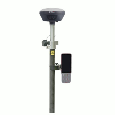
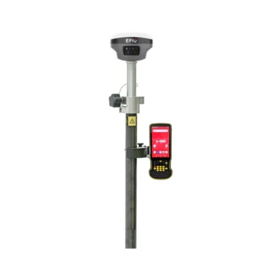
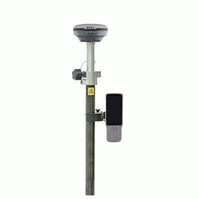
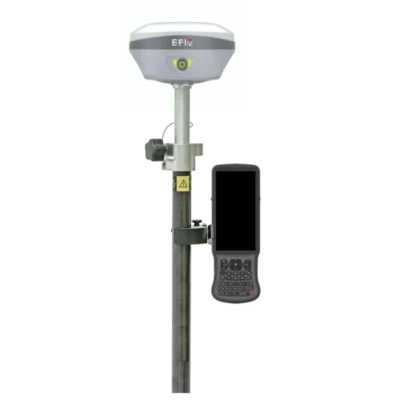
That was also the case at the Papaverveld project in Waddinxveen, where Rob van den Berg started working with a new EFIX F7 RTK GNSS surveying system supplied by Global GPS Systems.

Surveying at the Papaverveld Project
On infrastructure projects, setting out is only one part of the surveying work. Measurements also need to be recorded as construction progresses, so the completed work can be checked against the design.
At Papaverveld, Rob uses the EFIX F7 for both tasks. The system provides centimetre-level accuracy while remaining straightforward to operate in the field.
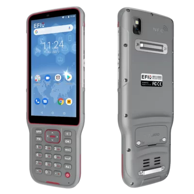
Rob can import 3D design drawings into the field controller. Once on site, he can select individual points from the drawing and use the GNSS system to stake them out. This allows him to work directly from the project design without having to translate every point into a separate manual workflow.
The same equipment is used to record as-built measurements for the sewer and roadworks. Using one system for setting out and recording completed work keeps the fieldwork practical and reduces the need to switch between different instruments.
A Practical RTK GNSS Solution
Global GPS Systems supplied Boskalis with the EFIX F7 solution used on the project. Speed, ease of use and versatility were important characteristics of the system.
A useful feature during day-to-day fieldwork is tilt compensation. With a conventional surveying pole, the pole normally has to be held perfectly upright to measure the correct position. The EFIX F7 compensates when the pole is tilted, so the recorded position still corresponds to the tip of the pole.
This gives Rob more freedom when measuring points where keeping the pole completely vertical is difficult. The system can therefore be used for a wider range of measurements without making the process unnecessarily complicated.

GPS Rover Sets
GPS & GNSS
Equipment Combined with Surveying Support
The equipment is backed by regular surveying support. Surveyor Erwin Taverne visits the project each week to collect the measurement data and assist with the setting-out work.
This combination gives the team more independence in its daily activities while retaining the involvement of an experienced surveyor. Routine measurements can be carried out directly on site, with specialist support available for data collection and dimensional control.
Reducing Surveying Costs
Bringing more of the surveying work into the daily construction process also has a financial benefit. The relatively accessible purchase price of the system, combined with lower external surveying costs, means the investment can be recovered quickly.
For Boskalis, the EFIX F7 provides a practical way to handle setting out and as-built surveying with the same equipment. Global GPS Systems helped make the required RTK GNSS technology available in a form that Rob could use directly in the field: accurate, fast and suitable for several different surveying tasks.
 GPS & GNSS
 Total Stations
 Data collectors
 Software
 Correction services
 Machine control
 External radio
 Marine
 Accessories