FREE RTK CORRECTIONS - Join the NTRIP CAster

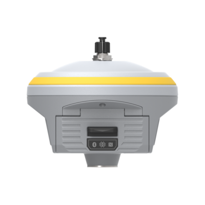
South ALPS1

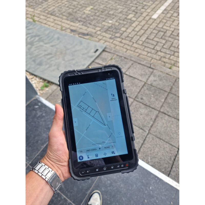
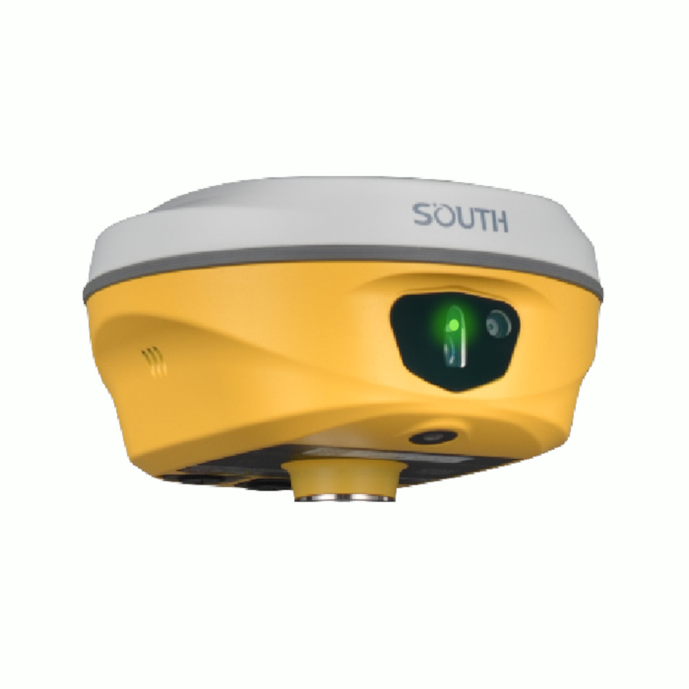
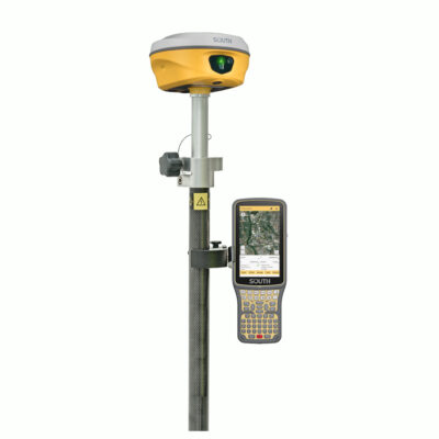
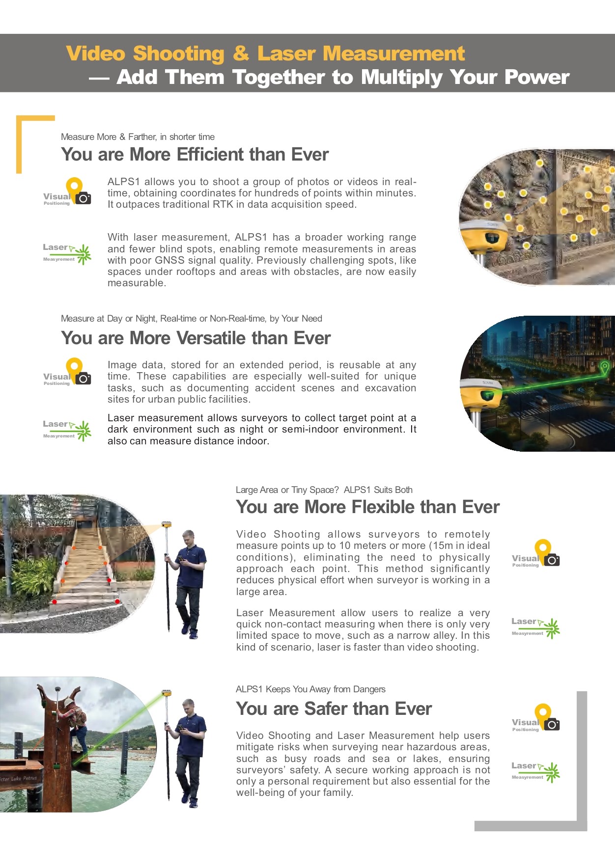
The South ALPS1 is an advanced GNSS receiver equipped with laser and camera functionality, designed to streamline and expand surveying capabilities. With its unique combination of video shooting and laser measurement, ALPS1 captures hundreds of coordinates within minutes and extends the range of data collection to hard-to-reach or obstructed areas. This versatile device works efficiently in low-light or obstructed environments, making it ideal for both urban and remote settings, as well as day or night use. ALPS1 prioritizes surveyor safety by enabling remote measurements, reducing the need for physical proximity to hazardous locations, and offering enhanced flexibility in large and confined spaces alike.

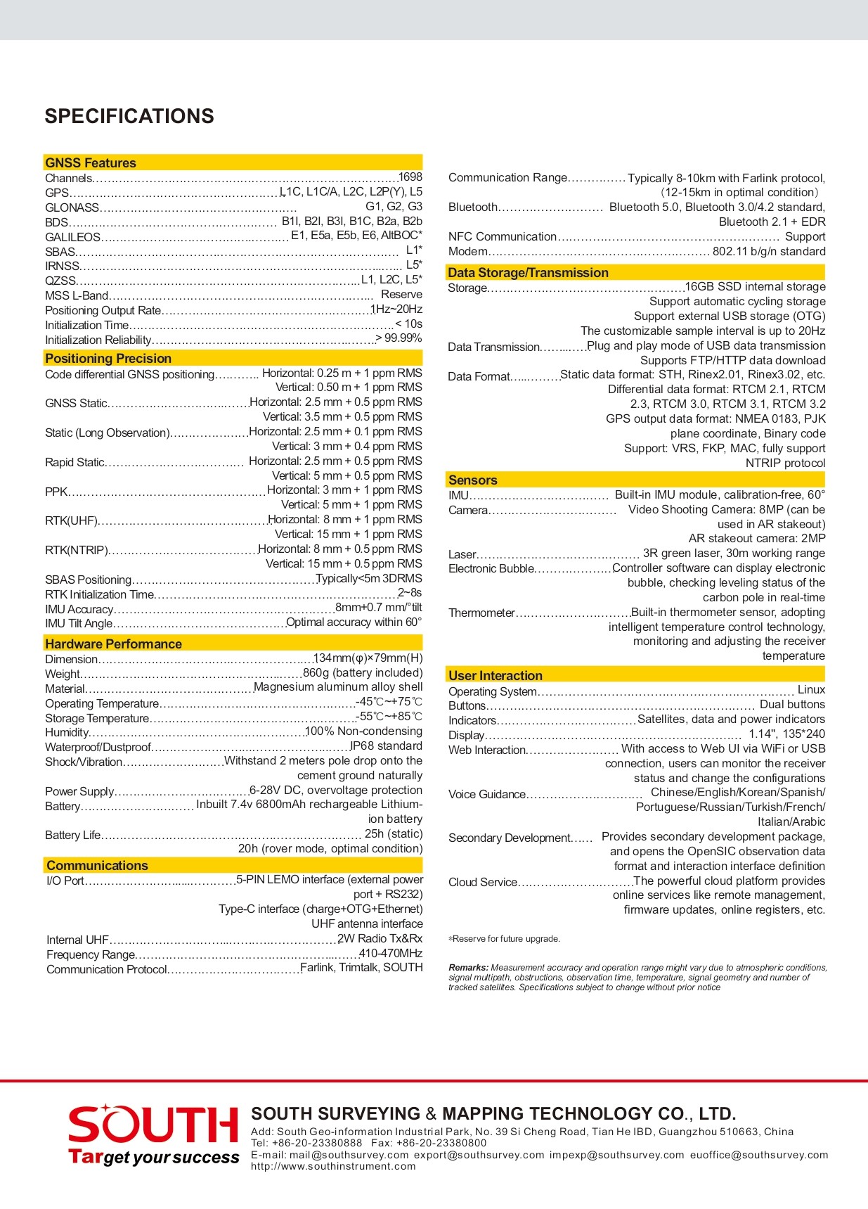
Channels 1698
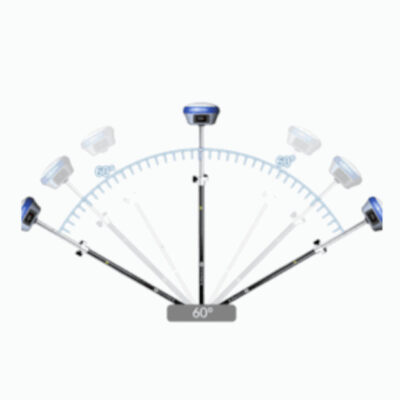
IMU Tilt Sensor 60°
Internet Modem 4G
UHF Radio 410 – 470MHz
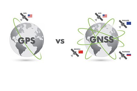
GPS L1C, L1C/A, L2C, L2P(Y), L5
GLONASS G1,G2,G3
GALILEO E1, E5a, E5b, E6
BEIDOU B1I, B2I, B3I, B1C, B2a, B2b

Datasheets and manuals

RECOMMENDED DATA COLLECTORS: 

RECOMMENDED SOFTWARE: 

South ALPS1

End of Year Sale!

Request a Better Price!

SKU: south-alps1 Categories: ,
Brand:South

Global GPS Systems
What Our Clients Say
4.74 store rating (536 reviews) | 4.65 product rating

Ads1

FREE RTK CORRECTIONS - Join the NTRIP CAster

Description

South ALPS1 Product Review

Video Shooting & Laser Measurement for Rapid Data Capture

With video shooting and laser measurement, the ALPS1 captures hundreds of points in minutes, exceeding traditional RTK speeds. It performs remote measurements in areas with weak GNSS signals, such as under rooftops or near obstacles, offering both real-time and stored data options.

Day or Night Operation, Indoors or Outdoors

Ideal for low-light, semi-indoor, or night settings, the ALPS1’s laser functions support precise data collection, making it perfect for applications like accident scene documentation and public facility surveys.

Enhanced Safety for Hazardous Sites

The ALPS1 enhances safety by allowing surveyors to capture data from a distance, ideal for hazardous areas like busy roads or water. Its laser and video functions reduce the need for physical proximity, protecting surveyors on the job.

Laser Stakeout and CAD AR Integration for Precision

With laser stakeout capabilities, the ALPS1 overcomes satellite-blocking obstructions, allowing stakeouts from several meters away. Its dual-camera system integrates CAD for intuitive and accurate target locating.

Versatile Applications for Construction, Forestry, and UAV Mapping

  • Construction: Measures roads, areas, and volumes quickly.
  • Forestry: Calculates tree positions and supports 3D modeling.
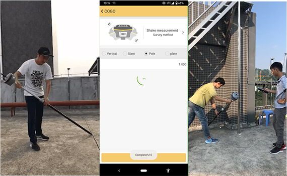
  • UAV Mapping: Complements UAV data for efficient 3D models.
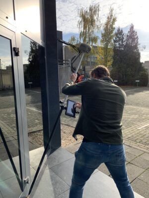
Equipped with South S805 technology for strong GNSS tracking, the ALPS1 delivers reliable, accurate data even in dense settings, making it an ideal tool for surveyors in diverse environments.

Reviews (0)

Reviews

There are no reviews yet.

Only logged in customers who have purchased this product may leave a review.

RTK GNSS With 60° tilt:

GPS & GNSS

South INNO7

RTK GNSS Receivers

Kolida K30

GPS & GNSS

Carlson BRX7

GPS & GNSS

Stonex S990A

42%

GPS & GNSS

Kolida K1 Pro

GPS & GNSS

EFIX F7

RTK GNSS With internet:

GPS & GNSS

South INNO7

RTK GNSS Receivers

Kolida K30

GPS & GNSS

Tersus Oscar

GPS & GNSS

Carlson BRX7

GPS & GNSS

Stonex S990A

42%

GPS & GNSS

Kolida K1 Pro