


Greenvalley LiHawk
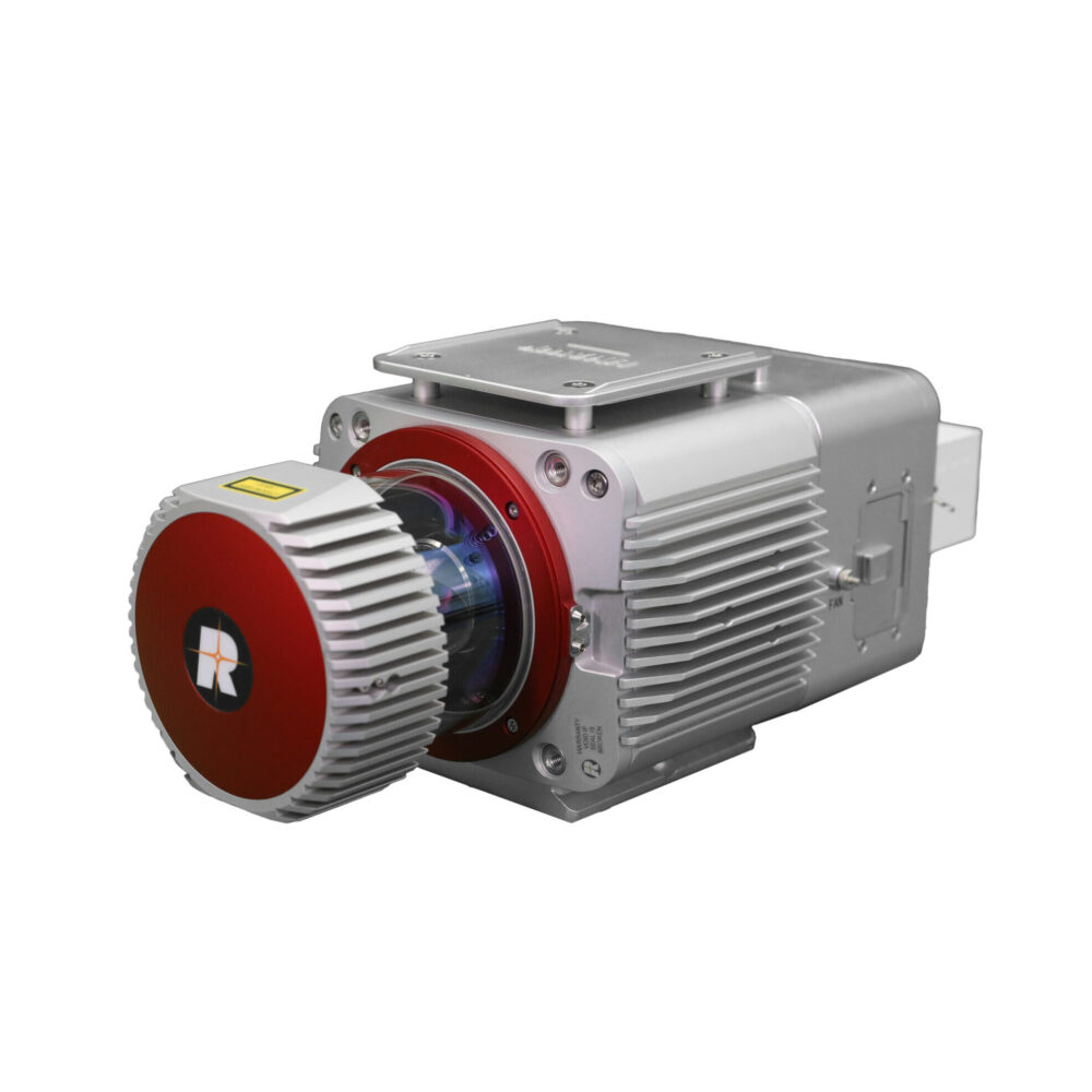
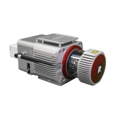
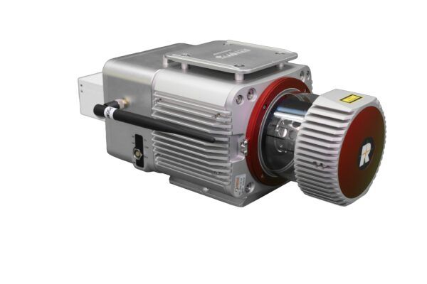
The LiHawk features a Riegl VUX-1LR laser scanner coupled with a best-in class inertial measurement unit (IMU) for a better point cloud accuracy and precision. The LiHawk is designed to be mounted on a fixed-wing airplane platform or a multi-rotor UAV.
LiHawk is comprised of multiple systems. It’s main components include:
- Laser Scanner (LiDAR sensor)
- GNSS (Global Navigation Satellite System)
- IMU (Inertial Measurement Unit)
- System Control and Storage Unit
- Power Supply and Management Unit
LiGeoreference software included
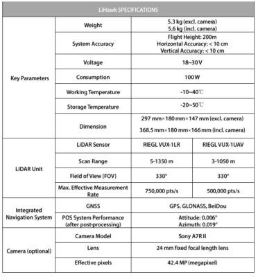
- Max. Measurement Rate: 750,000 pts/sec
- Scan Range: 1,350m at reflectance ≥60%
- Weight: 5.3 kg
Valued customers:


Find RTK Networks
Search NTRIP providers and connect to reliable RTK correction services.
Description
LiHawk is an aerial LiDAR surveying system designed for large area and long-range 3D data collection projects. The system is designed to be mounted to a fixed-wing airplane platform or multi-rotor UAV and features a Riegl VUX-1LR laser scanner coupled with a best-in class inertial measurement unit (IMU) for increased point cloud accuracy and precision. LiHawk is wellsuited for projects aiming to map terrain features beneath forest canopies and extract structural parameters from forest LiDAR data. The centimeter-level accuracy of this measurement device will meet the rigorous accuracy demands of civil engineering and critical infrastructure maintenance professionals. And the high-definition digital camera module can be used to generate photogrammetry products as well as true color 3D point clouds during each LiDAR survey.
Multi-Platform
The system can be mounted on different platforms (e.g.UAV LiAir series or fixed-wing airplane platform) for data collection.
One-Stop Solution Provider
GVI supports self-developed software for data collection, data georeferencing, data post-processing and data analysis. GVI’s Software Suite provides you a one-stop solution without using any other third-party software.
High-Integration
LiHawk is a highly integrated LiDAR system, with only 5.3 kg weight without camera. The system supports an external solid-state drive to store the collected data, which eliminates the time to download data from the system and improves operational efficiency.

Datasheets & Manuals
Datasheets and manuals
Reviews (0)
Only logged in customers who have purchased this product may leave a review.


Reviews
There are no reviews yet