


Share 202S Pro
Login to view pricing or to request a quote
Log in

Request pricing
Limited time offer! 1 year free RTK license with every Lidar or GNSS purchase!
Get a personalised quotation with detailed advise from our experts.

Find RTK Networks
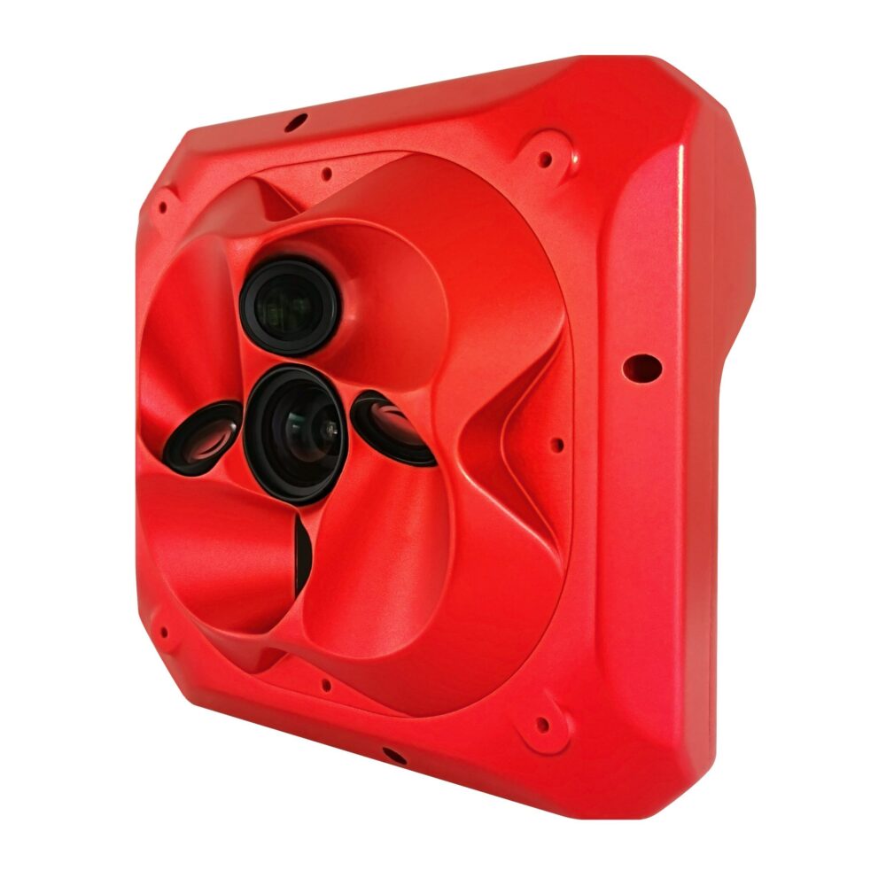
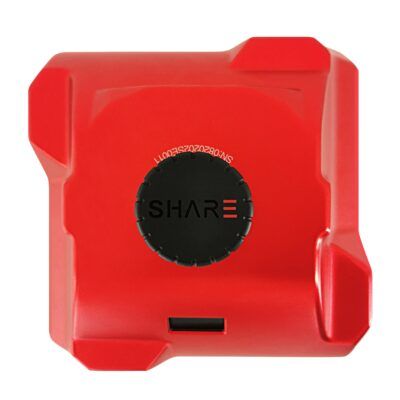
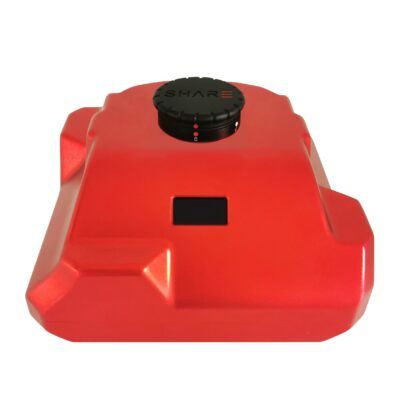
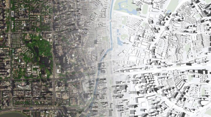
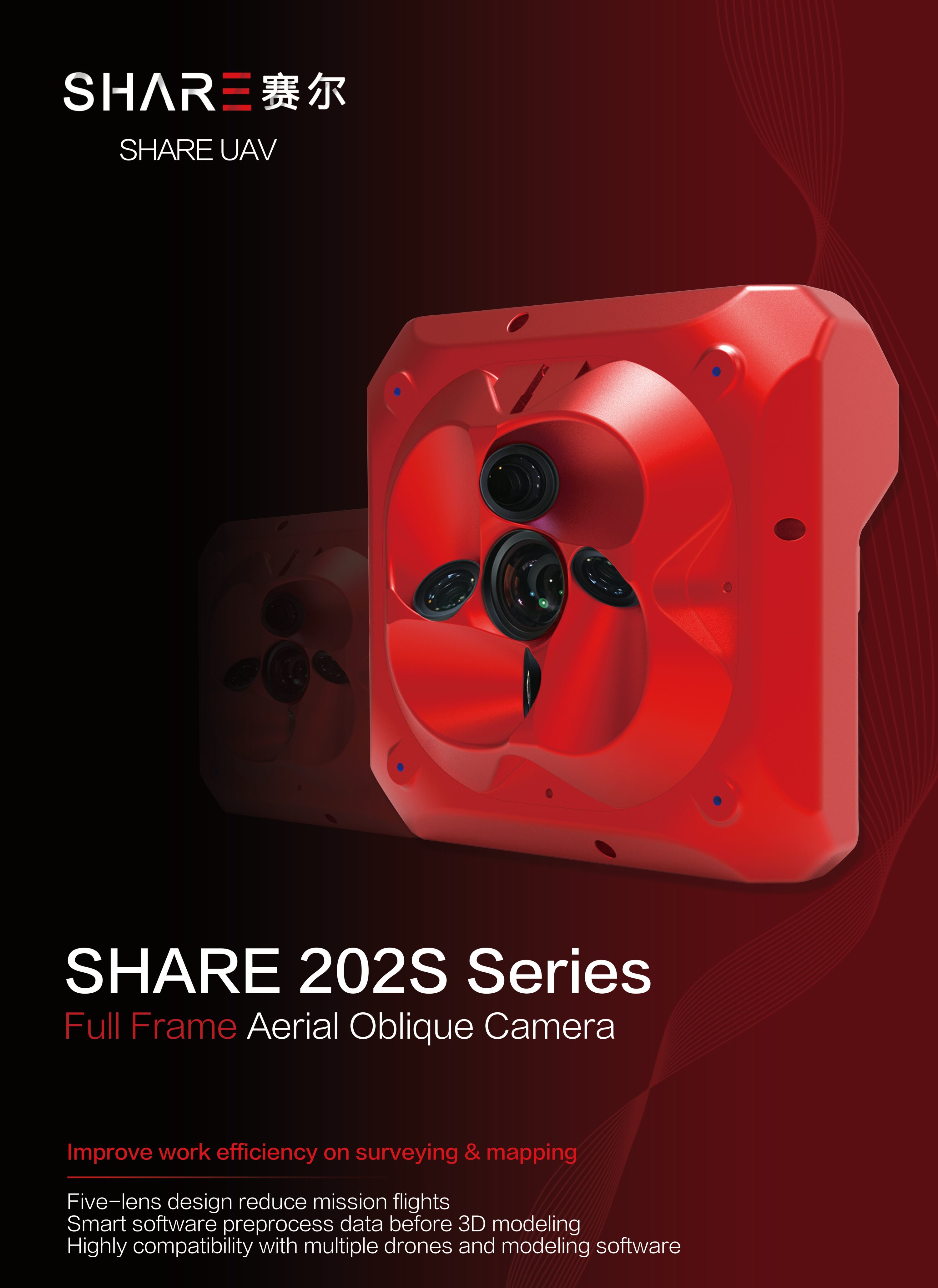
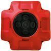
Search NTRIP ProvidersDesigned for urban terrain projects flagship full frame sensor, 210M effective pixels. Retain the rich details of the image, to achieve truly urban data acquisition and restoration. Present the real city scene and help build high quality digital assets. New possibilities for the professional aerial survey. When the GSD is 5cm, the altitude can reach up to 442m. It can easily fly over high obstacles reducing the flying risk during field acquisition. One person to complete entire process GCP free and time synchronised, each camera has its own POS data which allows technology to meet the projects and applications needs. Not a single GCP is needed! Liberate the productivity of site work and truly achieve the efficiency of one person workflow. Professional aerial lens, with a wider field of view and a higher overlap rate. Nadir 40mm real wide angle focal length – This super coverage brings super large aerial film overlap rate allowing for more realistic modelling. The 56mm tilt camera is similar to the human eye and reduces distortion of the
images and fundamentally preventing the model from drawing or deforming. Sufficient 1280GB Data storage, synchronous recording of images and POS.
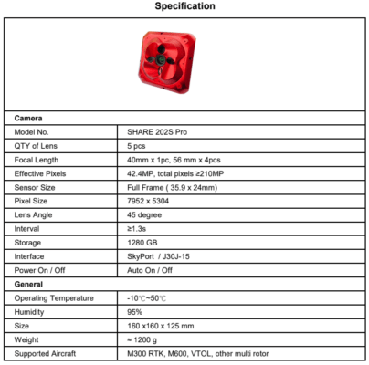
Specifications:
- Lens: 56mm x 4pcs + 40 MM x 1pc
- Pixels: 42.4MP, total in 210MP
- Interface: SkyPort, J30J-15, Type-C
- Weight: 1150g
- Size: 160 x 160 x 125mm
- Storage: 1280GB
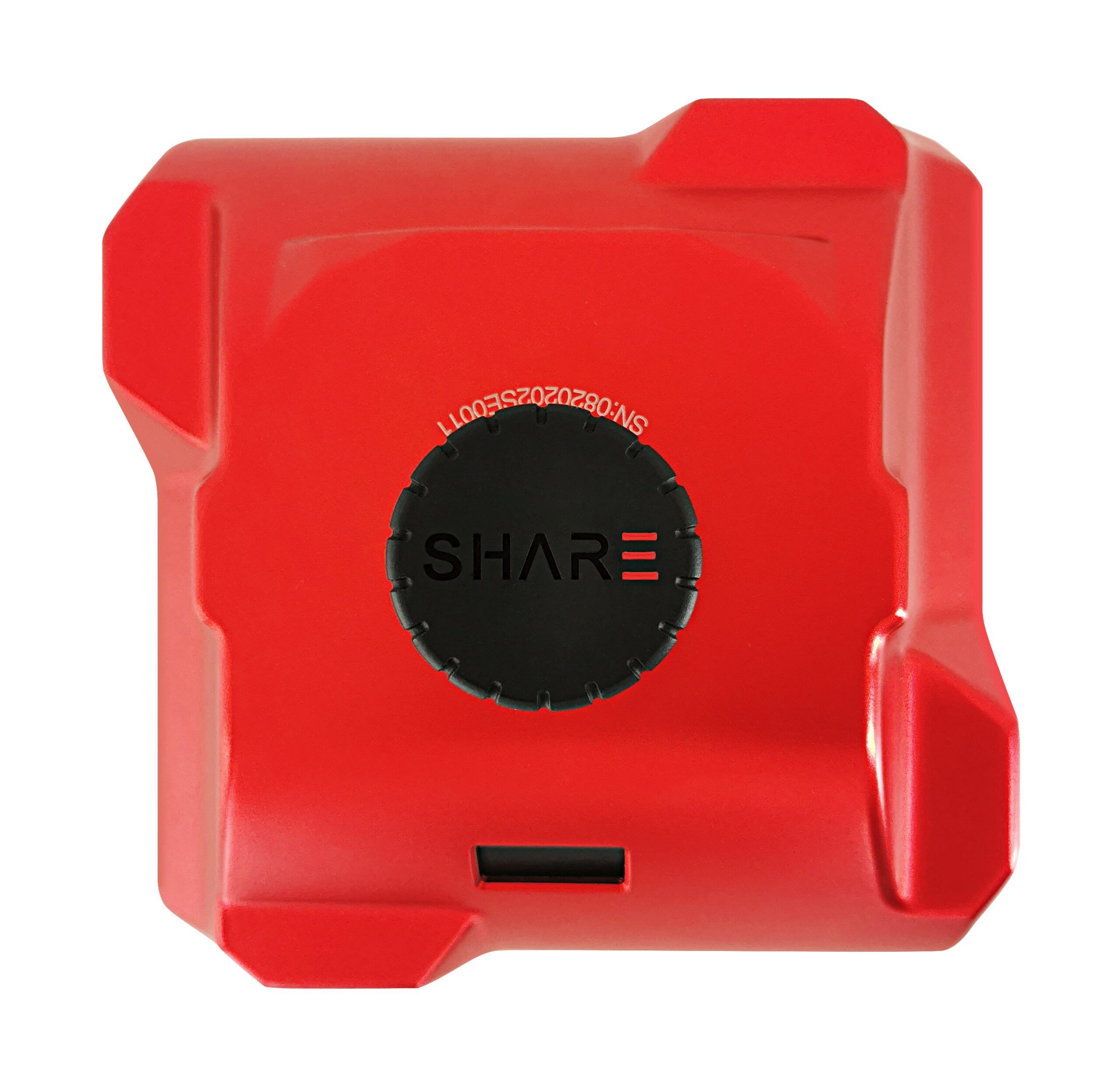
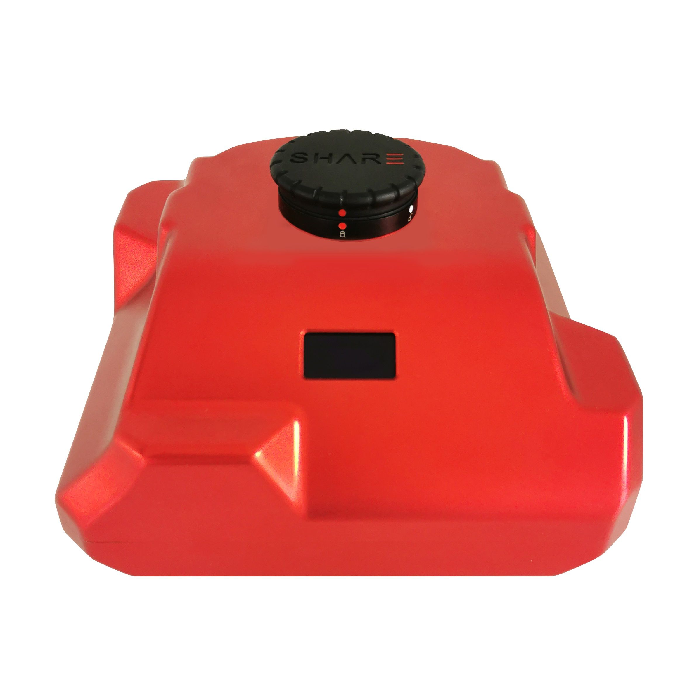
- Software: SHARE Data Manager
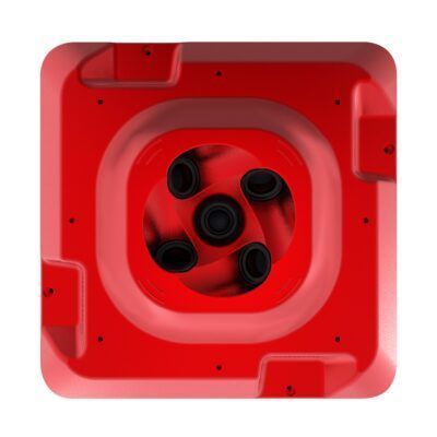
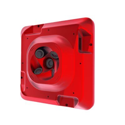
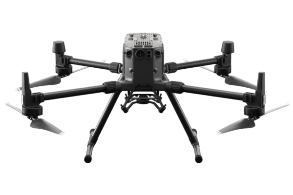
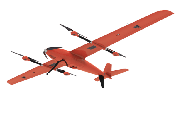
- Compatibility: M210 RTK, M300 RTK, M600, Multi rotor, VTOL
Included in package:
- 1x Oblique camera
- 1x Storage box
- 1x Glimbal cover
- 1x Data storage module
- 1x Data reading module
- 1x Data cable
- 1x Camera cable
- 2x Cleaning cloth
- 1x User manual
Datasheets and manuals
You may also like…
UAV accessories
Login to view pricing or to request a quote
Log in
Valued customers:


Share 202S Pro
Login to view pricing or to request a quote
Log in
Request pricing
Limited time offer! 1 year free RTK license with every Lidar or GNSS purchase!
Get a personalised quotation with detailed advise from our experts.

Worldwide Shipping From The Netherlands
100% Shipping Insurance on Damage and Loss
Experts in Import / Export / Tax and Duties
Premium Support from Product Experts


Reviews
There are no reviews yet.