

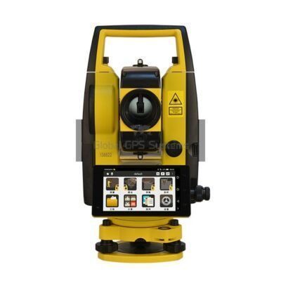
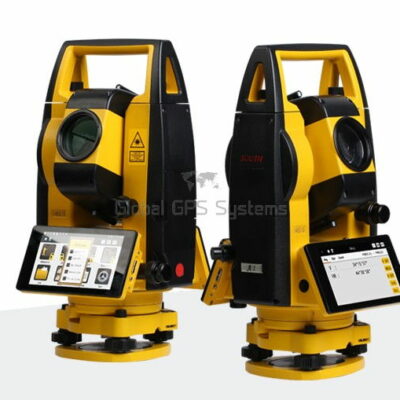
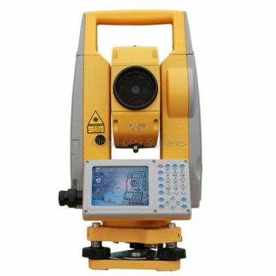
Total Station
Choosing the Right Software for Your Total Station
Total stations are a type of surveying equipment that are used to measure angles and distances in order to determine the precise location of a point on the earth’s surface. These devices use a combination of electronic and optical technology, including specialized software, to accurately measure and record data.
In this article, we will explore the different types of software that total stations use and how they are used in surveying.
1. Surveying Software
The primary software used in total stations is surveying software.
Surveying software is used to collect and process data from the total station. Surveyors can use this software to input data from the total station, such as angles and distances, and the software will then process the data and convert it into a useful format, such as coordinates. Surveying software also allows surveyors to edit and clean up the data, ensuring that it is accurate and reliable.
Once the data is processed and cleaned up, surveyors can use the software to create deliverables, such as maps and drawings. Surveying software often includes features such as data analysis, which allows surveyors to perform calculations and make measurements. Surveyors can also use the software to create 3D models and point clouds, which can be used in construction and engineering projects.


2. CAD Software
Another type of software used in total stations is CAD software.
CAD software is used to create detailed drawings and maps of the surveyed area. Surveyors can use this software to input data from the total station, such as coordinates, and the software will then create a map or drawing of the area. CAD software also allows surveyors to add additional information to the map or drawing, such as labels, annotations, and symbols.
CAD software is particularly useful for construction and engineering projects, as it allows surveyors to create detailed plans and designs. Surveyors can also use the software to create 3D models and point clouds, which can be used to visualize the project in a more realistic way.
some popular cad software solutions for total stations

3. GIS Software
GIS (Geographic Information System) software is also used in total stations.
GIS software is used to create digital maps and analyze data in a geographic context. Surveyors can use this software to input data from the total station, such as coordinates, and the software will then create a map of the area. GIS software also allows surveyors to add additional information to the map, such as labels, annotations, and symbols.
GIS software is particularly useful for large-scale projects, as it allows surveyors to analyze and visualize data in a geographic context. Surveyors can use the software to perform calculations, such as determining the area or volume of a particular feature, and to make measurements. GIS software also allows surveyors to create 3D models and point clouds, which can be used to visualize the project in a more realistic way.
4. Data Management Software
In addition to the above software, total stations also use data management software.
Data management software is used to store, organize, and manage the data collected by the total station. Surveyors can use this software to input data from the total station, such as coordinates, and the software will then store the data in a secure and organized format. Data management software also allows surveyors to easily share and collaborate on the data with other team members and clients.
Data management software is particularly useful for large-scale projects, as it allows surveyors to store and manage large amounts of data. Surveyors can also use the software to perform data analysis and to create reports and deliverables.
5. Cloud-Based Software
Finally, many total stations now use cloud-based software.
Cloud-based software is used to access and share data from anywhere. Surveyors can use this software to input data from the total station, such as coordinates, and the software will then store the data in the cloud. Cloud-based software also allows surveyors to easily share and collaborate on the data with other team members and clients, regardless of their location.
Cloud-based software is particularly useful for remote or fieldwork, as it allows surveyors to access and share data in real-time. Surveyors can also use the software to perform data analysis and to create reports and deliverables.
In conclusion, total stations use a variety of software to accurately measure and record data, create detailed maps and drawings, analyze and visualize data in a geographic context, store and manage data, and share and collaborate on data in real-time. These software options include surveying software, CAD software, GIS software, data management software, and cloud-based software. Each of these software options serves a specific purpose and can be used in conjunction with one another to provide the most accurate and comprehensive data possible.
What to Look for When Choosing a Total Station Software
When choosing a total station software, it is important to consider the specific needs and requirements of your project. Some factors to consider include:
1. Compatibility
Ensure that the software is compatible with your total station and that it can import and export data in a format that is compatible with your other software. It is important to check if the software is compatible with Windows or Android operating systems, this will save you a lot of time and money.
2. Data Processing and Analysis
Consider the software’s data processing and analysis capabilities. Ensure that it can perform the calculations and measurements that you need and that it can create the deliverables that you require. Also, check if the software can handle large datasets, this will be important if you are working on large-scale projects.
3. User-Friendliness
Choose software that is easy to use, even for those who are not experts in the field. The software should be intuitive and have a user-friendly interface, this will make it easier for your team to use and reduce the amount of time spent on training.
4. Technical Support
Look for software that comes with good technical support. This will be important if you encounter any issues with the software and need assistance troubleshooting.
5. Cost
Consider the cost of the software and ensure that it fits within your budget. Also, consider the long-term costs, such as updates and maintenance, as these can add up over time.
Conclusion
When choosing a total station software, it is important to consider the specific needs and requirements of your project, ensure compatibility, consider data processing and analysis capabilities, user-friendliness, technical support, and cost-effectiveness. By considering these factors, you can ensure that you choose the right software for your project and that it will meet your needs and help you to be more efficient and productive.