Stonex S700A Product Review
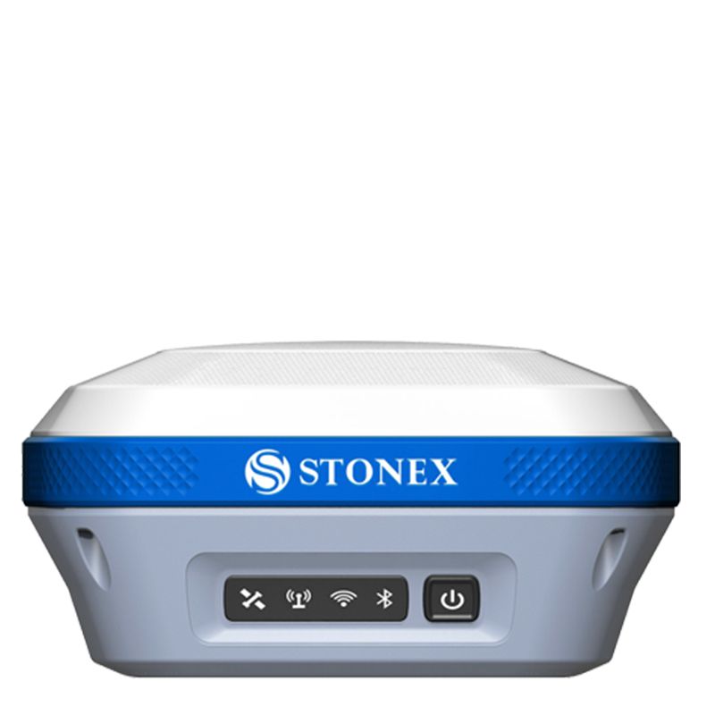
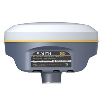
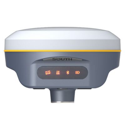
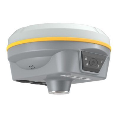
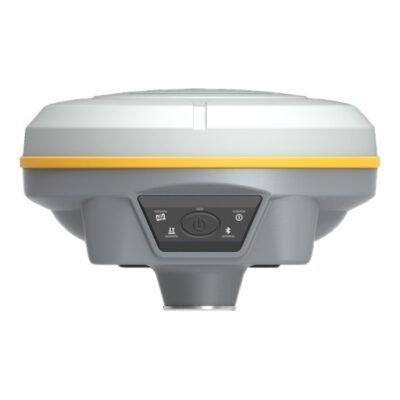
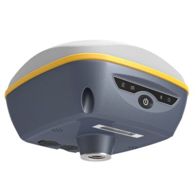
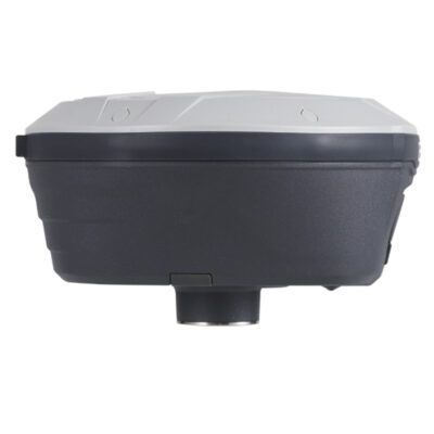
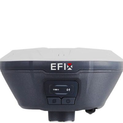
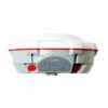
Stonex S700A is a compact, high-performance GNSS receiver features a multi constellation 700 channels GNSS board.
S700A supports GPS, GLONASS, BEIDOU, GALILEO, QZSS and IRNSS. S700A supports also L-Band correction.
The unique internal antenna combines GNSS, Bluetooth and Wi-Fi integrated modules to optimize space and increase performance. This technology provides stronger and cleaner signal monitoring, which means unprecedented results. Designed for all day use in surveying application, S700A includes several features: Linux Operating System, WEB UI interface, 4G Modem, high battery capacity, Type-C connector and IP67 certification.
Stonex S700A GNSS receiver, thanks to aRTK function and Atlas® correction service is an ideal solution for any surveying field work and in particular difficult areas. Atlas® delivers world wide centimetre level correction data through L-band communication satellites.
MULTI CONSTELLATION
Stonex S700A with its 700 channels, provides an excellent on board real time navigation solution with high accuracy. All GNSS signals (GPS, GLONASS, BEIDOU, GALILEO, QZSS and IRNSS) are included.
WEB UI CONTROL
To initialize, manage, monitor the settings of the receiver and to download data using portable or PC, smartphone or tablet with Wi-Fi capability.
NEW BATTERY AND TYPE-C
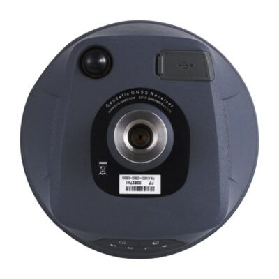
Stonex S700A is delivered with a large capacity lithium battery that gives you up to 9 hours working. It is also equipped with Type-C connector.
4G MODEM
S700A has an internal 4G modem that operates with all world signals.
RUGGED
With IP67 Certification Stonex S700A will ensure operations in various kinds of extremely tough environments.
Stonex S700A Key features
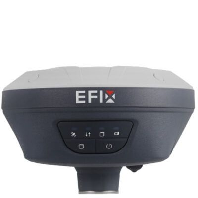
- RTK Enabled for 1-2cm accuracy. Compatible with RTK FIX
- 700 channels
- GPS, Glonass, Galileo, Beidou, QZSS and IRNSS
- 4G Mobile data
Stonex S700A Applicable industries
This receiver can be used in all applications where a centimetre accurate position is needed:
- Surveying
- GIS applications
- Earthworks
- Roadworks
- Construction
Rover setup
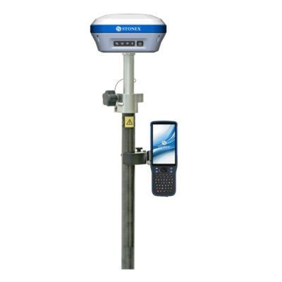
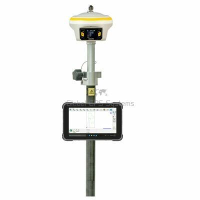
When using this device in a rover configuration you may need the following accessories besides the receiver itself
- RTK Correction service. To achieve centimetre accuracy your receiver will need RTCM correction data so it can calculate your exact position. Without an RTK provider your receiver won’t be able achieve a 1-2 centimetre accuracy.
- Surveying software. Your receiver provides you with the coordinates you need but you still need surveying software in order to process this information. Which software you need depends on your needs. We recommend keeping it simple and don’t pay for things you don’t need. Having that said, if you do have to do complicated surveying work make sure you get the right software. Some recommended options are Carlson, Aplitopand FieldGenius. If you need help, feel free to contact us by phone or via the chat below!
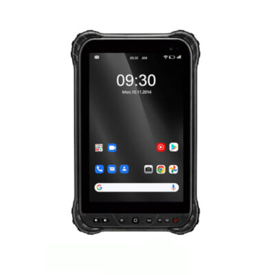
- Data collector. You might need a tablet or controller to run your software on. The type of tablet depends on which software you have choosen as some are Android based and some are Windows.
- Bracket and Holders. These are used to connect your tablet to your surveying pole so the whole set is easier to handle.
- Surveying pole. In order to get the best performance out of your receiver you want to minimise the disturbances around you and give it a clear sight to the satellites above. That why its recommended attaching your receiver on a 2 meter minimum surveying pole. These come in fixed rods and in telescopic rods.
Rover Base setup
When you don’t have access to an RTK network you might have to setup your own base station in order to receive corrections. These are the accessories you might need besides the receiver itself:
- A second RTK GNSS receiver. preferably from the same brand. If you already have another one, then make sure they run on the same frequency.
- Surveying software. Your receiver provides you with the coordinates you need but you still need surveying software in order to process this information. Which software you need depends on your needs. We recommend keeping it simple and don’t pay for things you don’t need. Having that said, if you do have to do complicated surveying work make sure you get the right software. Some recommended options are Apglos, Carlson, Aplitop and FieldGenius. If you need help, feel free to contact us by phone or via the chat below!
- Data collector. You might need a tablet or controller to run your software on. The type of tablet depends on which software you have choosen as some are Android based and some are Windows.
- Bracket and Holders. These are used to connect your tablet to your surveying pole so the whole set is easier to handle.
- Surveying pole. In order to get the best performance out of your receiver you want to minimise the disturbances around you and give it a clear sight to the satellites above. That why its recommended attaching your receiver on a 2 meter minimum surveying pole. These come in fixed rods and in telescopic rods.
- Tripod and Tribrach. These are needed to setup your base station with the second receiver. The Tripod gives good stability so errors in sudden movements of the base station are avoided.
- External Radio. Most RTK GNSS receiver have an internal UHF radio build in. However, sometimes the power output is not strong enough to give you the workable distance you need and an external radio required. Internal radios can go up to 3 Watts that can work up to 8km. External radios can easily achieve 35 Watt outputs, thereby increasing your working range.



















Reviews
There are no reviews yet.