


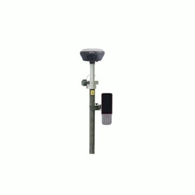
Introduction to GNSS IMU Systems
GNSS IMU systems are highly advanced devices that provide accurate and reliable navigation and positioning [...]
Jan

The Total Station: A Brief History and Development
Total station technology has been a game-changer in the field of surveying and construction. From [...]
Jan

GNSS Constellations: How They Work and How They Improve GPS
Global Navigation Satellite Systems (GNSS) are systems that use satellites in order to provide location [...]
Jan
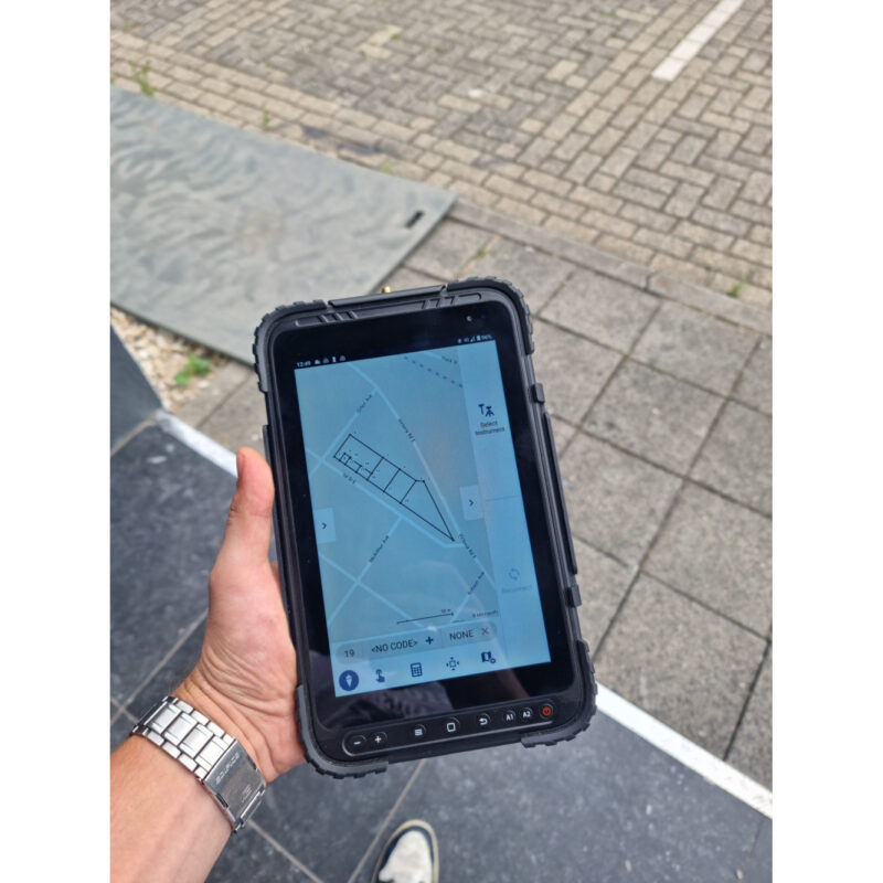
GPS Help Guide – What Are GPS Rover Sets?
A GPS Rover set is basically all you need to practice your surveying job. Of [...]
Dec
GPS Help Guide – What Is The Best Land Surveying Software?
We understand that with all the land surveying software for GPS on the market these [...]
Dec
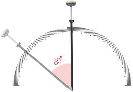
What is a Theodolite
A theodolite is a precision instrument that is used to measure angles in the horizontal [...]
Dec

Choosing the Right Software for Your Total Station
When choosing a total station software, it is important to consider the specific needs and [...]
Nov

NTRIP, NTRIP Client and NTRIP Caster: How Do They Work
In this article we explore the whole process of NTRIP, NTRIP Client, and NTRIP Caster [...]
Nov

Land Surveying: Understanding the Science of Measuring and Mapping Land
Land surveying is the science and technology of measuring and mapping land. It involves the [...]
Oct