

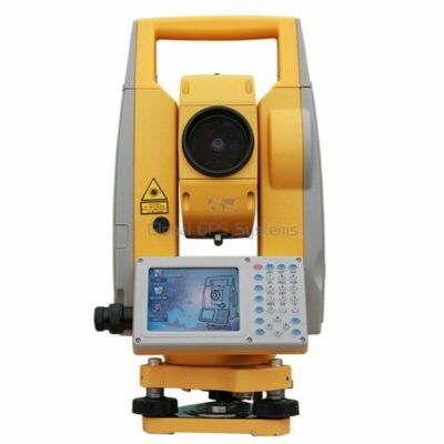
Total Station
The Total Station: A Brief History and Development
Introduction
Total station technology has been a game-changer in the field of surveying and construction. From its humble beginnings to its current state-of-the-art technology, the total station has come a long way. In this article, we will explore the history and development of total station technology, and how it has revolutionized the industry.
The Origins of Total Station Technology
The history of total station technology can be traced back to the early 1900s, when the first electronic distance measuring (EDM) instruments were developed. These instruments used a beam of light to measure distances between two points, and were primarily used in land surveying.
However, it wasn’t until the 1970s that the first true total station was developed. This instrument combined the EDM technology with a theodolite, which is an instrument used to measure angles, to create a complete surveying system.
The First Total Stations
The first total stations were large and bulky, and required a separate data collector to store the data. They were also expensive, making them out of reach for many surveyors.
Despite these limitations, total stations quickly became popular among surveyors due to their accuracy and efficiency. They were able to measure both horizontal and vertical angles, as well as distances, which greatly improved the speed and accuracy of surveys.
The Development of Robotics
In the 1980s, total station technology took a major leap forward with the development of robotics. This new technology allowed total stations to be controlled remotely, eliminating the need for a separate data collector.
Robotic total stations also allowed for greater flexibility, as surveyors could now measure angles and distances from a distance. This made it possible to survey difficult-to-reach areas, such as the tops of tall buildings or bridges.
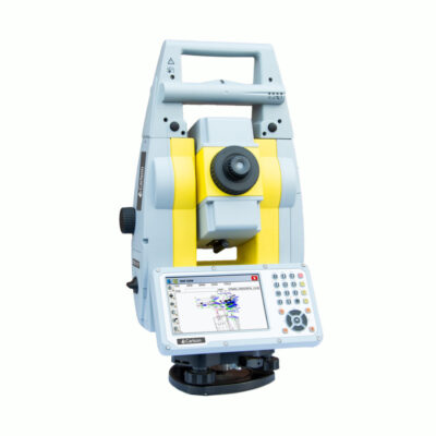
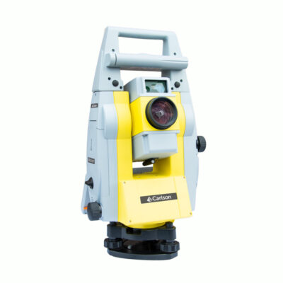
some popular robotic total stations
Total Stations
The Advancement of Technology
Over the years, total station technology has continued to evolve. Today’s total stations are smaller, lighter, and more affordable than ever before. They also have a wide range of features, such as built-in GPS and 3D modeling capabilities.
One of the most significant advancements in total station technology is the integration of laser scanning. This allows surveyors to quickly and accurately capture large areas of data, such as entire buildings or landscapes.
Applications of Total Stations in Land Surveying and Mapping
-
Topographical Surveys: Total stations are widely used in topographical surveys, which involve mapping the natural and man-made features of the land. They are used to measure elevations, distances, and angles between points, which are then used to create detailed maps of the land.
-
Construction Surveys: Total stations are also widely used in construction surveys, which involve the measurement and mapping of the land for construction projects. They are used to determine the location of buildings, roads, and other structures, as well as to calculate land area and volume.
-
Boundary Surveys: Total stations are also used in boundary surveys, which involve determining the location and extent of property boundaries. They are used to measure angles and distances between points, which are then used to create maps that show the location of property lines.
-
Engineering Surveys: Total stations are also used in engineering surveys, which involve the measurement and mapping of the land for engineering projects. They are used to determine the location of roads, bridges, and other structures, as well as to calculate land area and volume.
-
GIS Surveys: Total stations are also used in GIS (Geographic Information System) surveys, which involve the collection and analysis of geographic data. They are used to measure angles and distances between points, which are then used to create maps and databases that can be used for a variety of purposes, such as land management, planning, and resource management.
-
3D Modeling: Total stations are also used in 3D modeling, which involves creating a digital representation of the land in three dimensions. They are used to measure angles and distances between points, which are then used to create detailed 3D models of the land.
Benefits of Total Stations in Land Surveying and Mapping
-
Increased Accuracy: Total stations provide increased accuracy in land surveying and mapping, as they are able to measure angles and distances with high precision. This ensures that the data obtained is accurate and reliable, which is essential for making informed decisions about land use and development.
-
Reduced Costs: Total stations can help reduce costs in land surveying and mapping, as they are efficient and require minimal maintenance. This can help save time and money, which can be used to fund other aspects of the project.
-
Increased Productivity: Total stations can help increase productivity in land surveying and mapping, as they are easy to use and can cover large areas of land quickly. This can help ensure that the project is completed on time and within budget.
-
Increased Safety: Total stations can help increase safety in land surveying and mapping, as they are able to measure angles and distances without the need for manual calculations. This reduces the risk of human error, which can help prevent accidents and injuries.
-
Increased Flexibility: Total stations can help increase flexibility in land surveying and mapping, as they can be used in a variety of applications, including land surveying, engineering, construction, and mapping. This makes them ideal for use in a wide range of industries.
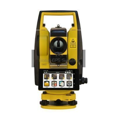
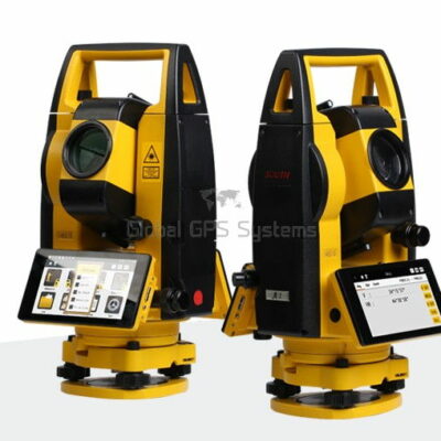
some popular manual total stations
Total Stations
Manual total stations
The Future of Total Station Technology
The future of total station technology looks bright, with many new innovations on the horizon. Some of the most exciting developments include:
- The use of artificial intelligence (AI) to improve accuracy and efficiency
- The integration of virtual and augmented reality technology for improved visualization of data
- The use of cloud technology for seamless data sharing and collaboration
- The integration of drones and other unmanned aerial vehicles (UAVs) for surveying and mapping large areas. This technology, known as UAV mapping or drone surveying, allows surveyors to capture high-resolution aerial images and 3D models of large areas in a fraction of the time it would take to survey the same area using traditional methods.
- The use of mobile apps and cloud-based software for data collection and analysis. This technology allows surveyors to collect data in the field using mobile devices, such as smartphones and tablets, and then analyze and share the data in real-time using cloud-based software. This greatly improves the speed and efficiency of data collection and analysis.
- The integration of BIM (Building Information Modeling) technology. This technology allows surveyors to create 3D models of buildings and other structures, and then use the models to analyze and plan construction projects. BIM technology also allows surveyors to share data with other stakeholders, such as architects, engineers, and construction managers, which improves collaboration and helps to ensure that projects are completed on time and within budget.
It is important to note that while total station technology has advanced dramatically over the years, it is still a relatively niche technology that is primarily used by surveyors and construction professionals. However, with the increasing popularity of 3D mapping, UAVs, and BIM technology, it is likely that total station technology will become more widely used in other industries as well.
One example of this is the use of total station technology in the field of archaeology. Archaeologists use total stations to create detailed maps of ancient ruins, which can help them to better understand the history and significance of the site. Similarly, total station technology is also used in the field of civil engineering to create detailed maps of infrastructure, such as roads, bridges, and dams, which can help engineers to plan and design new projects.
Consclusion
Total station technology has come a long way since its origins in the early 1900s. From the first bulky and expensive total stations to the state-of-the-art instruments of today, the total station has revolutionized the field of surveying and construction. With many new innovations on the horizon, the future of total station technology looks bright, and we can expect to see even more advancements in the years to come. As the technology is becoming more accessible, it will be increasingly used in many other industries such as archaeology, civil engineering, and topography.