GNSS
How Does Land Surveying Work: Understanding the Basics
Introduction
If you’re a property owner, developer, or just someone interested in the field of land surveying, it’s important to understand the basics of how it works. Land surveying is the process of determining the precise location of natural and man-made features on the earth’s surface. It is used to establish property boundaries, plan construction projects, and even to create maps and legal documents.
What Does a Land Surveyor Do?
A land surveyor is a professional who is trained to accurately measure and document the location of natural and man-made features on a piece of land. They use a variety of tools and techniques to gather data, including traditional surveying instruments such as total stations and transit levels, as well as modern technology like GPS and GIS systems.
Once the data is collected, the surveyor will analyze it and create a map or document that shows the location of the various features on the land. This map or document, known as a survey, is used for a variety of purposes, including determining property boundaries, creating legal documents, and planning construction projects.
Types of Land Surveying
There are several different types of land surveying, each with its own specific purpose and set of techniques. Some of the most common types include:
-
Boundary Surveying: This type of surveying is used to determine the precise location of a property’s boundaries. It is often used to create legal documents such as deeds and to settle disputes over property lines.
-
Topographic Surveying: This type of surveying is used to create detailed maps that show the contours of the land, as well as natural and man-made features such as buildings, roads, and bodies of water. It is often used in planning construction projects and for environmental assessments.
-
Construction Surveying: This type of surveying is used to establish the location of a construction project on a piece of land. It is used to ensure that the project is built in the correct location and that it meets all local zoning and building regulations.
-
Geographic Information Systems (GIS) Surveying: This type of surveying uses computer technology to create digital maps and databases of a property’s features. It is commonly used in urban planning, natural resource management and emergency management.
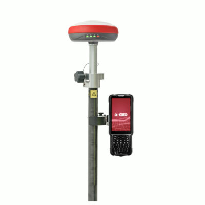
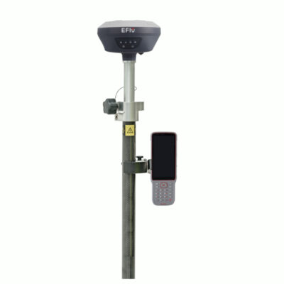
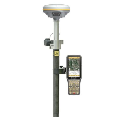
popular gps receivers for land surveying
The Importance of Land Surveying
Land surveying plays a crucial role in many aspects of our daily lives. It is used to determine property boundaries, plan construction projects, and create maps and legal documents. Without accurate land surveying, it would be impossible to develop land safely and efficiently, or even to know who owns what property.
In addition, land surveying is also important in protecting the environment. By creating accurate maps and identifying natural features such as wetlands, floodplains and other sensitive areas, land surveyors can help ensure that development occurs in a way that minimizes impact on the environment.
Furthermore, the field of land surveying is also constantly evolving with new technology and techniques. With the use of Global Positioning Systems (GPS) and Geographic Information Systems (GIS), land surveyors can now create highly accurate and detailed maps and 3D models. This technology can be used to monitor land changes, detect potential hazards and plan for future development.
The History of Land Surveying
Land surveying has a long and interesting history dating back to ancient civilizations. The ancient Egyptians, Greeks, and Romans all developed methods for measuring land and creating maps. The earliest known land survey was created in ancient Egypt around 2500 BC, using simple tools such as ropes and stakes to measure the land.
During the Middle Ages, land surveying was primarily used to divide land among nobles and the Church. With the invention of the compass and other surveying instruments in the 16th and 17th centuries, land surveying became more accurate and scientific.
In the 18th and 19th centuries, land surveying played a crucial role in the expansion of the United States. Surveyors were responsible for mapping and dividing the western frontier, and their surveys were used to create legal documents such as patents and deeds.
Today, land surveying continues to evolve with the use of advanced technology such as GPS and GIS, making it more accurate and efficient than ever before.
The Steps Involved in a Land Survey
The process of land surveying can be broken down into several steps:
-
Research: The first step in a land survey is to research the property and gather all necessary information such as deeds, plats, and other legal documents. This research will help the surveyor understand the property’s history and any potential issues that may need to be addressed.
-
Field Work: The next step is to conduct field work. This involves physically going to the property and collecting data using surveying instruments such as total stations, transit levels, and GPS equipment. The surveyor will also take detailed notes and photographs of any features on the property.
-
Data Processing: Once the field work is complete, the surveyor will process the data collected. This involves analyzing the data and creating a map or document that shows the location of the various features on the property.
-
Report Preparation: The surveyor will then prepare a report that summarizes the findings of the survey. This report will include a map or document that shows the location of the various features on the property and any other relevant information such as property boundaries, dimensions, and elevations.
-
Review and Approval: The final step is to review and approve the report. This may involve getting the surveyor’s report approved by local authorities, or by the property owner or developer.
It is worth noting that each project is unique, and the steps and time frame may vary depending on the type of survey, project and location.
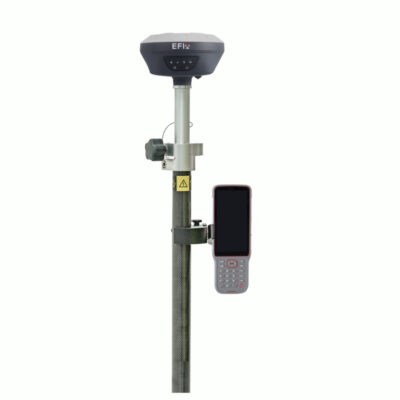
some popular gps rover sets with everything included to start surveying
Conclusion
Land surveying is a complex and important field that plays a vital role in the development and management of our land. From determining property boundaries to planning construction projects, land surveying is essential for ensuring that our land is used safely and efficiently. Understanding the steps involved in a land survey, the importance of choosing a licensed and experienced surveyor, and the potential costs associated with a survey are all important for making informed decisions about your property. Whether you’re a property owner, developer, or just someone interested in the field of land surveying, it’s important to have a basic understanding of how it works.


