

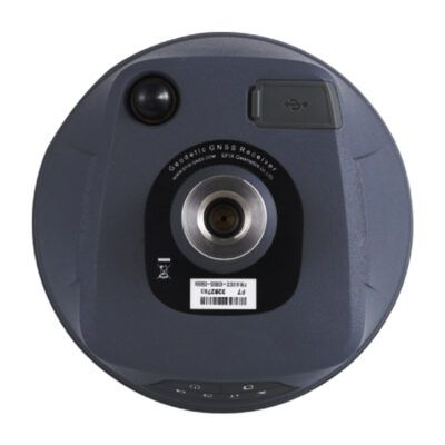
South Insight V3
Login to view prices
Click here to login or register

Worldwide Shipping From The Netherlands
100% Shipping Insurance on Damage and Loss
Experts in Import / Export / Tax and Duties
Premium Support from Product Experts
Buyers Protection and Warranty on all Products
Need Help? Call us!
+31 (0)35 205 7939
South Insight V3
Login to view prices
Click here to login or register
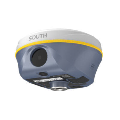
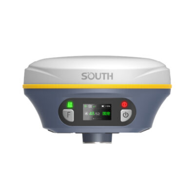
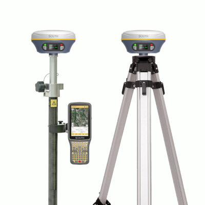
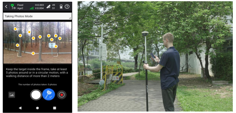
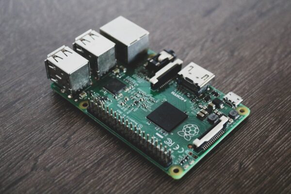
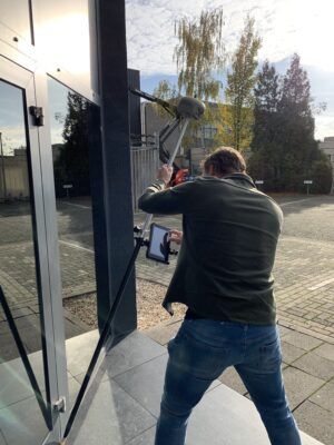
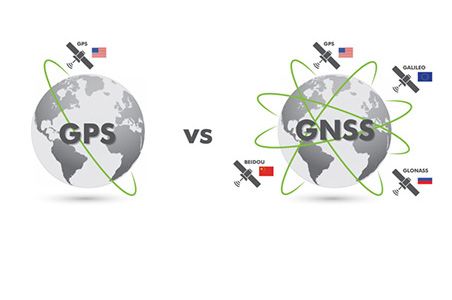
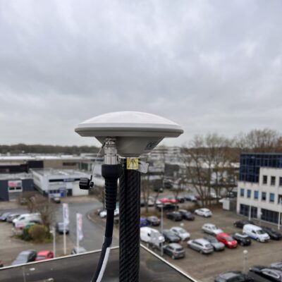
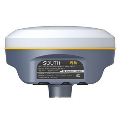
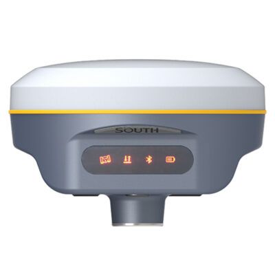
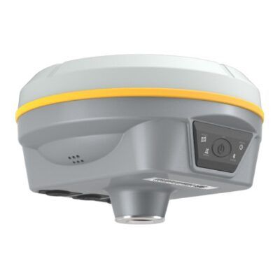
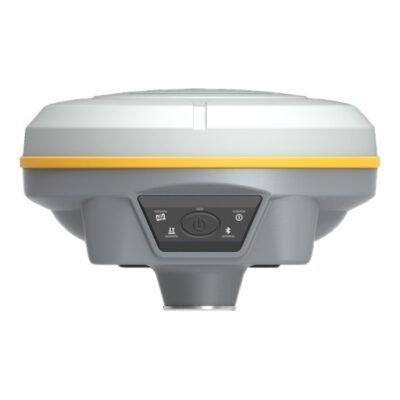
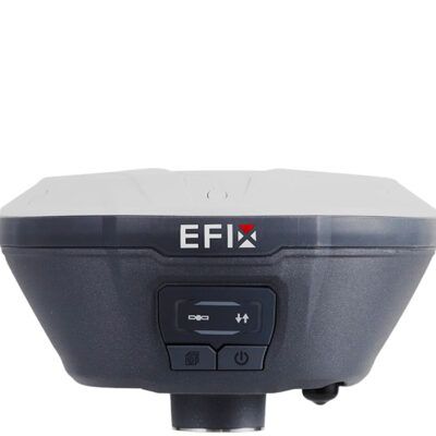
Introducing the INSIGHT V3, a cutting-edge GNSS receiver that redefines productivity and performance. Equipped with 1698 channels, the INSIGHT V3 excels in tracking more satellites and weak signals, ensuring rapid fixed solutions even in dense forests and urban environments. Experience unprecedented efficiency with its Dual Camera AR Stakeout, allowing seamless point, line, and curve stakeouts using both front and bottom cameras. The INSIGHT V3’s innovative dual-engine GNSS positioning algorithms correct errors in real-time under challenging conditions, while the enhanced Farlink 2.0 radio guarantees stable data transmission over distances up to 12 km. With the latest IMU update, maintain smooth workflow during AR stakeout and 3D modeling without losing inertial-measurement usability. Elevate your geospatial tasks with the INSIGHT V3, the new pop star in GNSS technology, boasting five new features for unparalleled productivity.
| 1698 | |
| 60º | |
| 4G | |
| 410 – 470MHz | |
| GPS | L1, L1C, L2C, L2P, L5 |
| GLONASS | G1, G2, G3 |
| GALILEO | E1, E5A, E5B, E6C, AltBOC* |
| BEIDOU | BDS-2: B1I, B2I, B3I BDS-3: B1I, B3I, B1C, B2a, B2b* |
You may also like…
GPS receivers
Click here to login or register

GPS receivers
Click here to login or register


Reviews
There are no reviews yet.