


The Differences Between .DXF and .DWG Files
When it comes to computer-aided design (CAD) software, two file formats stand out: .DXF and [...]
May
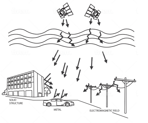
Overcoming Signal Interference in GPS Land Surveying
Signal interference is a major challenge in GPS land surveying that can cause significant errors [...]
May
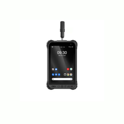
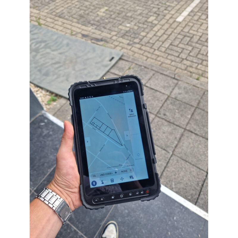
Rugged Android Tablet with GPS: Your Ultimate Solution for Tough Environments
A rugged Android tablet with GPS is a valuable tool for businesses and individuals who [...]
May

How Does a GPS Receiver Determine the Distance Between You and the Satellites?
GPS receivers use a process called trilateration to determine the distance between the user and [...]
Apr

How to Survey Your Own Property with GPS: A Step-by-Step Guide
Surveying your own property with GPS can be a cost-effective and efficient way to get [...]
Mar

Understanding UHF Radios: Frequencies, Uses, and Differences from VHF
UHF radios are an important tool for many industries, including transportation, construction, security, and emergency [...]
Mar
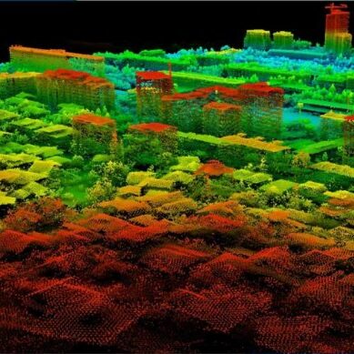
Understanding Lidar Software: Applications, Features, and Benefits
Lidar software is a crucial component of Lidar technology, enabling users to process and analyze [...]
Feb
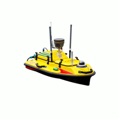
Exploring the Benefits of Hydrographic Surveying with Unmanned Surface Vehicles: A Guide to Choosing the Right USV
The use of USVs in hydrographic surveying is rapidly expanding, offering a safer, more efficient, [...]
Feb
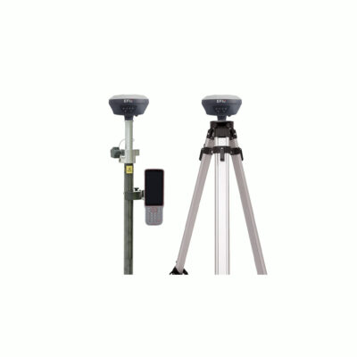
GPS Accessories for Surveying: The Must-Have Tools for Accurate Results
The advancements in technology have made GPS accessories more affordable and accessible. Today, there are [...]
Feb
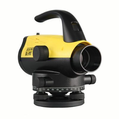
Levellers for Surveying: What They Are and How They Work
Levelling is a key aspect of land surveying that involves measuring the height difference between [...]
Feb