

Greenvalley LiDAR360 Software
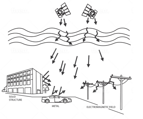
Find RTK Networks
Search NTRIP providers and connect to reliable RTK correction services.
Point Cloud Post-Processing Software
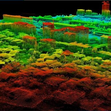
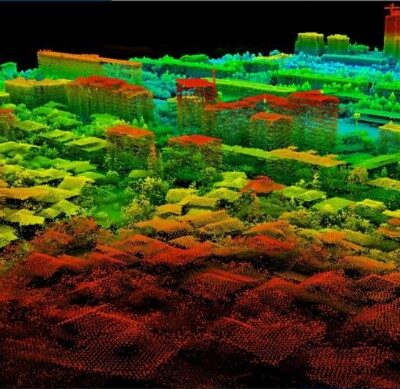
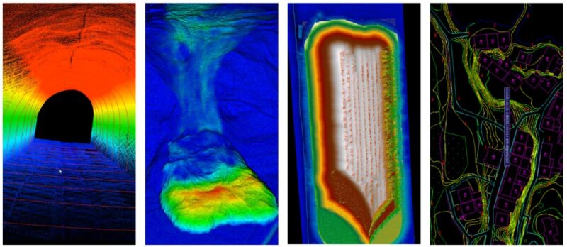
LiDAR360 is a comprehensive point cloud post-processing software that includes a variety of toolsets to efficiently visualize, manipulate and generate meaningful geospatial products from point cloud data.
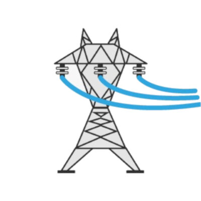
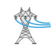
The LiDAR360 Framework lays the foundation for the entire software suite. With TB-level processing power, the Framework contains tools required for effectively interacting and manipulating LiDAR point cloud data. Functions include data management, automatic strip alignment, and point cloud classification. It also allows users to upgrade to application-specific modules such as terrain, ALS/ TLS Forestry, and Geological Analysis. In the latest version 5.0, the powerline module is added to LiDAR360. Users can conduct professional analysis on powerline data, such as classification, danger point detection, and so on.
Datasheets and manuals
You may also like…

3D scanning and lidar software
Valued customers:


Luca Dall’Asta (verified owner) –
Great software to post-process LiDAR data.