LS Lidar MS03
Login to view prices
Click here to login or register

Worldwide Shipping From The Netherlands

100% Shipping Insurance on Damage and Loss

Experts in Import / Export / Tax and Duties

Premium Support from Product Experts

Buyers Protection and Warranty on all Products
Need Help? Call us!
+31 (0)35 205 7939
LS Lidar MS03
Login to view prices
Click here to login or register
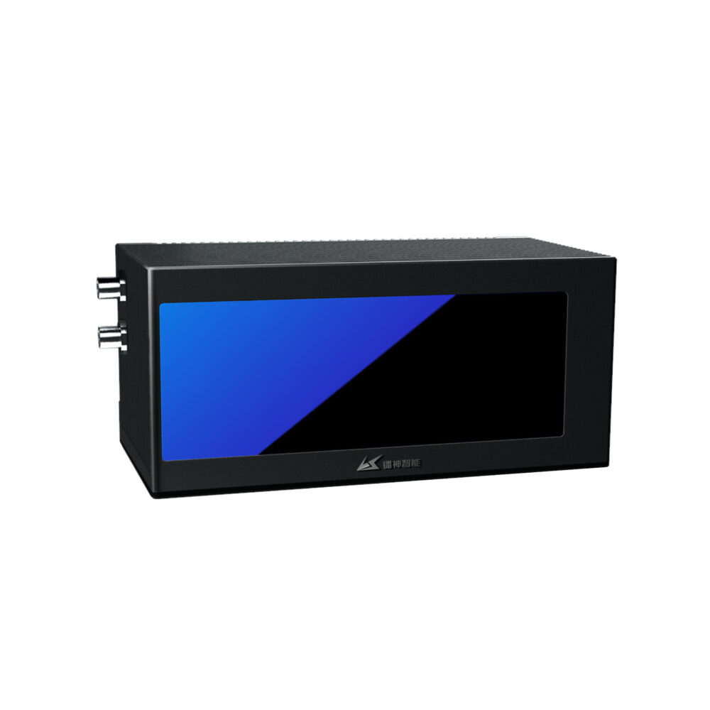
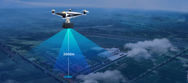
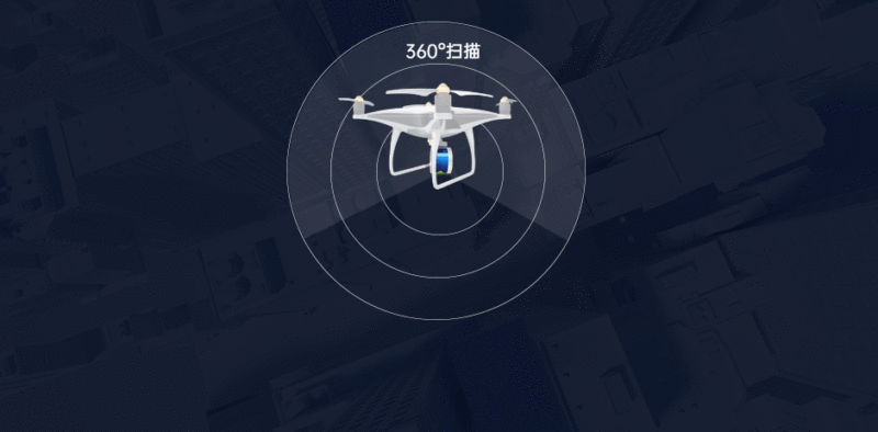
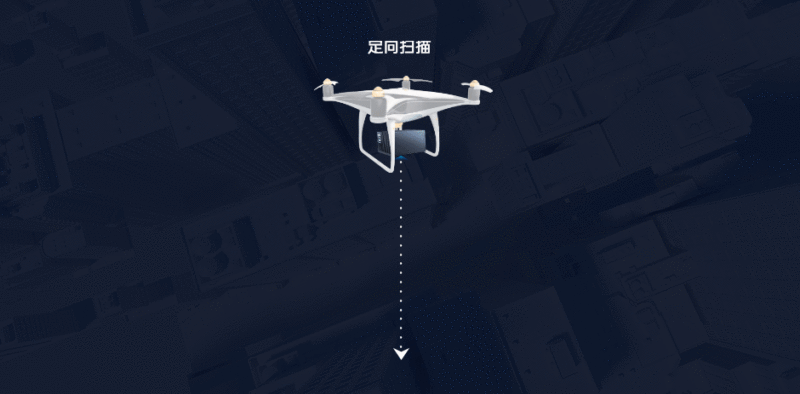
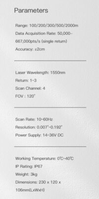
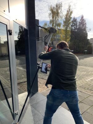
MS03 is a Lidar based on the ToF principle. Adopting Class I eye-safe laser, it scans at a high speed at a horizontal angle of 120° and reaches a detection range of up to 2,000 meters, a measurement accuracy of ±2 cm, and a minimum angular resolution of 0.01°. This product is widely used in the fields of high-precision map, smart city, urban 3D modelling, land survey, fire emergency, power inspection, track detection, mine detection, tunnel detection, forest detection, bridge collision avoidance, etc.
Range Accuracy: ±2cm
Max Detection Range: 2000m
IP Grade: IP67
Weight: ±3kg
Datasheets and manuals
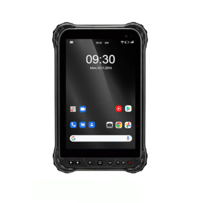
RECOMMENDED DATA COLLECTORS:
Click here to login or register
Click here to login or register
Click here to login or register
Click here to login or register
Click here to login or register
RECOMMENDED SOFTWARE:
Click here to login or register
Click here to login or register
Click here to login or register
Click here to login or register
Click here to login or register
Click here to login or register
RECOMMENDED ACCESSORIES:
Click here to login or register
Click here to login or register
Click here to login or register
Click here to login or register
Click here to login or register
Click here to login or register











Reviews
There are no reviews yet.