


")
Greenvalley LiAir 220N
Login to view prices
Click here to login or register

Worldwide Shipping From The Netherlands
100% Shipping Insurance on Damage and Loss
Experts in Import / Export / Tax and Duties
Premium Support from Product Experts
Buyers Protection and Warranty on all Products
Global GPS Systems
What Our Clients Say
Need Help? Call us!
+31 (0)35 205 7939
Greenvalley LiAir 220N
Login to view prices
Click here to login or register
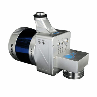
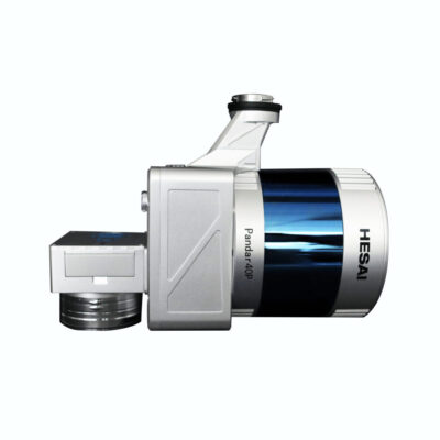
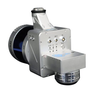
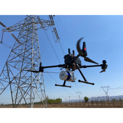
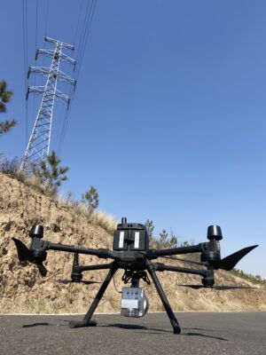
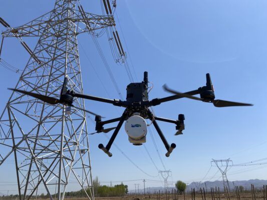
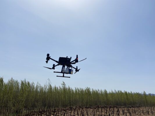
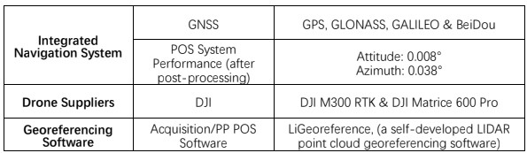
The LiAir 220N is the go-to solution for power line mapping. It integrates a 40-channel Hesai Pandar40P laser sensor with a 220 meter range. The Liair 220N is a sUAV-mounted system.
The LiAir 220N system integration is comprised of multiple technologies, including:
- Laser Scanner (LIDAR sensor)
- GNSS (Global Navigation Satellite System)
- IMU (Inertial Measurement Unit)
- System Control and Storage Unit
- Power Supply and Management Unit
LiGeoreference software included
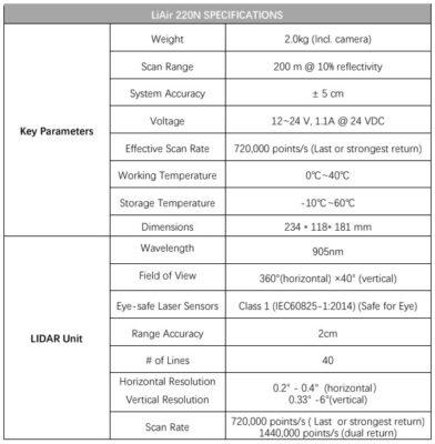
- Range Accuracy: ± 2cm
- Weight: 2.0 kg (Incl. camera)
- Scan Range: 200m at 10% reflectance
Datasheets and manuals
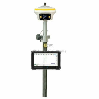
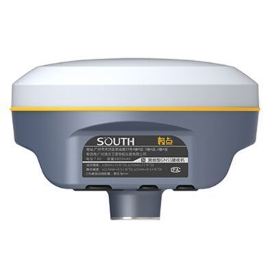
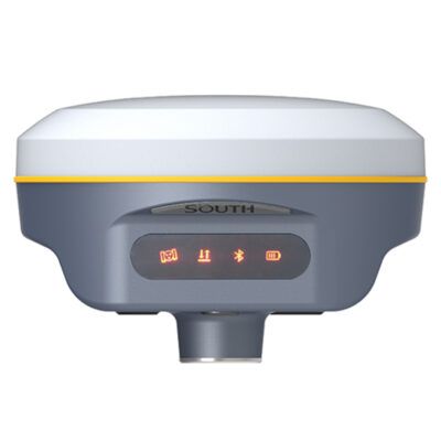
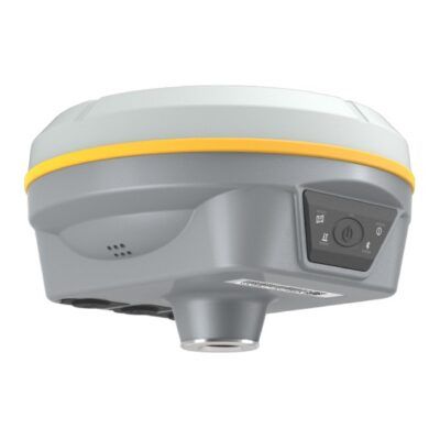
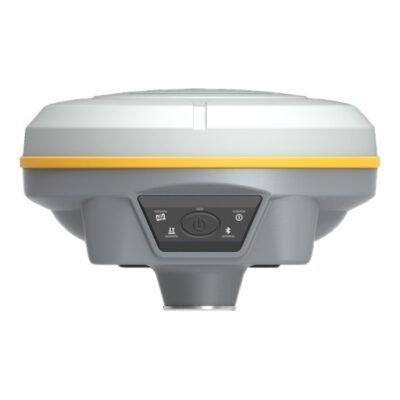
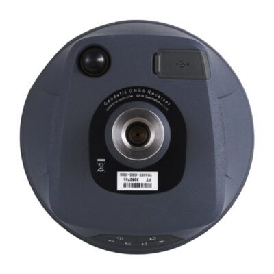
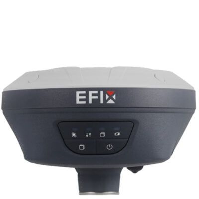
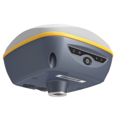
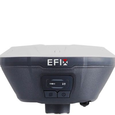
RECOMMENDED DATA COLLECTORS:


Login to view prices
Click here to login or register
Click here to login or register


Login to view prices
Click here to login or register
Click here to login or register


Login to view prices
Click here to login or register
Click here to login or register

Login to view prices
Click here to login or register
Click here to login or register

Login to view prices
Click here to login or register
Click here to login or register
RECOMMENDED SOFTWARE:

Login to view prices
Click here to login or register
Click here to login or register
38%

Login to view prices
Click here to login or register
Click here to login or register
25%

Login to view prices
Click here to login or register
Click here to login or register

Login to view prices
Click here to login or register
Click here to login or register
Login to view prices
Click here to login or register
Click here to login or register

Login to view prices
Click here to login or register
Click here to login or register
RECOMMENDED ACCESSORIES:
Login to view prices
Click here to login or register
Click here to login or register


Login to view prices
Click here to login or register
Click here to login or register

Login to view prices
Click here to login or register
Click here to login or register


Login to view prices
Click here to login or register
Click here to login or register


Login to view prices
Click here to login or register
Click here to login or register

Login to view prices
Click here to login or register
Click here to login or register


Reviews
There are no reviews yet.