


Greenvalley LiAir 50N
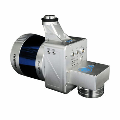
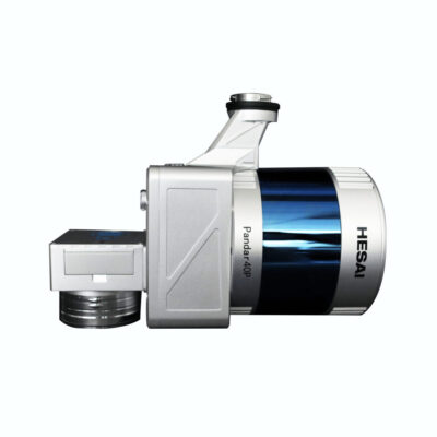
The LiAir 50N is a really lightweight cost-effective UAV LiDAR system. It’s powered by Velodyne’s VLP-16 sensor which makes it an ideal entry-level system for environments with minimal vegetation coverage.
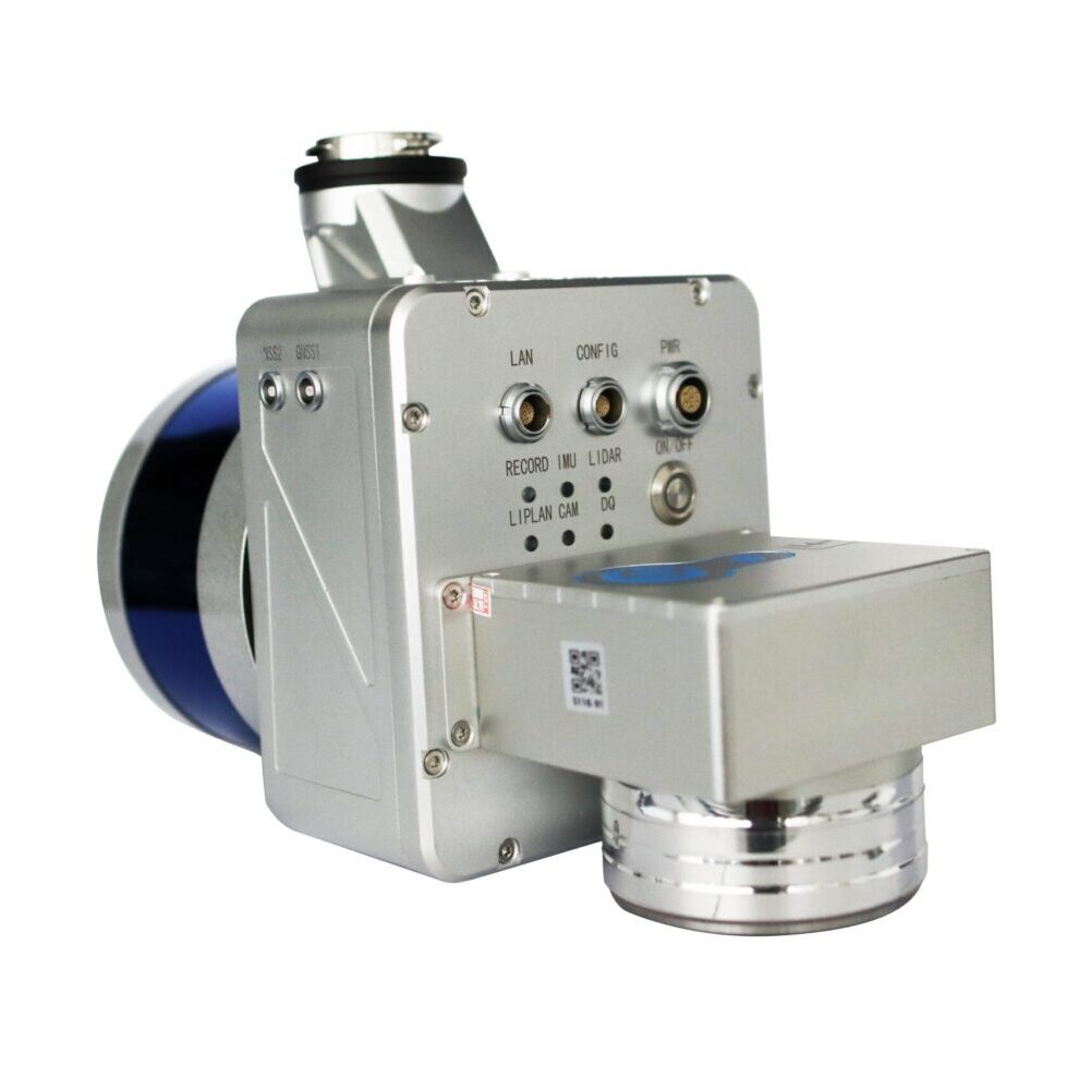
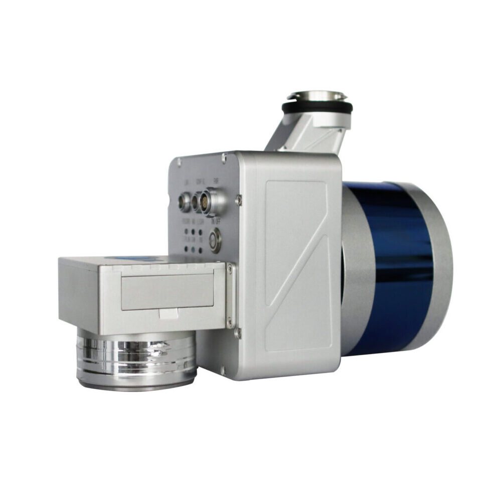
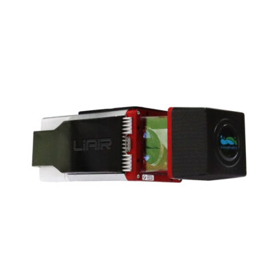
The LiAir 50N system integration is comprised of multiple technologies, including:
- Laser Scanner (LIDAR sensor)
- GNSS (Global Navigation Satellite System)
- IMU (Inertial Measurement Unit)
- System Control and Storage Unit
- Power Supply and Management Unit
LiGeoreference software included
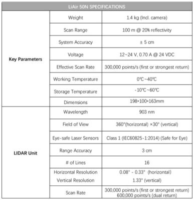
- Range accuracy: ± 3cm
- Weight: 1.4 kg (Incl. camera)
- Scan Range: 100m at 20% reflectance

Valued customers:


Find RTK Networks
Search NTRIP providers and connect to reliable RTK correction services.
Description
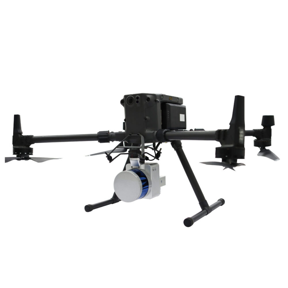
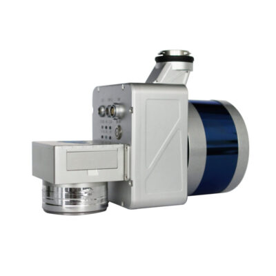
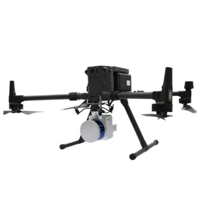
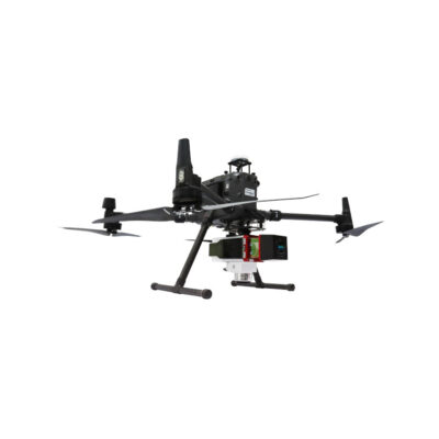
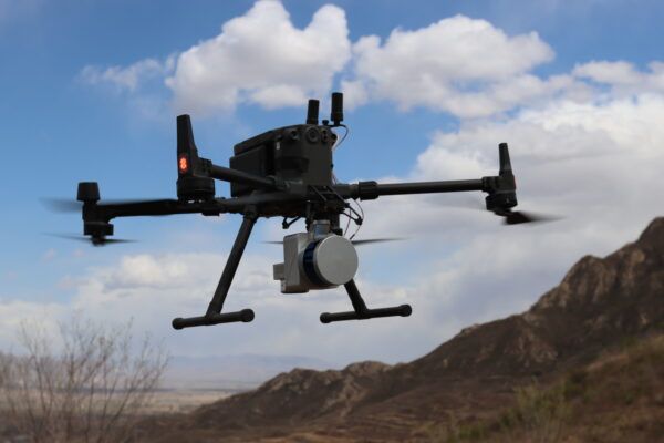
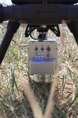
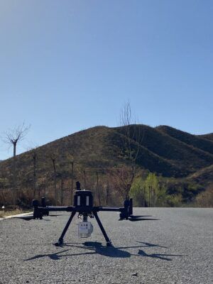
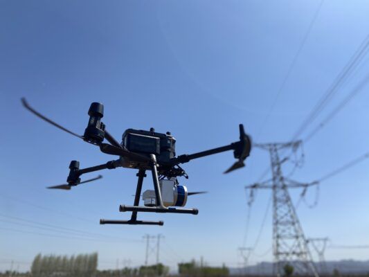
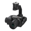
The LiAir 50N is a lightweight UAV- or sUAS-mounted LiDAR survey instrument designed and produced by GreenValley International (GVI). This system features a Velodyne’s Puck laser scanner and it is one of the most cost-effective LiDAR systems in GVI’s LiAir Series. This lightweight 3D surveying and mapping payload was designed with DJI’s Matrice 600 Pro & DJI M300 RTK series platforms. LiAir 50N is able to provide highly accurate 3D point cloud data and is a great fit for applications in a wide variety of industries. And it is also equipped with a high-definition digital camera, which can be used to generate photogrammetry products as well as true color 3D point clouds.
High Precision
Accuracy meets the requirements of large-scale topographic mapping.
High Efficiency
2 square kilometers by one device per day.
Simple Operation
One-button process data collection, one-button take-off and landing automatically execute the route
LiAir 50N SPECIFICATIONS

Datasheets & Manuals
Datasheets and manuals
Reviews (0)
Only logged in customers who have purchased this product may leave a review.
Reviews
There are no reviews yet