Greenvalley LiBackpack C50
Login to view prices
Click here to login or register

Worldwide Shipping From The Netherlands

100% Shipping Insurance on Damage and Loss

Experts in Import / Export / Tax and Duties

Premium Support from Product Experts

Buyers Protection and Warranty on all Products
Need Help? Call us!
+31 (0)35 205 7939
Greenvalley LiBackpack C50
Login to view prices
Click here to login or register
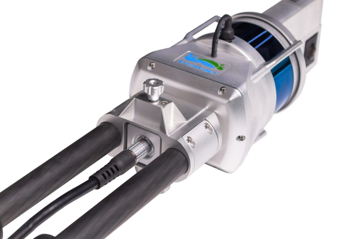
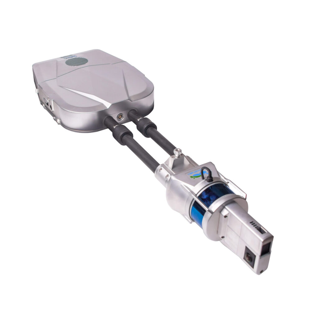
Mobile Backpack 3D Mapping System, 360° Camera + LiDAR Integration.
LiFuser software included
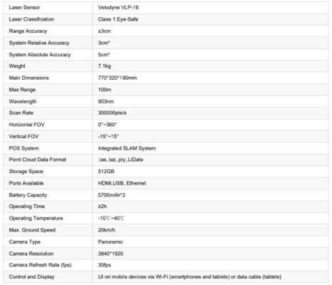
- Accuracy: ± 3cm
- Weight: 7.1 kg
- Laser Sensor: VLP16
LiBackPack C50 Package Includes:
- 1x Protection for laser scanner
- 1x Battery charger and power cable
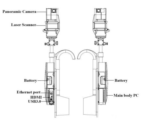
- 1x Scanner arm, laser scanner, and panoramic camera
- 1x LiBackpack C50 storage control unit
- 1x Control point accessories
- 1x Main connection line
- 1x LiBackpack C50 Wired Line
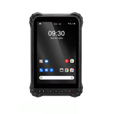
- 1x Surface tablet
- 1x Surface charger
- 1x LiBackpack C50 camera data cable
- 1x USB disk
Datasheets and manuals
RECOMMENDED DATA COLLECTORS:
Click here to login or register
Click here to login or register
Click here to login or register
Click here to login or register
Click here to login or register
RECOMMENDED SOFTWARE:
Click here to login or register
Click here to login or register
Click here to login or register
Click here to login or register
Click here to login or register
Click here to login or register
RECOMMENDED ACCESSORIES:
Click here to login or register
Click here to login or register
Click here to login or register
Click here to login or register
Click here to login or register
Click here to login or register














Reviews
There are no reviews yet.