13%

Cubic Orb KaliBro
Login to view prices
Click here to login or register

Worldwide Shipping From The Netherlands
100% Shipping Insurance on Damage and Loss
Experts in Import / Export / Tax and Duties
Premium Support from Product Experts
Buyers Protection and Warranty on all Products
Global GPS Systems
What Our Clients Say
Need Help? Call us!
+31 (0)35 205 7939
Cubic Orb KaliBro
Login to view prices
Click here to login or register
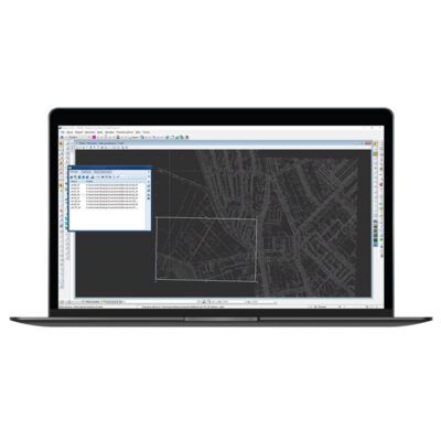
KaliBro is a well-known and appreciated land survey software from Cubic Orb. It allows to georeference (calibrate) rasters in a CAD environment. With KaliBro you can also comfortably edit, correct and manage raster images.
Why land surveyors love KaliBro?
- supports monochromatic, colour and shades of gray rasters
- loads a raster or group of geo-referenced rasters using the drag and drop method
- operation of geo-referenced readings GeoTIFF, GEO, WordFile
- operation of geo-referenced writings GeoTIFF, TAF, WordFile and DXF
- allows searching a hard disc for geo-reference rasters concerning a selected area
- edition of many rasters at the same time
- option to withdraw the last editing change
- mass resampling of rotated rasters
- calculation of a raster position based on a map index in various configurations
- option to georeference (calibrate) to a rotated raster with an optimal or configured raster rotation
- scanning a raster with a preview and rotation by 90 degrees before inserting into a drawing
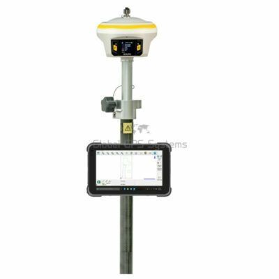
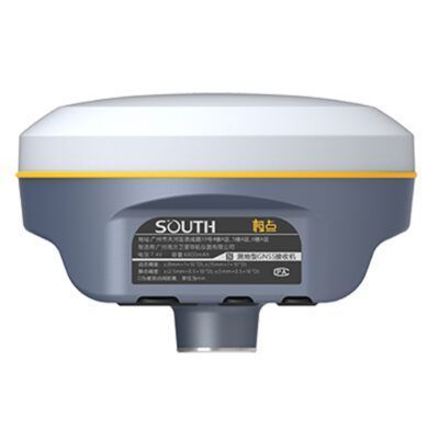
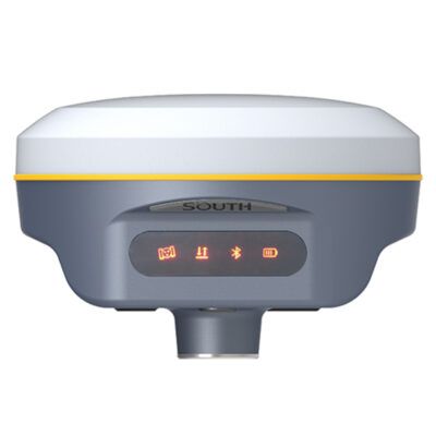
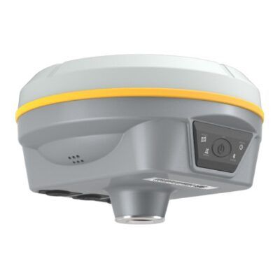
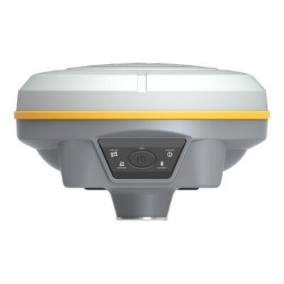
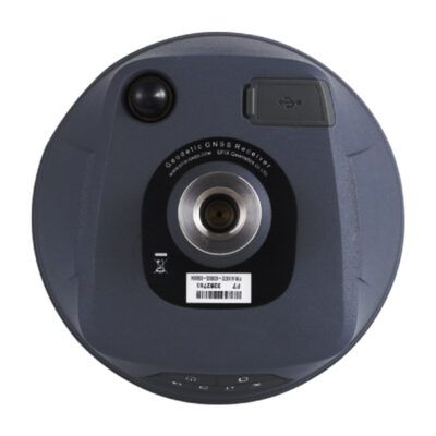
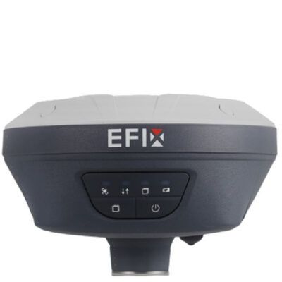
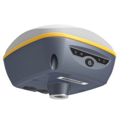
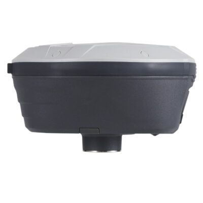
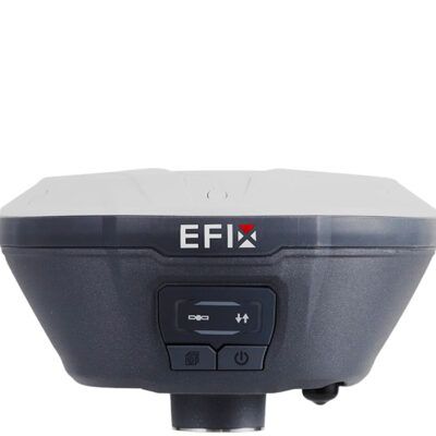
RECOMMENDED DATA COLLECTORS:


Login to view prices
Click here to login or register
Click here to login or register


Login to view prices
Click here to login or register
Click here to login or register


Login to view prices
Click here to login or register
Click here to login or register

Login to view prices
Click here to login or register
Click here to login or register

Login to view prices
Click here to login or register
Click here to login or register
RECOMMENDED SOFTWARE:

Login to view prices
Click here to login or register
Click here to login or register
38%

Login to view prices
Click here to login or register
Click here to login or register
25%

Login to view prices
Click here to login or register
Click here to login or register

Login to view prices
Click here to login or register
Click here to login or register
Login to view prices
Click here to login or register
Click here to login or register

Login to view prices
Click here to login or register
Click here to login or register
RECOMMENDED ACCESSORIES:
Login to view prices
Click here to login or register
Click here to login or register


Login to view prices
Click here to login or register
Click here to login or register

Login to view prices
Click here to login or register
Click here to login or register


Login to view prices
Click here to login or register
Click here to login or register


Login to view prices
Click here to login or register
Click here to login or register

Login to view prices
Click here to login or register
Click here to login or register


Reviews
There are no reviews yet.