
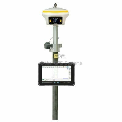
Stonex GeoGis-W10
Login to view prices
Click here to login or register

Worldwide Shipping From The Netherlands
100% Shipping Insurance on Damage and Loss
Experts in Import / Export / Tax and Duties
Premium Support from Product Experts
Buyers Protection and Warranty on all Products
Global GPS Systems
What Our Clients Say
Need Help? Call us!
+31 (0)35 205 7939
Stonex GeoGis-W10
Login to view prices
Click here to login or register
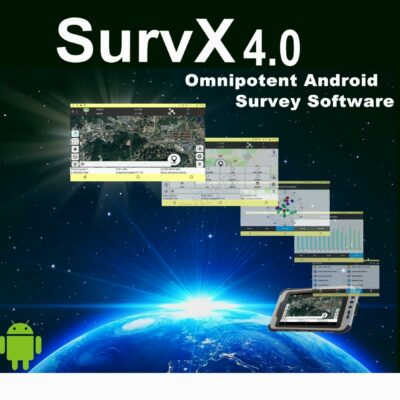
GeoGisW10 is a software for topographic survey dedicated to GIS (Geographic Information Systems) applications.
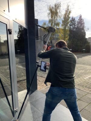
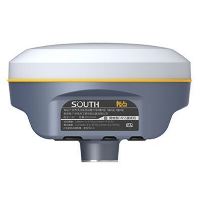
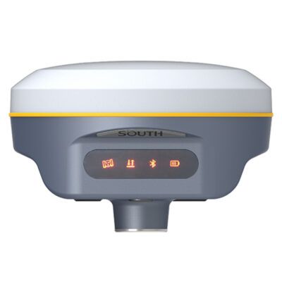
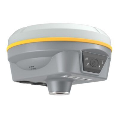
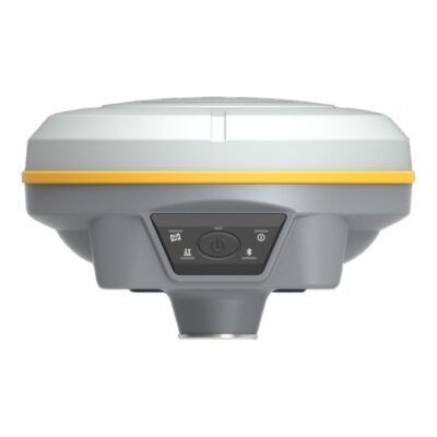
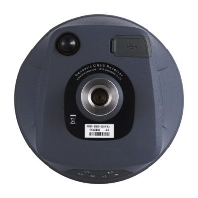
The ideal operating environment is a Windows 10 Tablet with GPS, camera, modem for a data SIM and a Bluetooth system to allow connection to all Stonex GNSS receivers.
It allows topographic precision surveying using connection to networks that offer RTK service, or rapid survey with metric/decimal accuracy.
Creating a survey file now it is simple, that allows data post-processing for better accuracy.
Datasheets and manuals
Datasheet
RECOMMENDED DATA COLLECTORS:


Login to view prices
Click here to login or register
Click here to login or register


Login to view prices
Click here to login or register
Click here to login or register


Login to view prices
Click here to login or register
Click here to login or register

Login to view prices
Click here to login or register
Click here to login or register

Login to view prices
Click here to login or register
Click here to login or register
RECOMMENDED SOFTWARE:
Login to view prices
Click here to login or register
Click here to login or register
38%

Login to view prices
Click here to login or register
Click here to login or register
25%

Login to view prices
Click here to login or register
Click here to login or register

Login to view prices
Click here to login or register
Click here to login or register
Login to view prices
Click here to login or register
Click here to login or register

Login to view prices
Click here to login or register
Click here to login or register
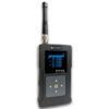
RECOMMENDED ACCESSORIES:
Login to view prices
Click here to login or register
Click here to login or register


Login to view prices
Click here to login or register
Click here to login or register

Login to view prices
Click here to login or register
Click here to login or register


Login to view prices
Click here to login or register
Click here to login or register


Login to view prices
Click here to login or register
Click here to login or register

Login to view prices
Click here to login or register
Click here to login or register


Reviews
There are no reviews yet.