


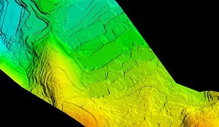
Revolutionary LiDAR User Training: An In-job Training Story
Using LiDAR on a project When a new methodology comes into the survey society, people [...]
14
Jul
Jul
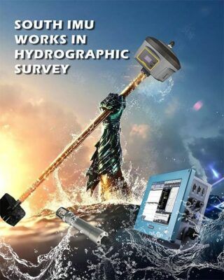
RTK GPS with IMU in Hydrographic Surveying
Now SOUTH G6 can output the IMU data and the on board software of SDE-260D [...]
14
Jul
Jul
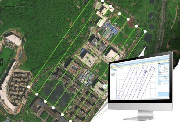
Fly PPK Drone and get your precise POS data with Skylines
Transforming more tough fieldwork, like GCP (Ground Control Point) measurements, into fast processing is always [...]
2 Comments
14
Jul
Jul
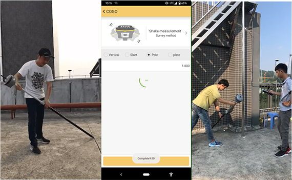
IMU-based RTK helps improve your work efficiency
Development of surveying Once upon of time, the measurement method was limited by using indium [...]
02
Jul
Jul