Marine
RTK GPS with IMU in Hydrographic Surveying
A professional hydrographic surveying package
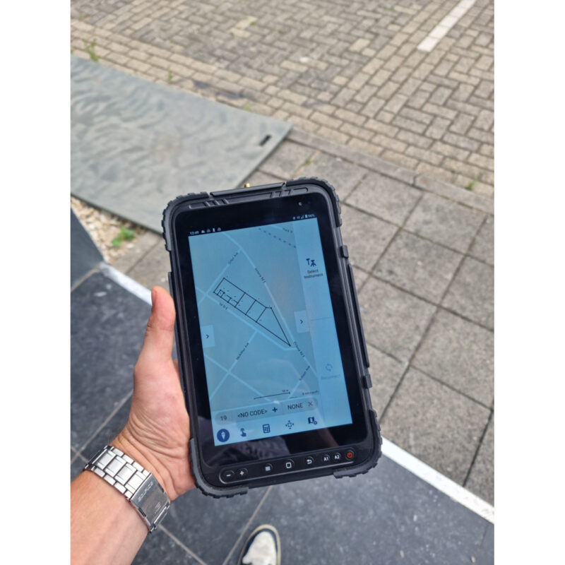
Before we always use the external IMU sensor to calculate the coordinate when the survey pole which is not vertical, like below picture or some. And the external IMU will spend you big cost.
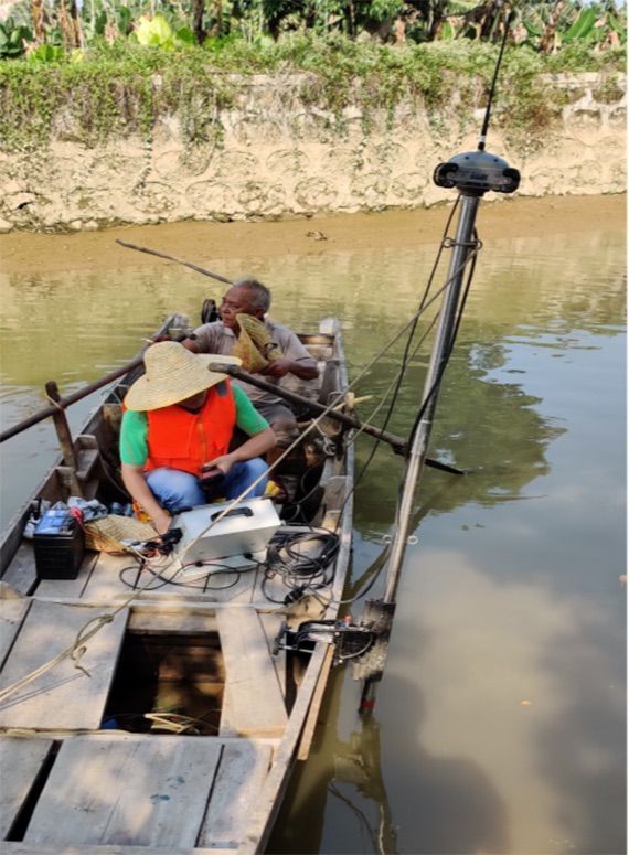
Now SOUTH G6 can output the IMU data and the on board software of SDE-260D can process the coordinate with the IMU dada. This function will let SOUTH clients get more accurate coordinate under water, it no need to spends you so much money to buy the external IMU.
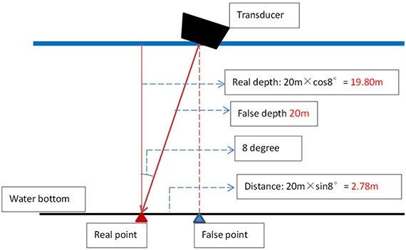
Take 20m water depth for example, if the survey pole is 8 degree slant (without consider the heave data), the real water depth is 19.80m, and the offset distance is 2.78m. See as below picture.
The below table will show you the error when survey pole slant is 8 degree and 15 degree in 10m, 20m, 40m and 80m water depth:
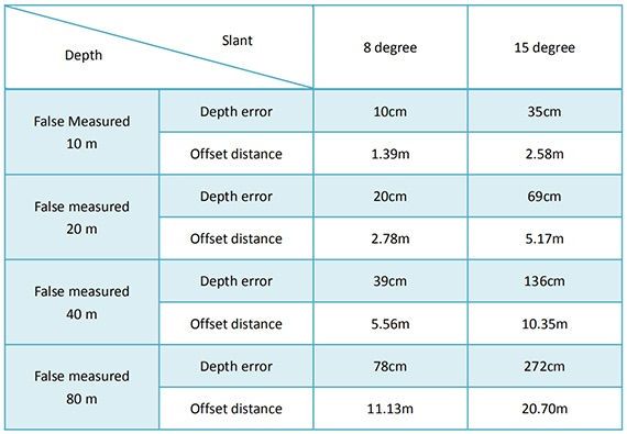
From the above table, you can see it is a big error because of the slant survey pole, and as you know, the survey boat is not stable when surveying, always cause the survey pole not vertical. So SOUTH give you a perfect solution with perfect price to solve this problem: SDE-260D+SOUTH IMU RTK.
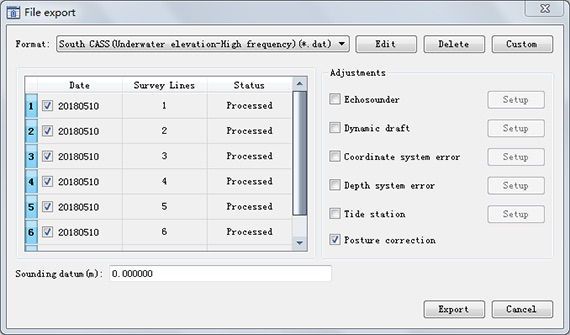
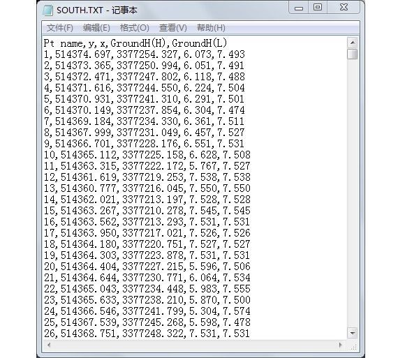
With the easy operation, SOUTH clients only need to select “Posture correction” as below picture, then click “Export” and software will output the final water bottom coordinate result. See as below pictures
SOUTH also give you a convenient equipment SV30 for obtaining the sound velocity under water for hydrographic survey.
If without sound velocity sensor, we need to do the bar check to get the sound velocity. The bar check is metal panel is heavy, around 10KG, normally. And the SV30 weight is only 1KG. Simple operation, just connect to the SDE-260D and then get the precise value of sound velocity.

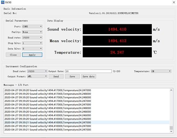
Get the sound velocity easily just use SOUTH SV30 software, see as below picture
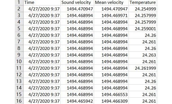
Export the sound velocity data as below picture.


