


Greenvalley LiAir H1800

Request pricing
Limited time offer! 1 year free RTK license with every Lidar or GNSS purchase!
Get a personalised quotation with detailed advise from our experts.

Find RTK Networks
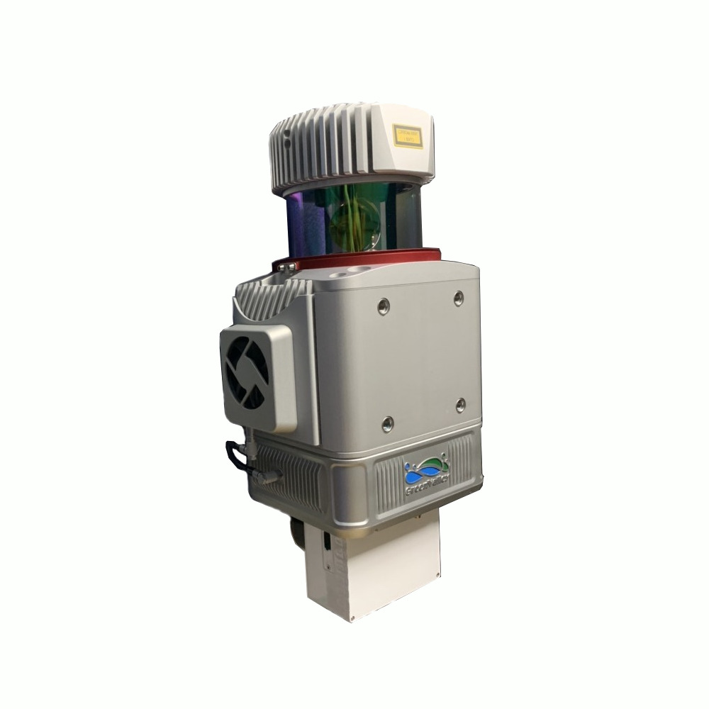
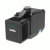
Search NTRIP ProvidersGreenValley International has developed the LiAir H1800, a lightweight laser radar scanning system. This innovative technology integrates a long-range LiDAR scanner, GNSS and IMU positioning systems, and a storage control unit. Capable of acquiring substantial volumes of high-precision point cloud data and rich image information, the product is designed for compactness and lightness, weighing under 4.36kg (excluding the camera and accessories), making it easily mountable. Featuring support for a large data storage mode and controllable via a web user interface, it allows for convenient device management through smartphones, tablets, and other devices. Widely applied in diverse fields, including topographic mapping, power line inspection, forestry monitoring, and mining surveys.
Datasheets and manuals
Datasheet
Valued customers:


Greenvalley LiAir H1800
Request pricing
Limited time offer! 1 year free RTK license with every Lidar or GNSS purchase!
Get a personalised quotation with detailed advise from our experts.

Worldwide Shipping From The Netherlands
100% Shipping Insurance on Damage and Loss
Experts in Import / Export / Tax and Duties
Premium Support from Product Experts


Reviews
There are no reviews yet.