Aplitop Tcp Tunnel Scan
Login to view prices
Click here to login or register

Worldwide Shipping From The Netherlands

100% Shipping Insurance on Damage and Loss

Experts in Import / Export / Tax and Duties

Premium Support from Product Experts

Buyers Protection and Warranty on all Products
Need Help? Call us!
+31 (0)35 205 7939
Aplitop Tcp Tunnel Scan
Login to view prices
Click here to login or register
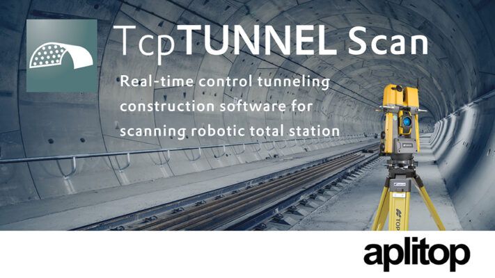
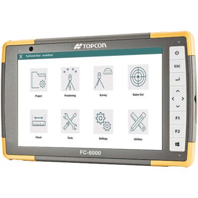
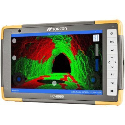
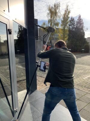
TcpTUNNEL Scan installs on a Windows tablet connected to the scanning robotic total station TOPCON GTL-1000.
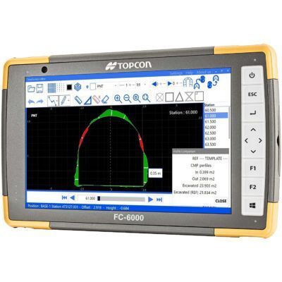
The software commands the scanning of the tunnel vault or face and show the point cloud in a powerful 3D viewer. High definition tunnel cross-sections are calculated, and they can be compared to the tunnel design, showing the underbreak and overbreak areas. Selecting any point of the profile on the screen, the laser pointer marks the position in the tunnel and vice versa.
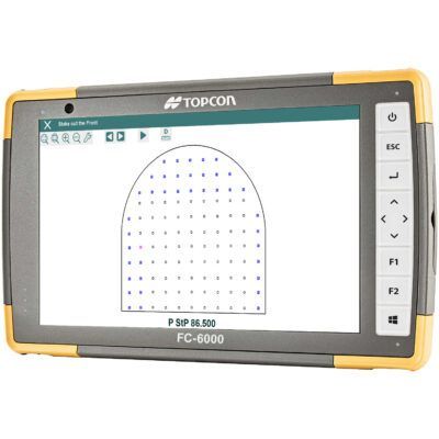
TcpTUNNEL Scan facilitates the stake out of the tunnel front, for example the drill hole points for the next blasting excavation sequence, points on the template, rock bolts, road surface and more.
Datasheets and manuals
Datasheet
Installation Manual
Manual
RECOMMENDED DATA COLLECTORS:
Click here to login or register
Click here to login or register
Click here to login or register
Click here to login or register
Click here to login or register
RECOMMENDED SOFTWARE:
Click here to login or register
Click here to login or register
Click here to login or register
Click here to login or register
Click here to login or register
Click here to login or register
RECOMMENDED ACCESSORIES:
Click here to login or register
Click here to login or register
Click here to login or register
Click here to login or register
Click here to login or register
Click here to login or register















Reviews
There are no reviews yet.